Newfoundland
Every drive measured from where you land, by air or by sea.
Landing at Gander, Deer Lake or St. John's?
Newfoundland is an island off Canada's Atlantic coast, with three airports and three ferry terminals. The farthest two (Port aux Basques and Fortune) are 948 km apart by road. Tap where you land, or what you came for.
Arriving by ferry with your own car? Which crossing → · Port aux Basques · Argentia. Tap “All arrivals” to see them.
Plan on a rental car. 111 routes measured, 96 from an airport or ferry terminal, checked August 28, 2026.
No car? What you can reach without one: Gander · Deer Lake · St. John's
Where to start
Our picks. Choose a filter to see every match, shortest first. Numbers match the map.
- 24 km · from St. John's
 Nilfanion · CC BY-SA 3.0
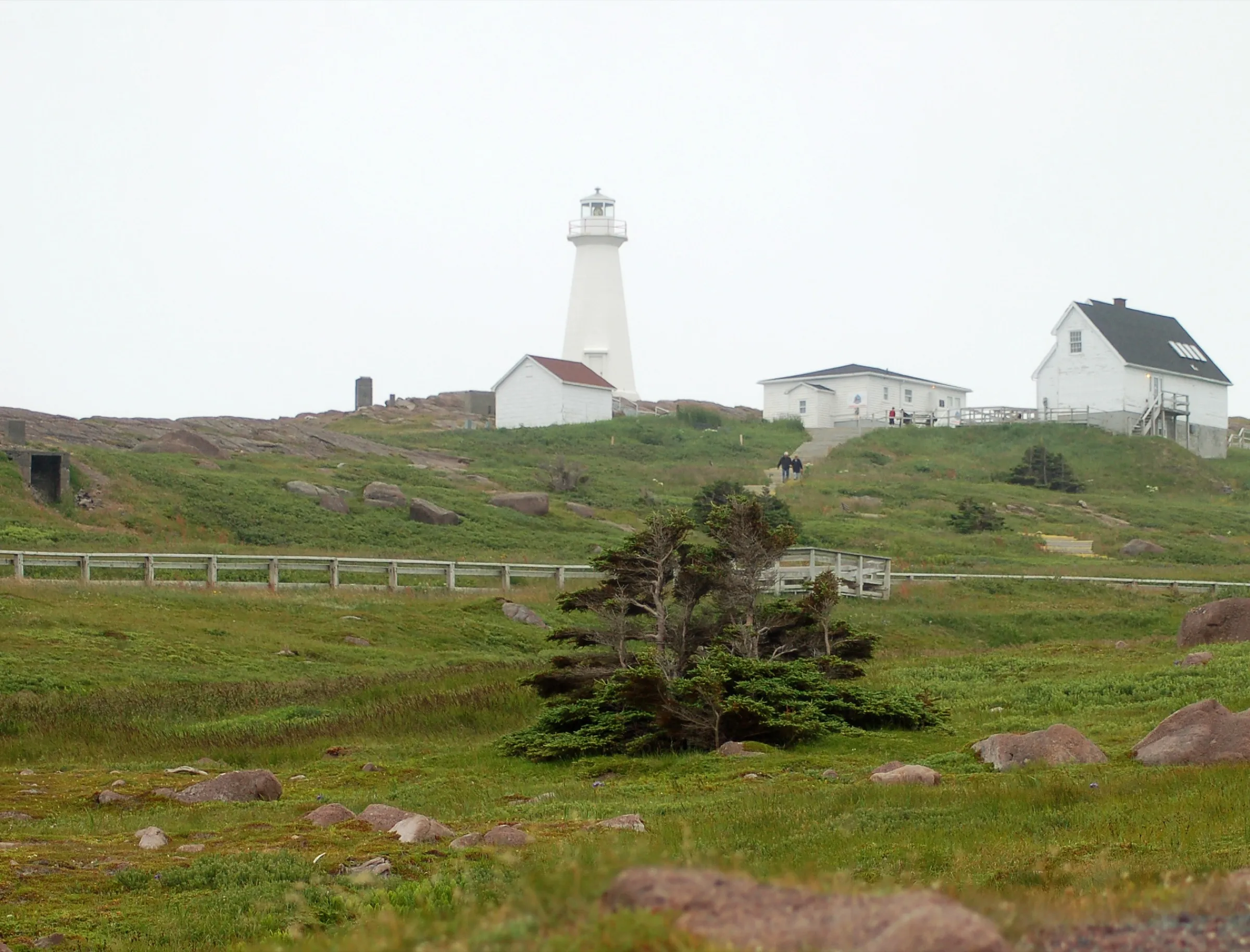
Cape Spear
Canada's most easterly point of land, and a National Historic Site on top of it — 24 km from the airport.
- 72 km · from Deer Lake
 FreeDoum · CC BY-SA 4.0
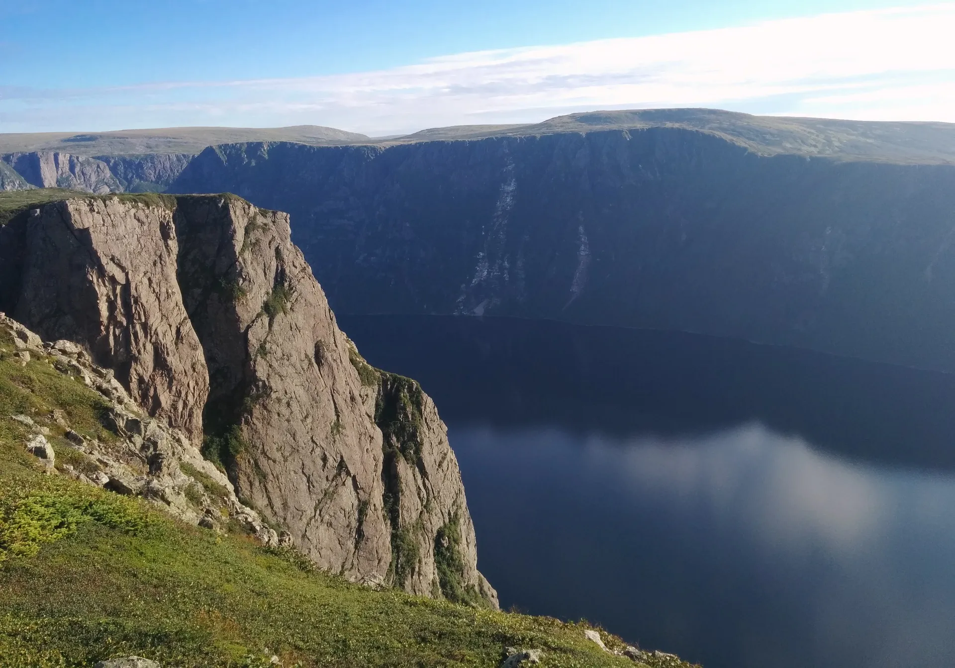
Gros Morne (Rocky Harbour)
A fjord sealed into the mountains, and bare orange rock that used to be the Earth's mantle. UNESCO-listed, and nearly empty by any park's standards.
- 86 km + ferry · from Gander
 Paul Asman and Jill Lenoble · CC BY 2.0
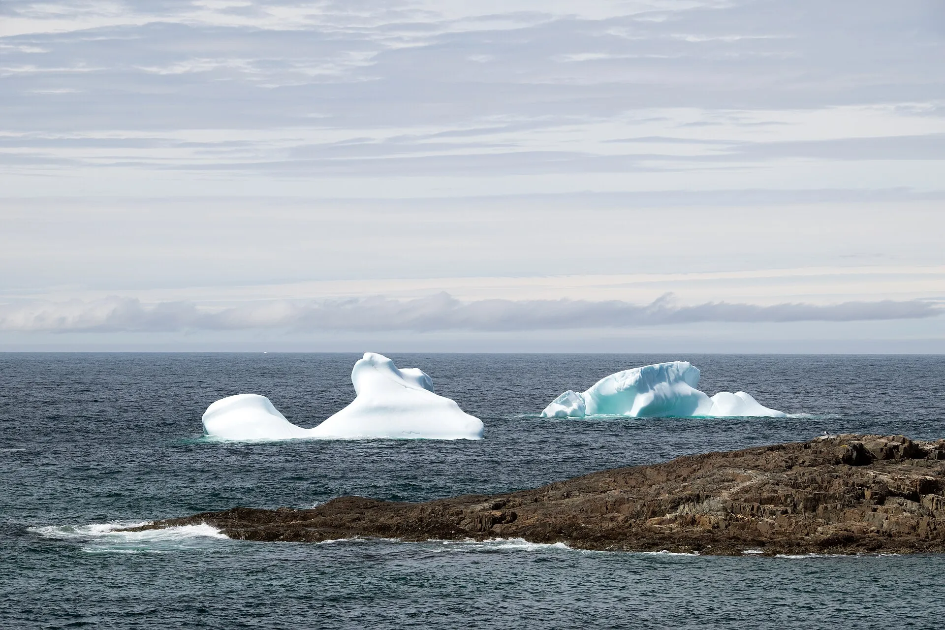
Fogo Island
A ferry, an island of artists and fishing crews, and a headland the Flat Earth Society calls one of the four corners of the Earth.
- 46 km · from St. John's
 Brett Hodnett · CC BY-SA 2.0
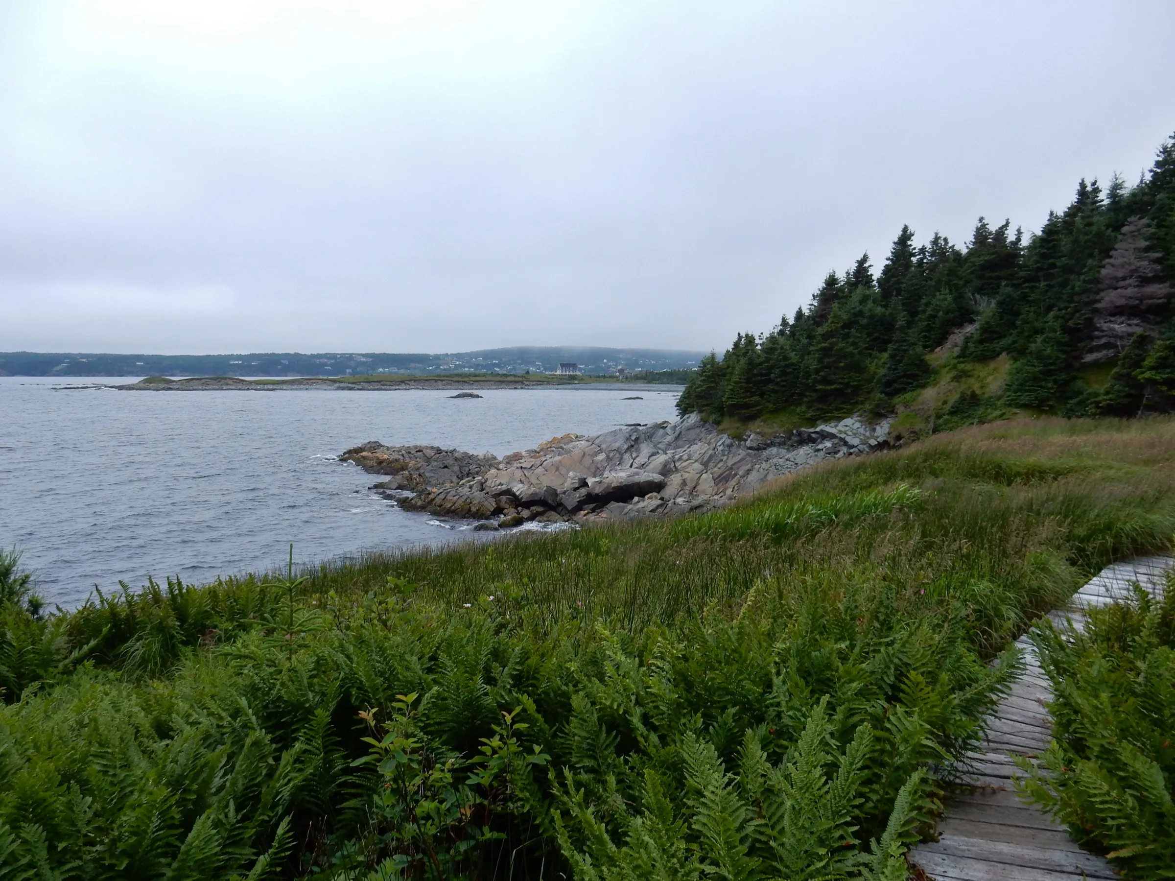
Witless Bay
46 km down the Southern Shore Highway to the harbour the seabird islands sit off — and the East Coast Trail along the cliffs above it.
- 208 km · from Deer Lake
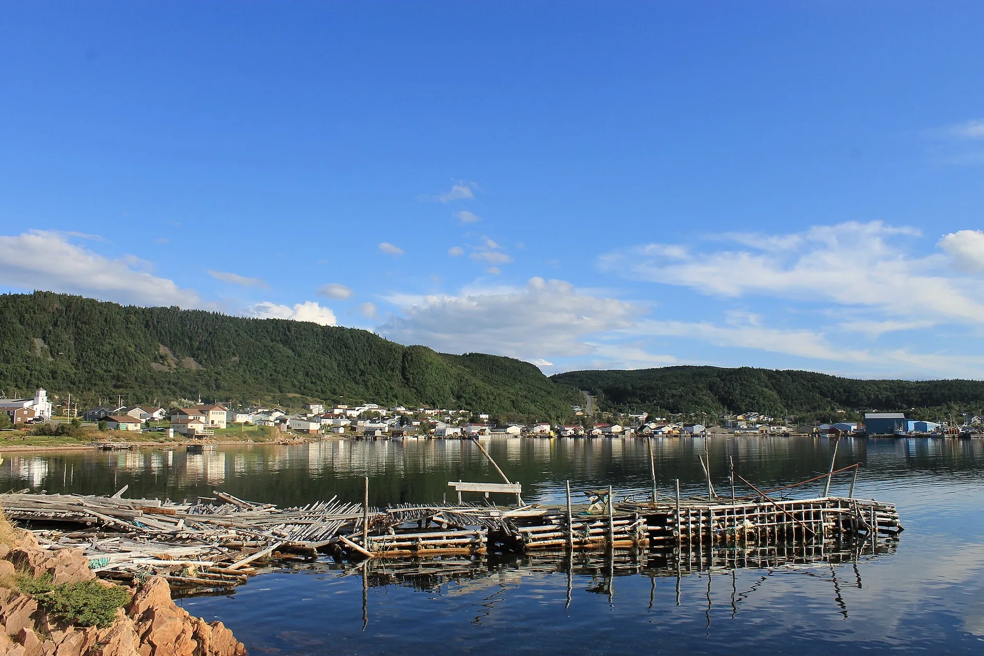 Scio c · CC BY-SA 4.0
La Scie
The end of Route 414: a harbour town on the open Atlantic, and one of the iceberg-viewing spots the province names.
- 114 km · from Gander
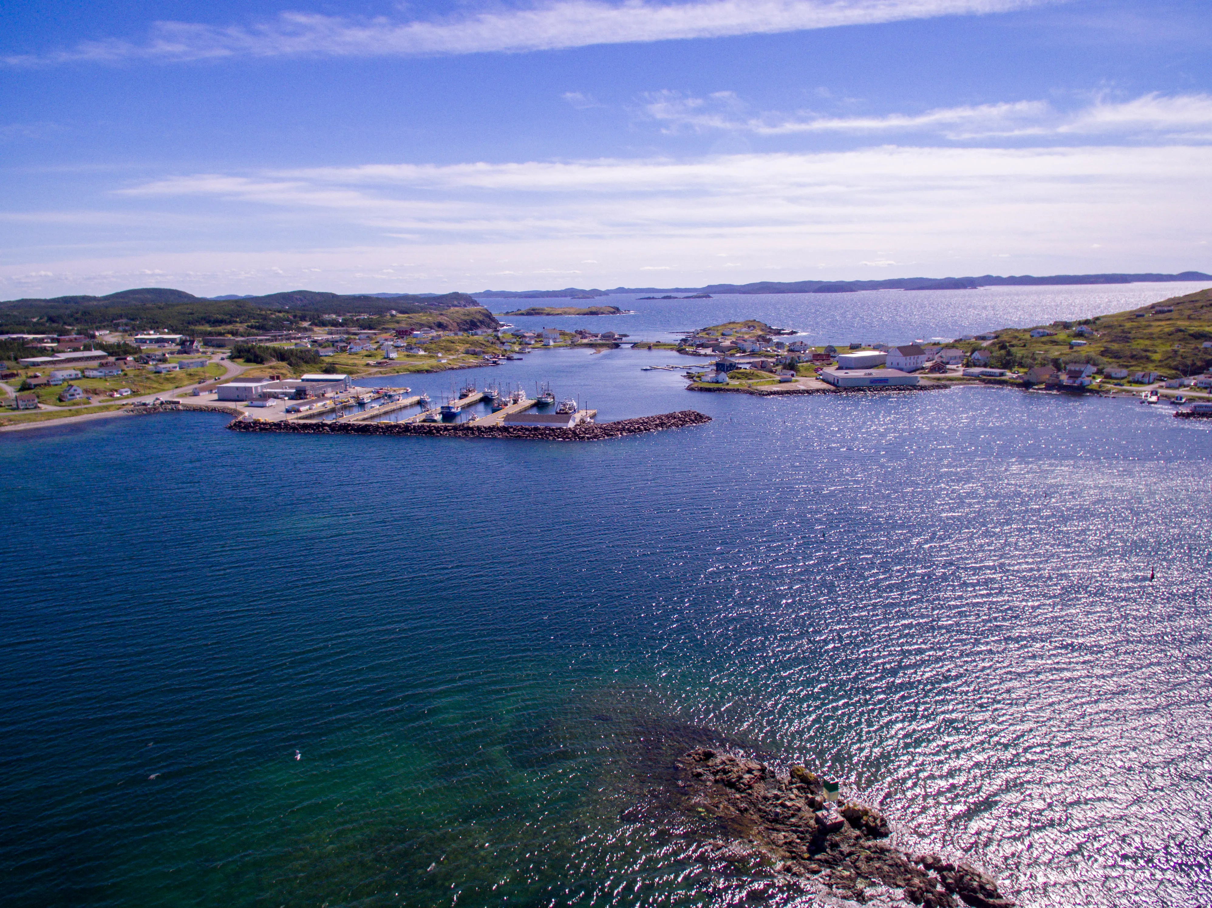 Shhewitt · CC BY-SA 4.0
Twillingate
Iceberg Alley's front-row town — glacial ice off the headlands in spring, the province's count of ten thousand humpbacks behind it.
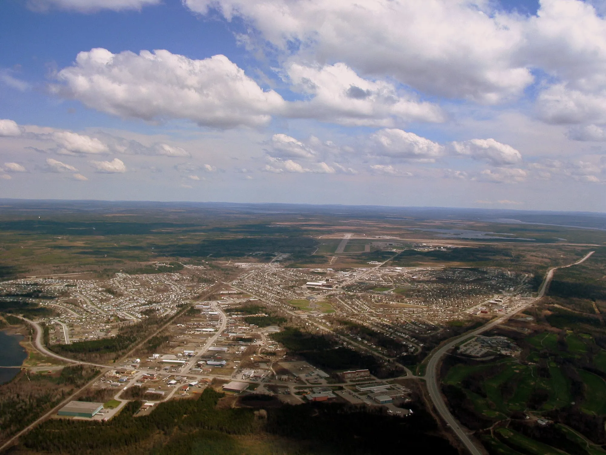 Shawn from Airdrie, Canada · CC BY-SA 2.0
Gander town
3.7 km · from Gander
Gander Airport to the town of Gander: 3.7 km on town streets, with the aviation museum and the old wartime townsite close by.
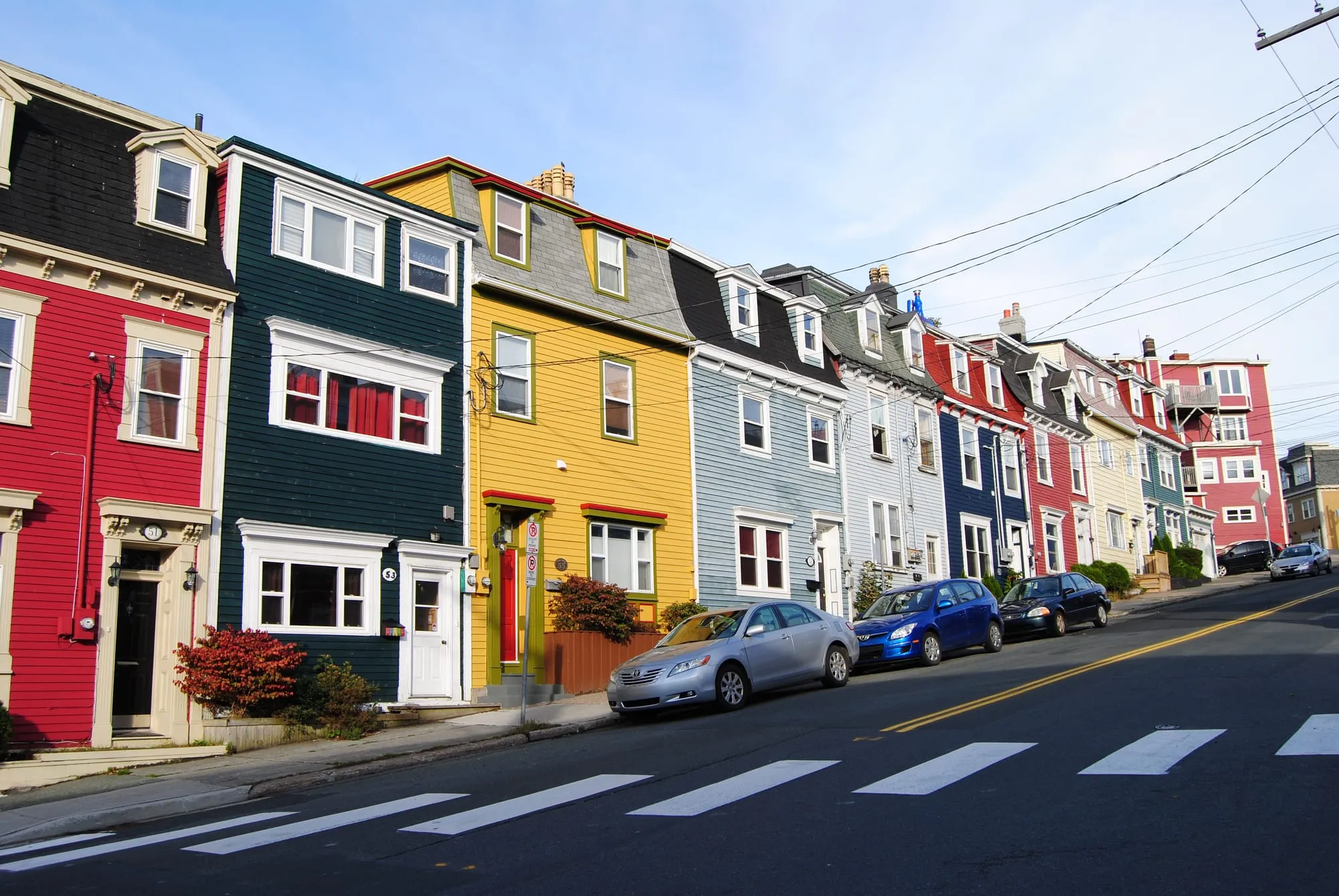 Paul · CC BY 2.0
downtown St. John's
7.7 km · from St. John's
St. John's Airport to downtown St. John's: 7.7 km on Route 40, down to the old town on the hill above the harbour.
 route map
Signal Hill
9 km · from St. John's
St. John's Airport to Signal Hill: 9 km on Route 40 and city streets, up to Cabot Tower above the harbour and the Narrows.
 Paul from Hacketts Cove, Canada · CC BY 2.0
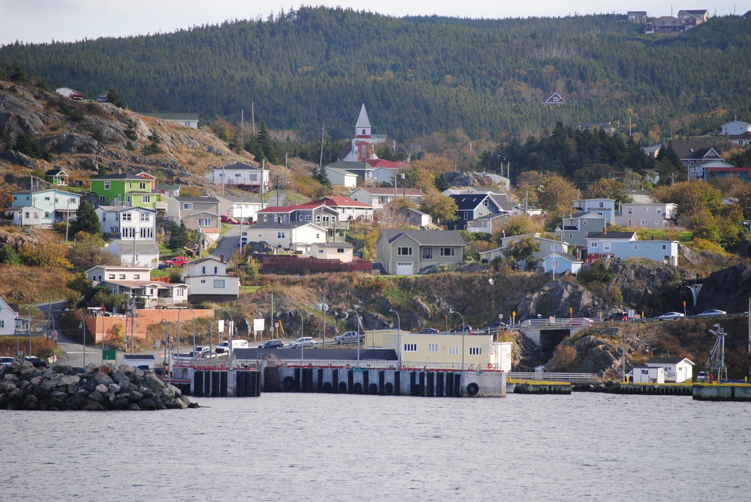
Portugal Cove ferry terminal
11 km + ferry · from St. John's
Portugal Cove ferry terminal, for the Bell Island ferry, is 10.6 km from St. John's airport via Route 40.
 route map
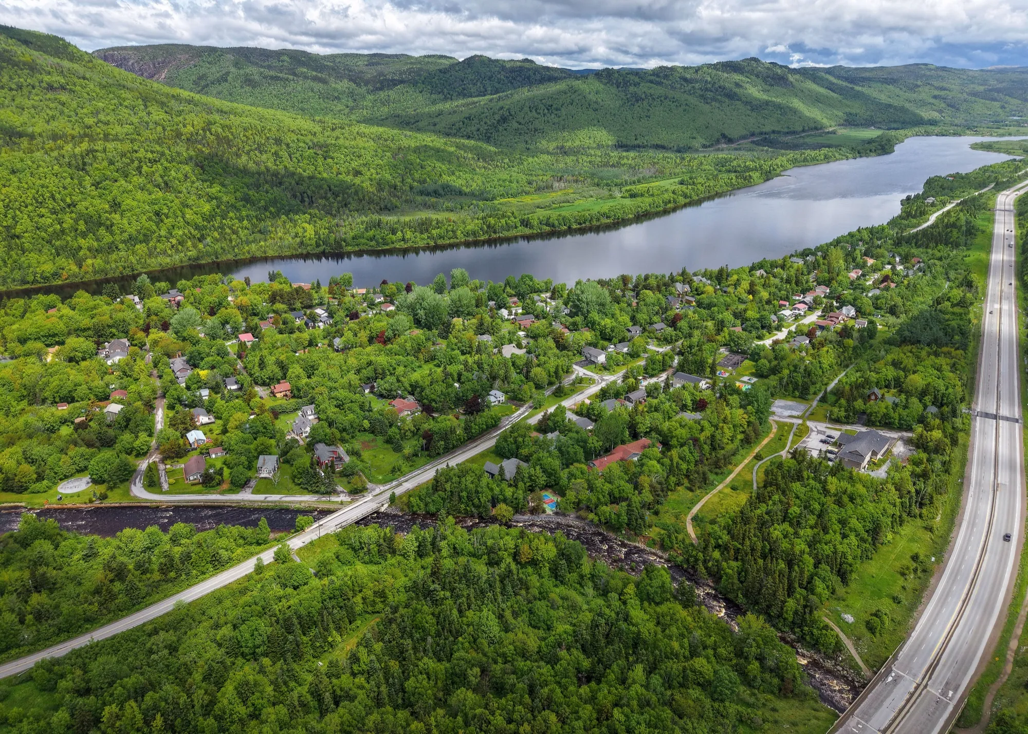
Codroy Valley
40 km · from Port aux Basques
Off the boat at Port aux Basques, the Codroy Valley is 40 km on the Trans-Canada and Route 407 — the one short drive from that dock.
 Quintin Soloviev · CC BY 4.0
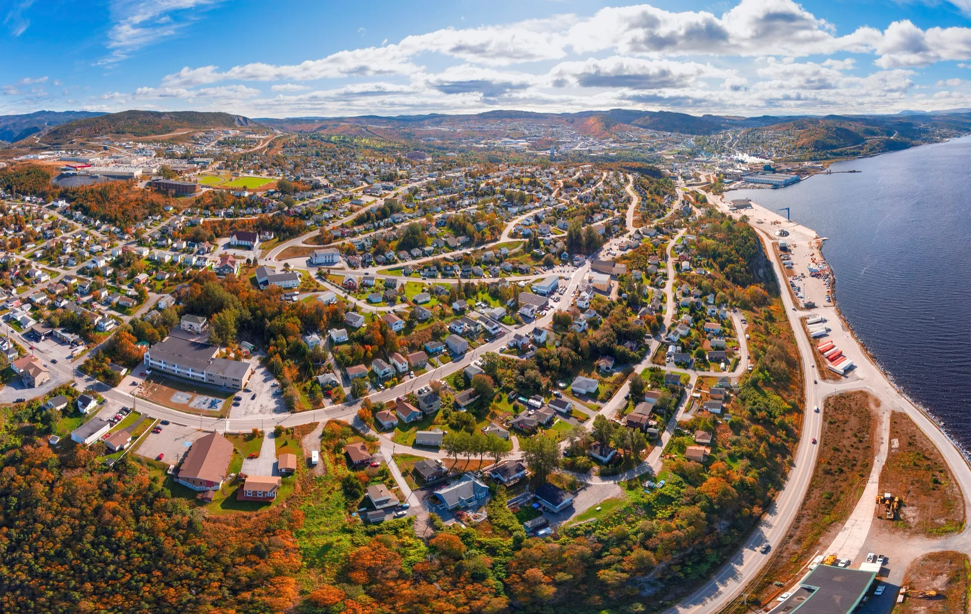
Marble Mountain
47 km · from Deer Lake
You land at Deer Lake and Marble Mountain is 47 km southwest on the Trans-Canada down the Humber Valley to the base lodge at Steady Brook.
 ParsonsPhotographyNL · CC BY-SA 4.0
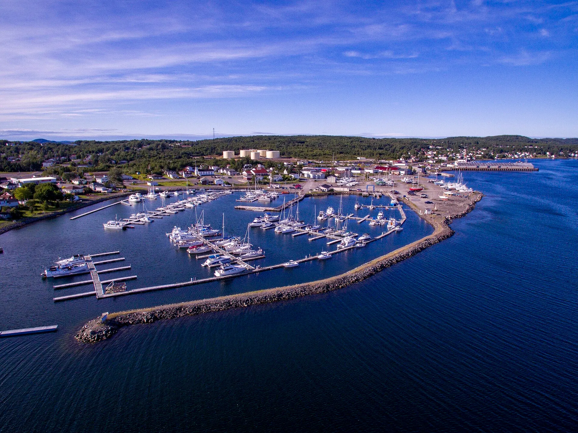
Corner Brook
57 km · from Deer Lake
You land at Deer Lake and Corner Brook is 57 km southwest, down the Humber Valley to the west coast's city and Captain Cook's lookout.
 Shhewitt · CC BY-SA 4.0
Lewisporte
63 km · from Gander
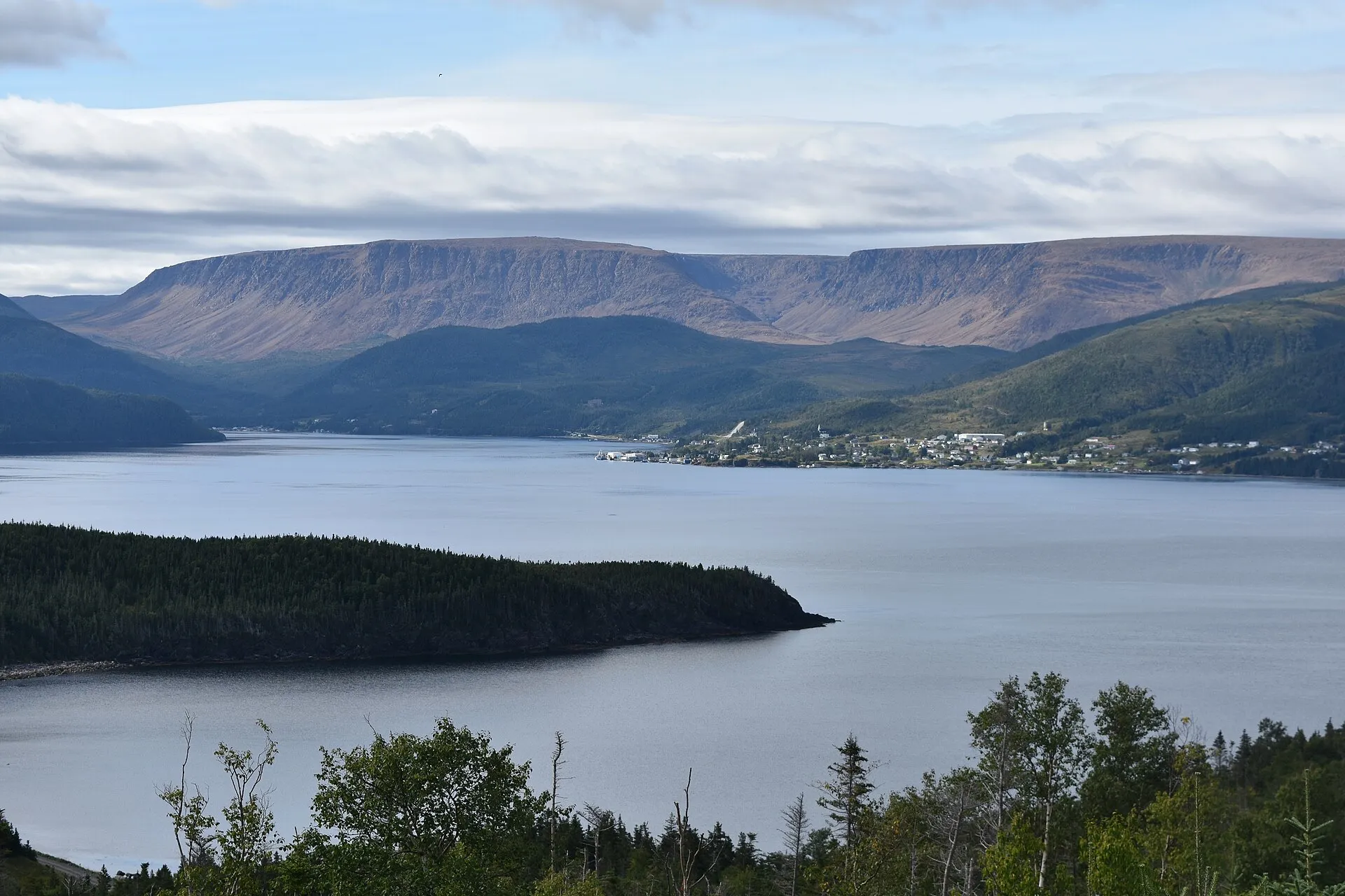
You land at Gander and Lewisporte is 63 km north-west: the Trans-Canada west, then Routes 340 and 341 north to the bay.
 Adavyd · CC BY-SA 4.0
Woody Point
67 km · from Deer Lake
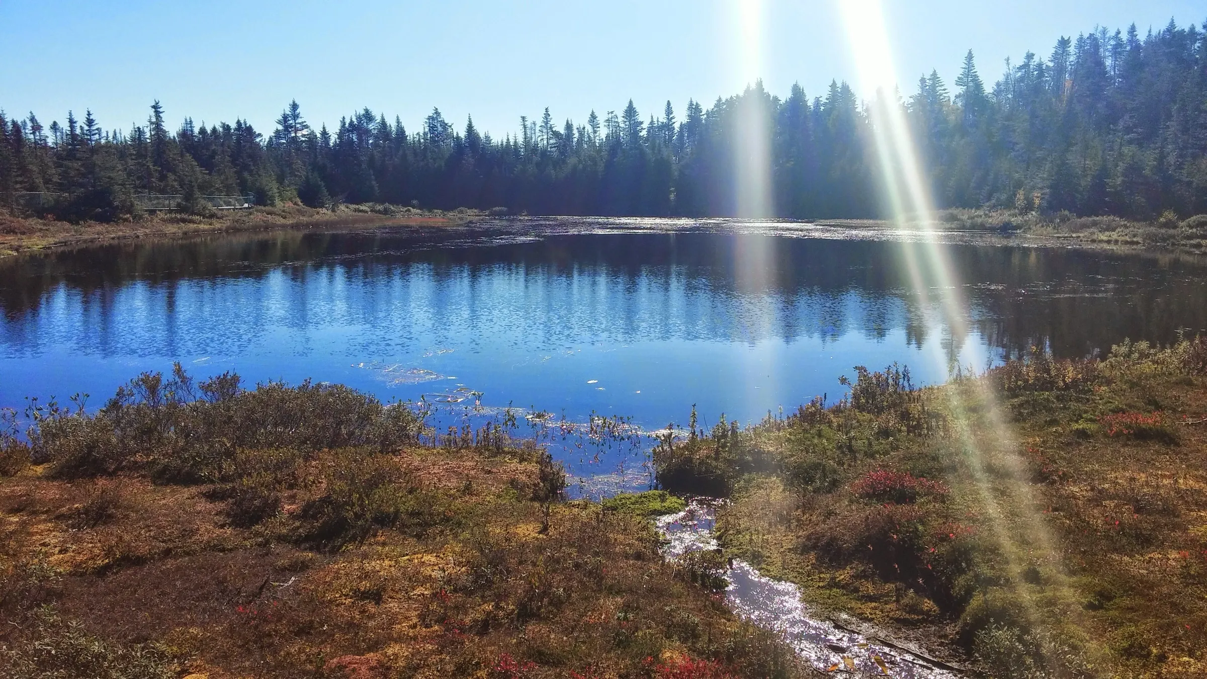
The south arm of Gros Morne: 67.2 km from Deer Lake, on a different turn from Rocky Harbour and no closer to it.
 Nikkiband · CC BY-SA 4.0
Salmonier Nature Park
68 km · from St. John's
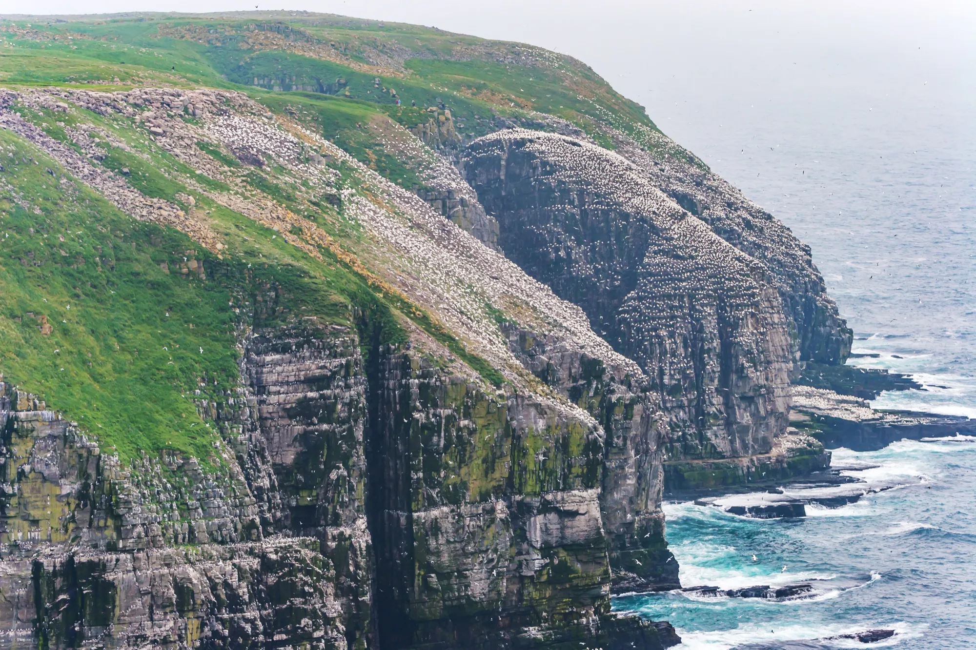
Salmonier Nature Park is a 68 km drive from St. John's airport: Route 40, the Trans-Canada southwest, then Route 90, the Salmonier Line.
 Michel Rathwell from Cornwall, Canada · CC BY 2.0
Cape St. Mary's
71 km · from Argentia
Off the boat at Argentia, Cape St. Mary's is 71 km straight down Route 100 — less than half the drive from the nearest airport.
 route map
Dover
73 km · from Gander
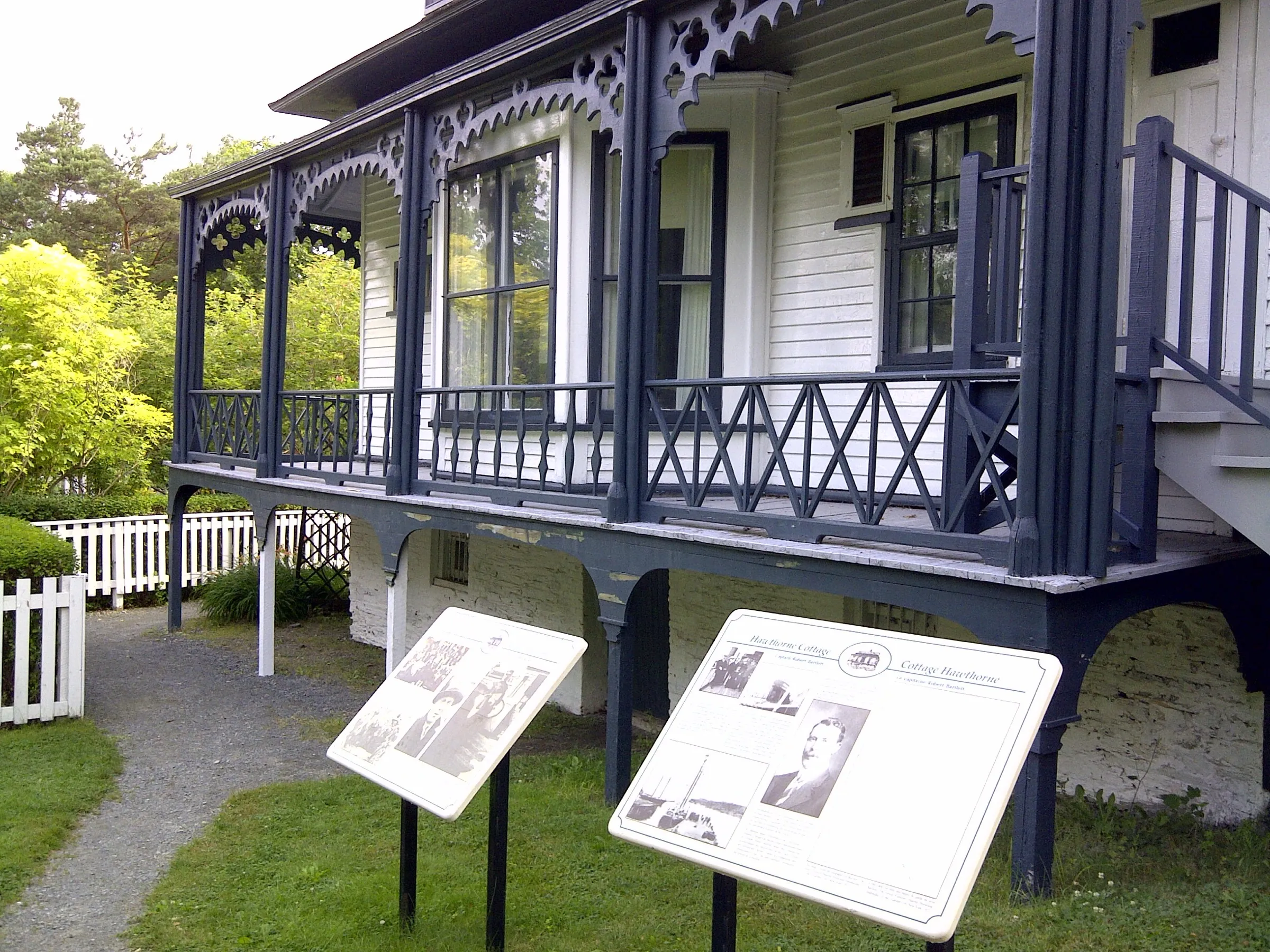
Gander airport to Dover is 73 km northeast via Routes 1 and 320 to the mapped fault line where two ancient continents meet.
 Skeezix1000 · CC BY-SA 3.0
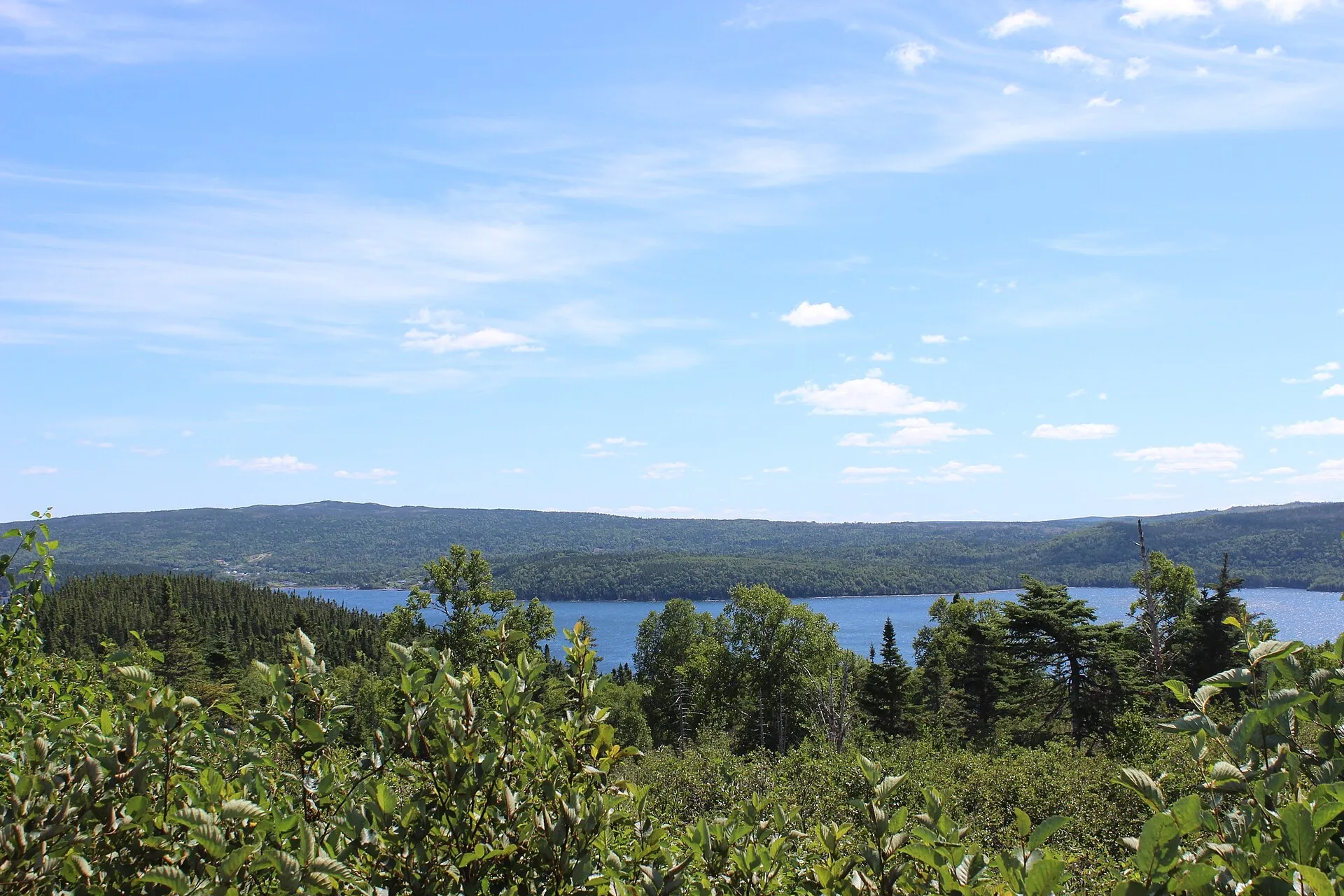
Brigus
75 km · from St. John's
St. John's Airport to Brigus is 75 km on Routes 40, 1, 2 and 60 — a short Avalon drive to a National Historic Site town.
 rcheng30 · CC BY-SA 4.0
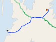
Terra Nova
78 km · from Gander
A national park 77.8 km from Gander, straight down the Trans-Canada, with no ferry and no season to plan around.
 route map
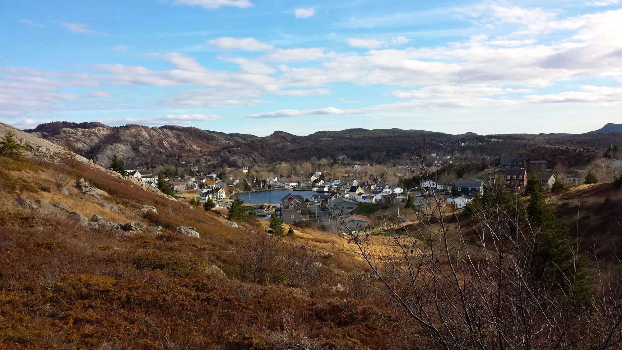
Clarke's Beach
78 km · from Argentia
Clarke's Beach is 77.9 km from the Argentia ferry by road, on Routes 1, 71 and 70. The closer of the two ferries.
 Grazioso2 · CC BY-SA 4.0
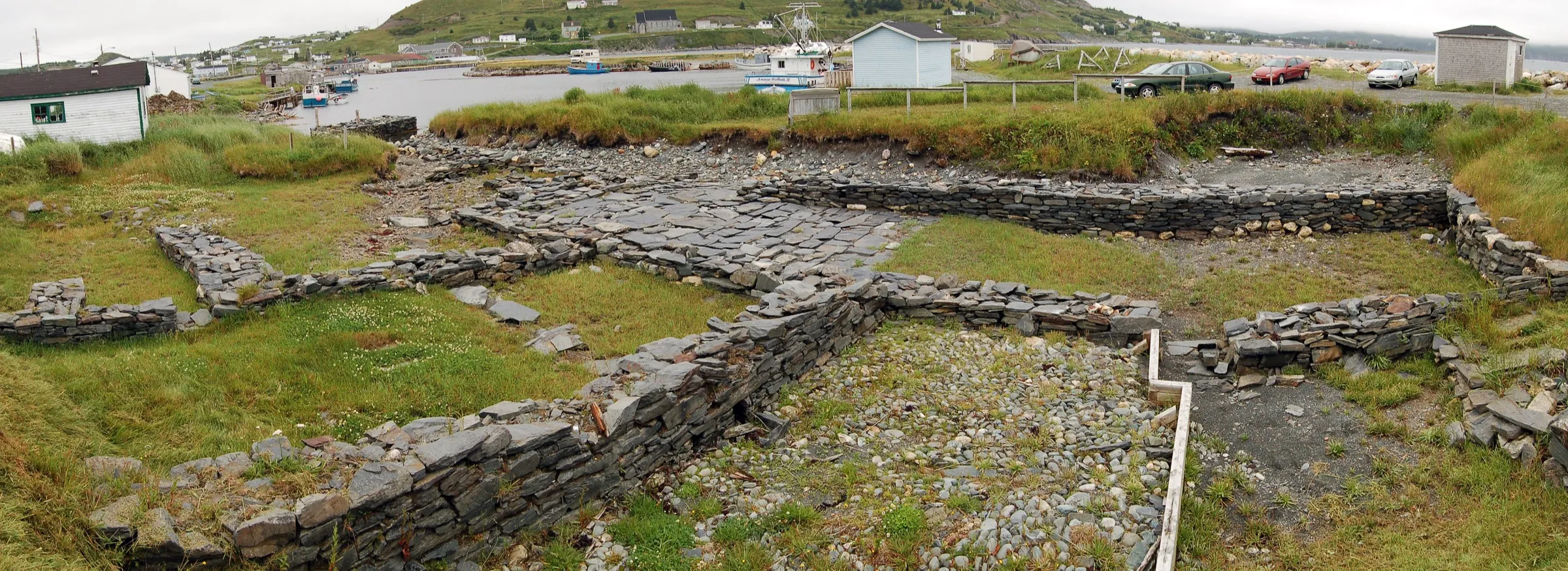
Brigus
78 km · from Argentia
Argentia to Brigus is 78 km on Routes 1, 71, 70 and 60 — to the Conception Bay town where Bob Bartlett's family home still stands.
 Nilfanion · CC BY-SA 4.0
Ferryland
86 km · from St. John's
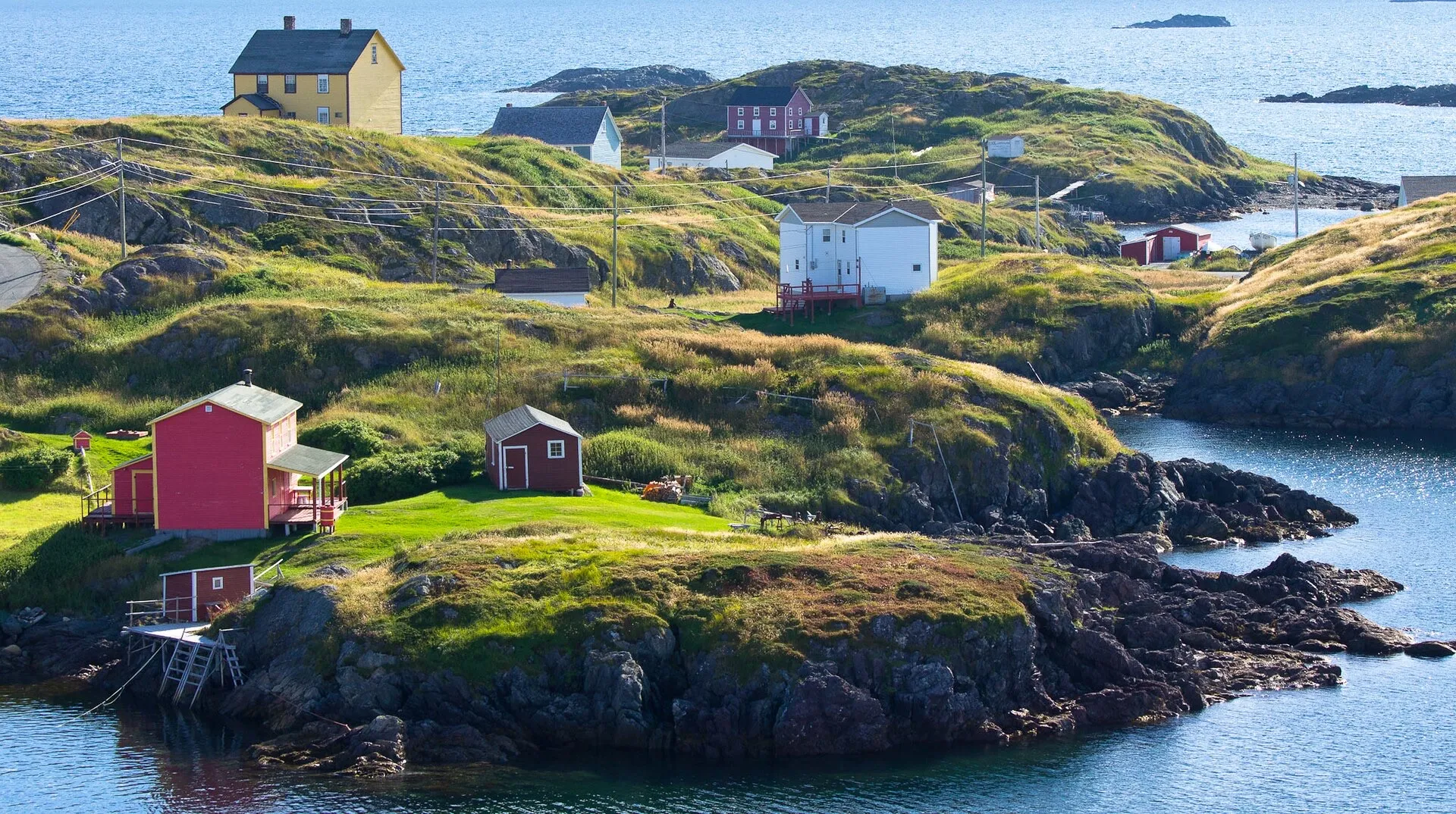
St. John's airport to Ferryland: 86 km, on Routes 40, 2, 3 and 10 down the Irish Loop to the Colony of Avalon.
 Stephen Booth · CC0 1.0
Change Islands
86 km + ferry · from Gander
Same drive as the Fogo run, 86 km to the Farewell ferry, but you get off at the first stop instead of the second.
 route map
Clarke's Beach
88 km · from St. John's
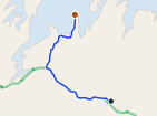
Clarke's Beach is 87.9 km from St. John's airport by road, on Routes 40, 1, 75 and 70.
 route map
Comfort Cove-Newstead
91 km · from Gander
You land at Gander and Comfort Cove-Newstead is 90.7 km away: the Trans-Canada west, Route 340 north, then Route 343 to the Bay of Exploits.
 Mike from Vancouver, Canada · CC BY-SA 2.0
Botwood
92 km · from Gander
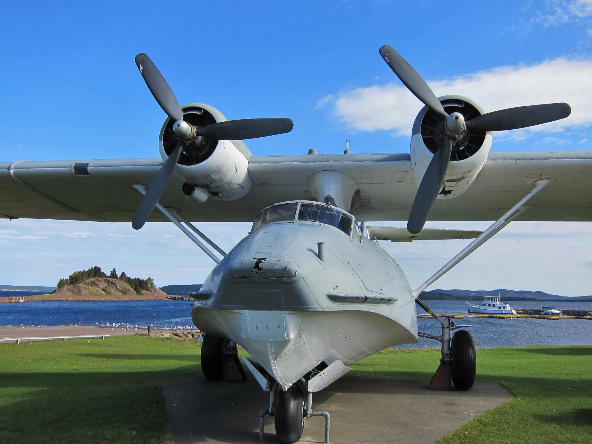
92.1 km to the town where the transatlantic flying boats landed, the other half of Gander's aviation story.
 Slickricksweet16 · CC BY-SA 3.0
Musgrave Harbour
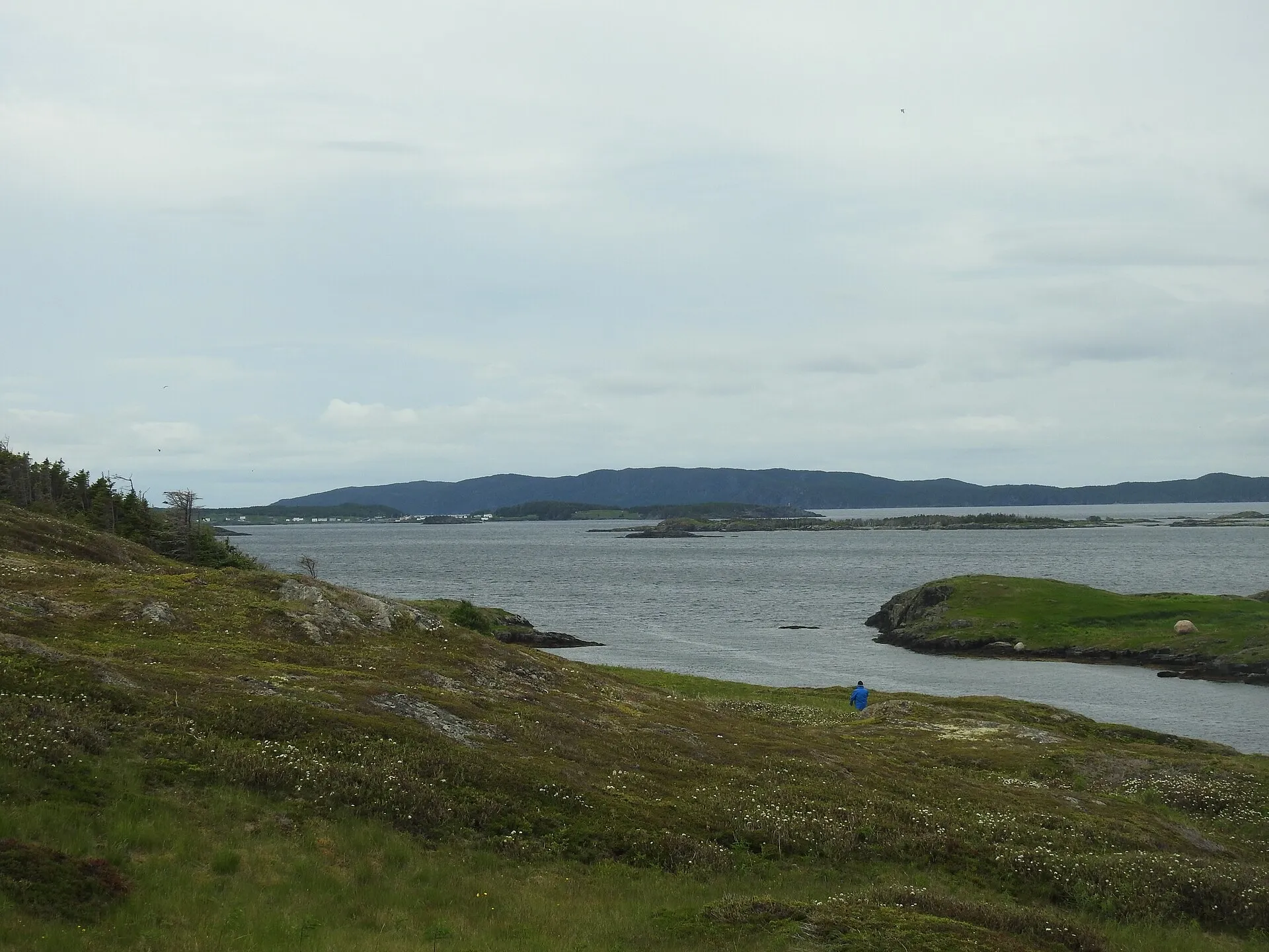
93 km · from Gander
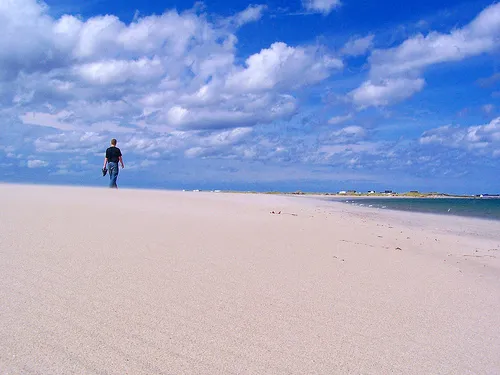
You land at Gander and the Straight Shore is 93 km northeast on Route 330, one road, with kilometres of mapped beach at the end.
 Coolheatmike · CC BY-SA 4.0
St. Brendan's
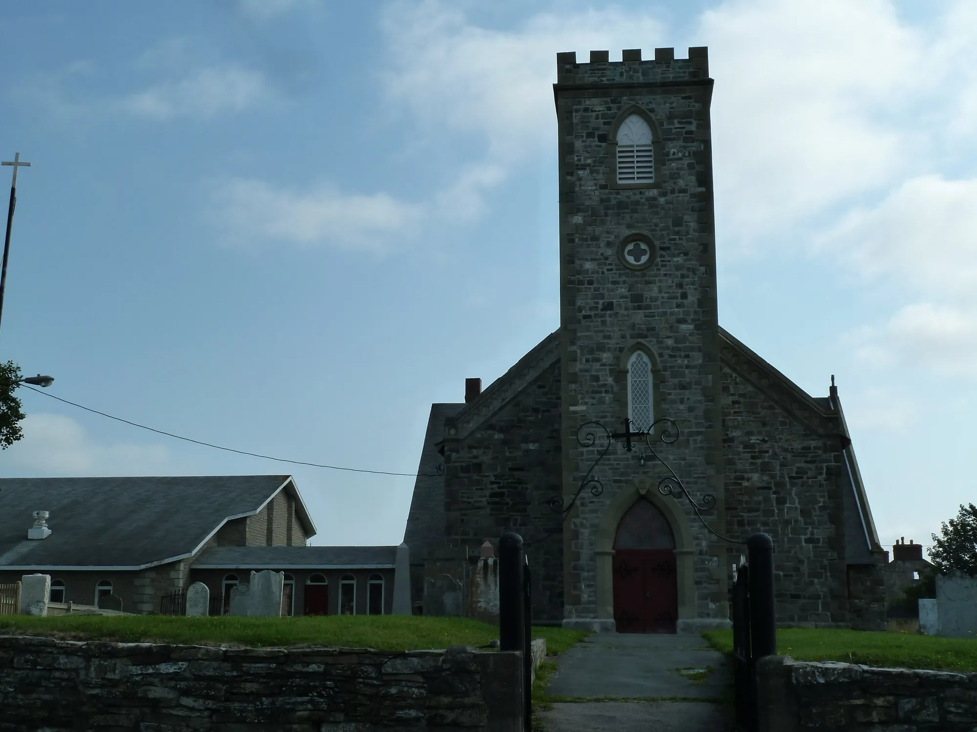
94 km + ferry · from Gander
94.3 km to the Burnside wharf — nearer than Twillingate — then an hour on the water to an island almost nobody plans for.
 Robthepiper · CC BY-SA 3.0
Harbour Grace
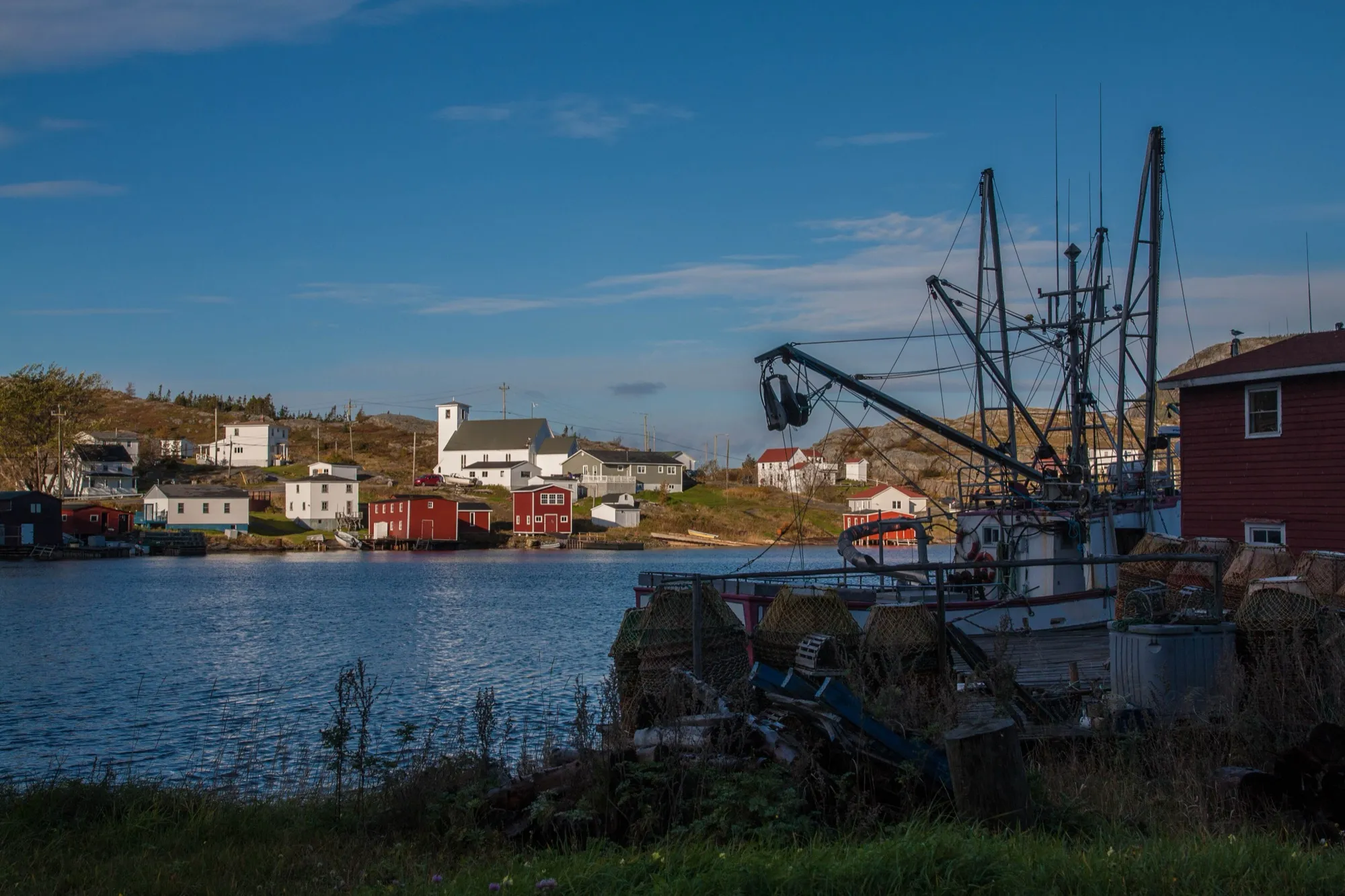
96 km · from Argentia
Argentia to Harbour Grace is 96.2 km on Routes 1, 71, 75 and 70, nearer than the drive from the St. John's airport.
 Maciej · CC BY-SA 2.0
Salvage
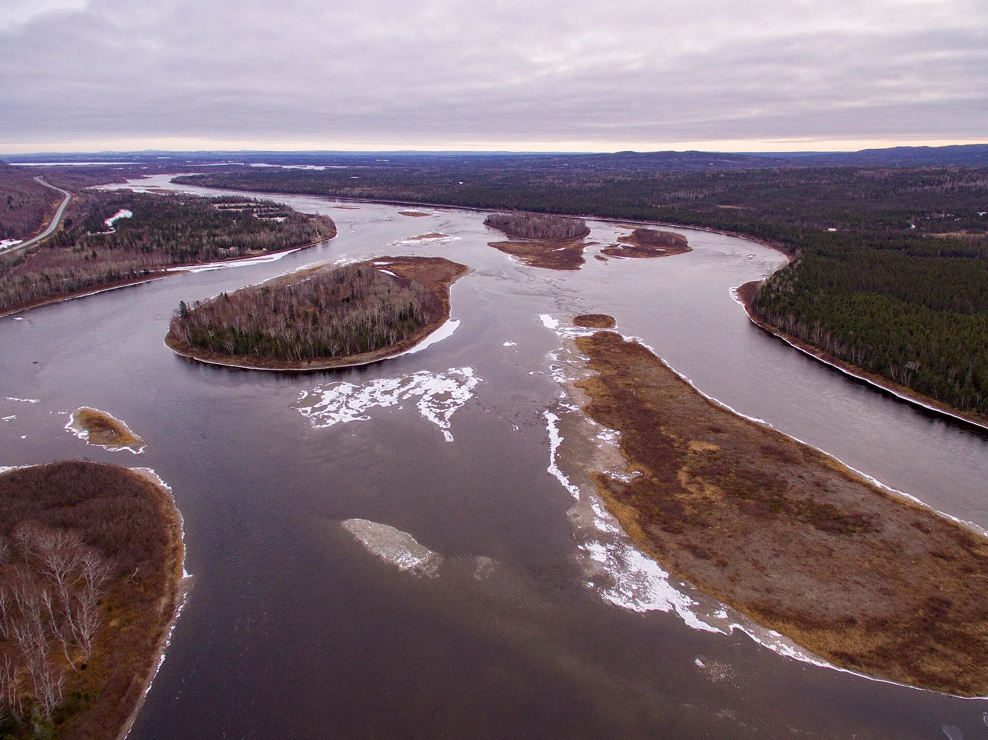
97 km · from Gander
You land at Gander and Salvage is 97 km southeast via Routes 1 and 310, through the Eastport beaches to one of the oldest fishing villages on the coast.
 Shhewitt · CC BY-SA 4.0
Grand Falls-Windsor
98 km · from Gander
98.3 km straight down the Trans-Canada — the largest town between Gander and Deer Lake, and the one with everything open.
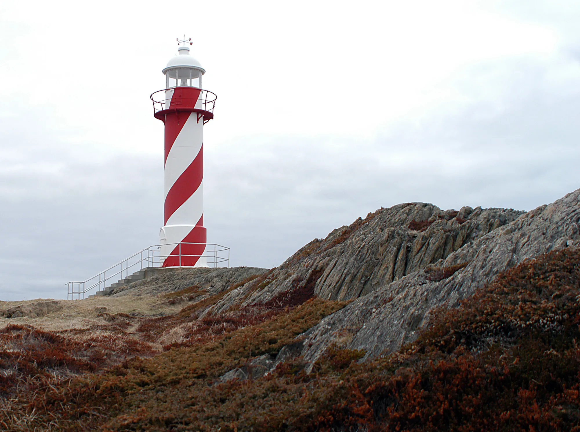 Joanna Poe from Munith, MI, USA · CC BY-SA 2.0
Heart's Content
107 km · from Argentia
Argentia to Heart's Content is 106.5 km on Routes 1, 81 and 80 — to the shore where the first lasting transatlantic cable came in.
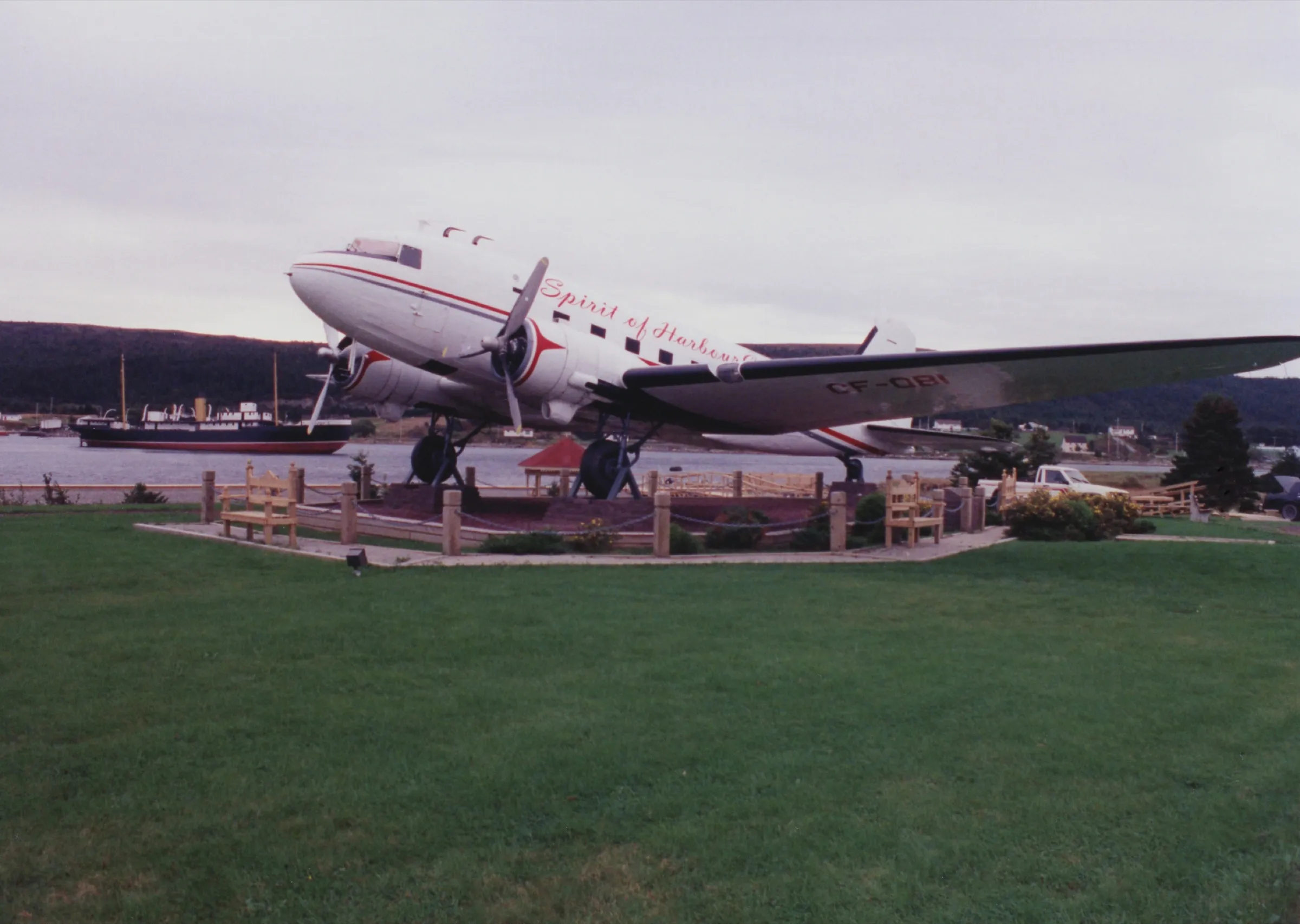 A J Butler · CC BY 3.0
Harbour Grace
108 km · from St. John's
The drive from St. John's airport to Harbour Grace is 107.5 km on Routes 40, 1, 75 and 70 around Conception Bay.
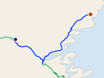 route map
New-Wes-Valley
119 km · from Gander
You land at Gander and New-Wes-Valley is 119 km northeast via Routes 1 and 320 to Wesleyville's amalgamated coast, with the Newtown spur beyond.
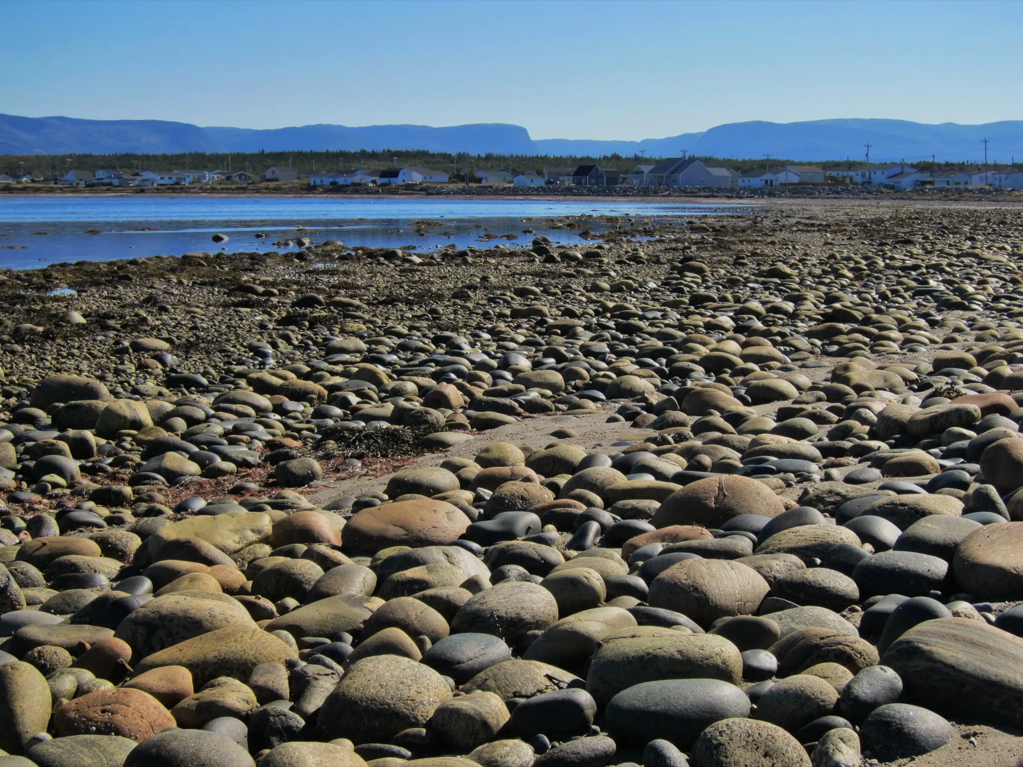 Mike from Vancouver, Canada · CC BY-SA 2.0
Cow Head
119 km · from Deer Lake
Deer Lake airport to Cow Head is 119 km north, up Route 430 through Gros Morne to the park's quieter northern shore and Shallow Bay's sand.
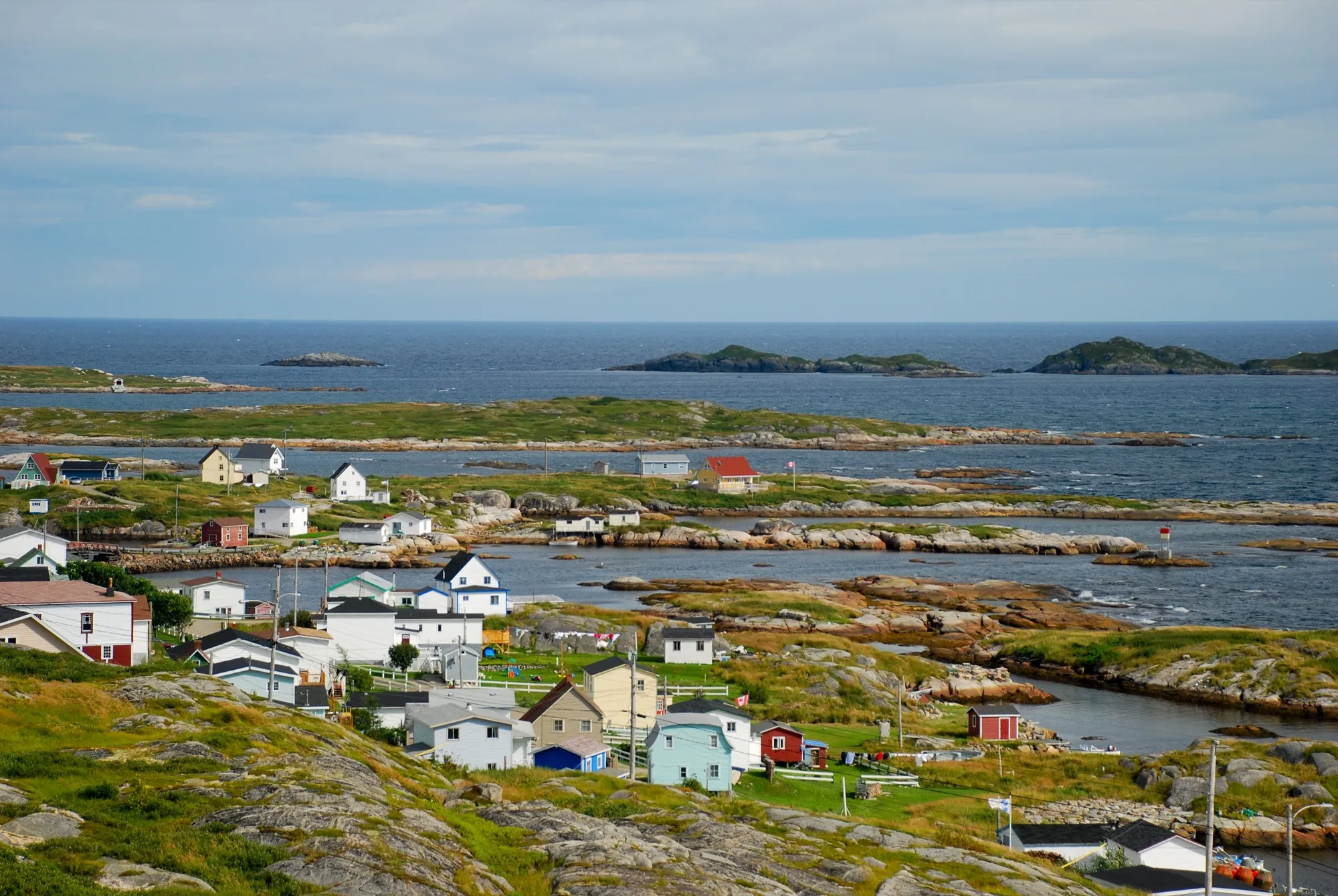 Johnathan Nightingale · CC BY-SA 3.0
Greenspond
124 km · from Gander
You land at Gander and Greenspond is 124 km northeast via Routes 1 and 320 to an island outport joined to the coast by causeway.
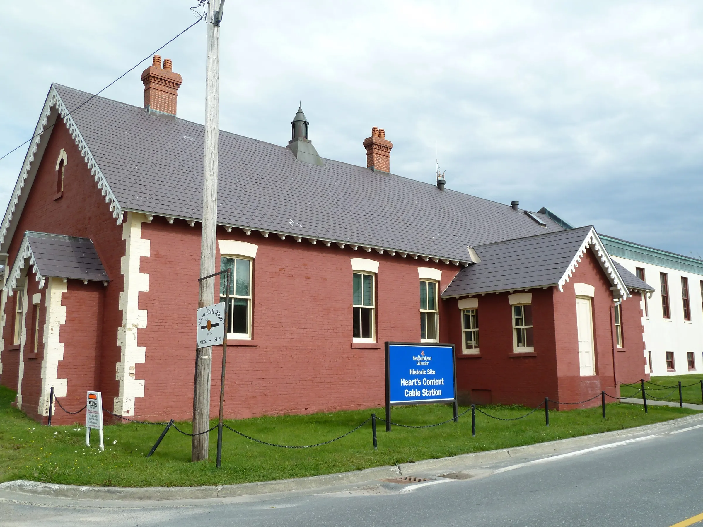 Robthepiper · CC BY-SA 3.0
Heart's Content
132 km · from St. John's
Heart's Content is 132 km from St. John's Airport, via the Trans-Canada then Routes 75, 70, 74 and 80 up the west side of Conception Bay.
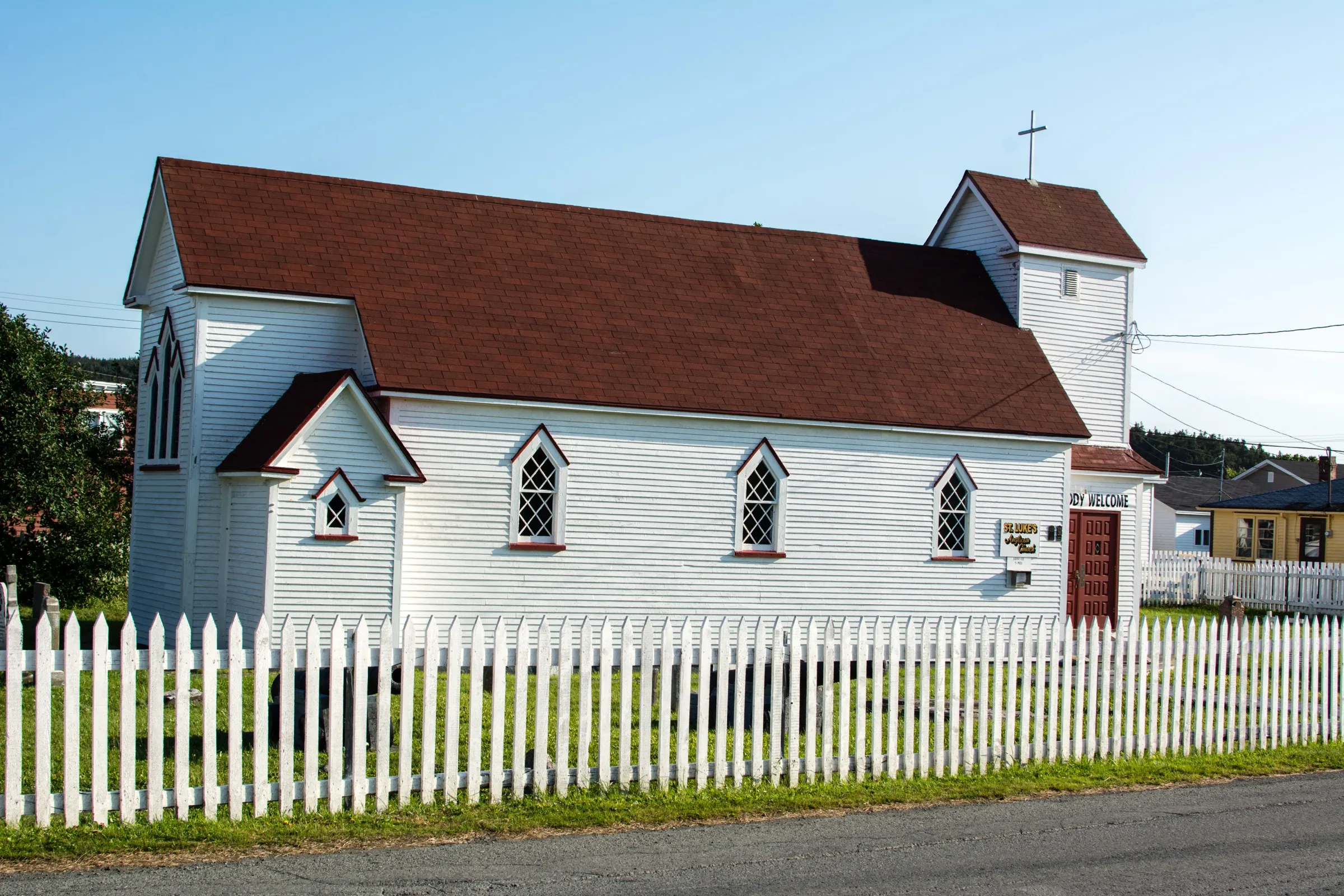 Jeremy Thoms Hetzel · CC BY-SA 3.0
Placentia
132 km · from St. John's
St. John's Airport to Placentia is 132 km, on Routes 40, 1 and 100, to the old French and English capital of Newfoundland.
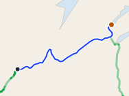 route map
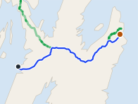
King's Point
133 km · from Deer Lake
132.7 km from Deer Lake, only a little nearer than Gander. The coast's best-known trail is here.
 route map
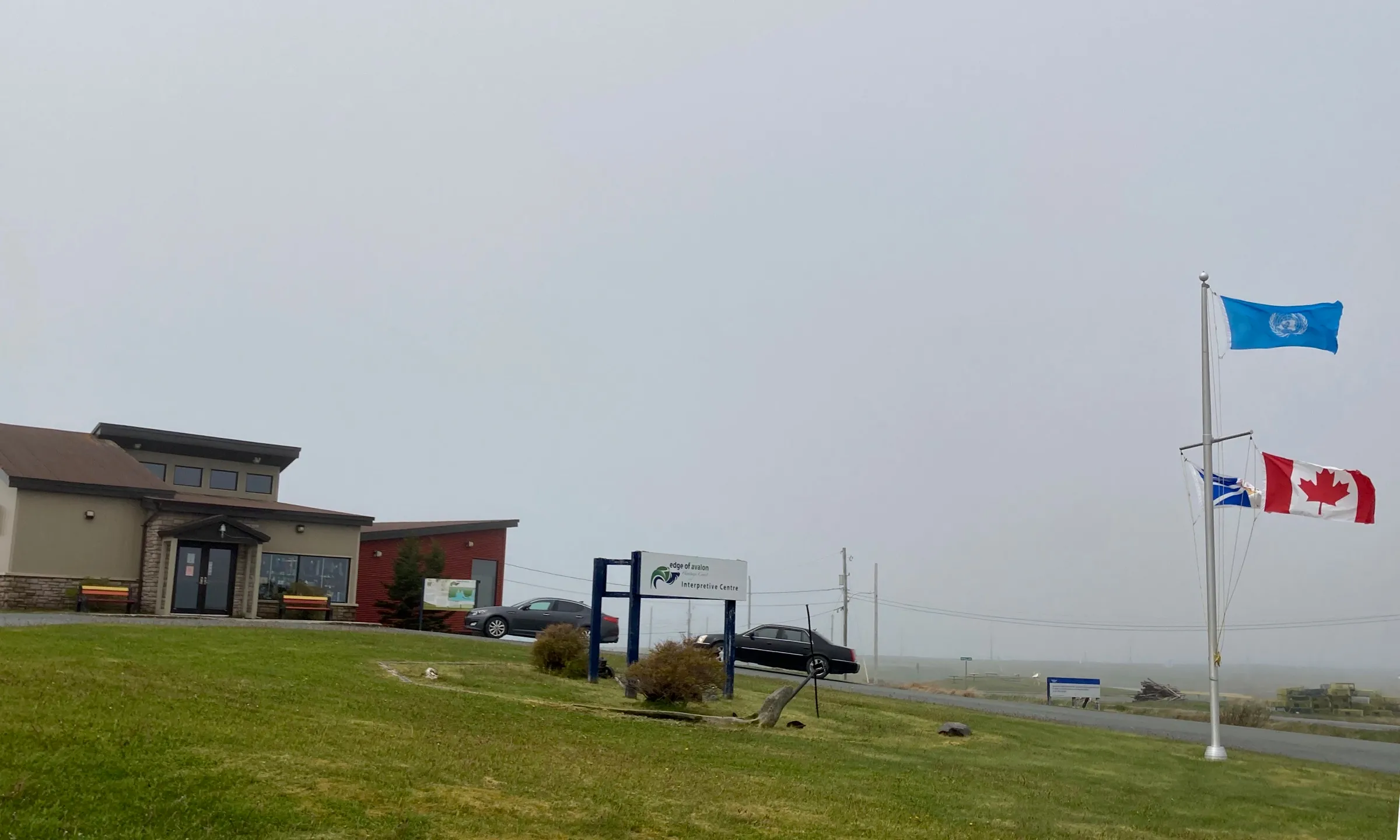
St. John's
133 km · from Argentia
St. John's is 132.8 km from the Argentia ferry by road, on Routes 1 and 2. The closer of the two ferries.
 Tracyanne · CC BY-SA 4.0
Mistaken Point
144 km · from St. John's
St. John's airport to Mistaken Point is 144 km, on Routes 40, 2, 3 and 10 — the last of them the Irish Loop Drive.
 Rioux Photography Edmonton, AB · Public domain (PD-user)
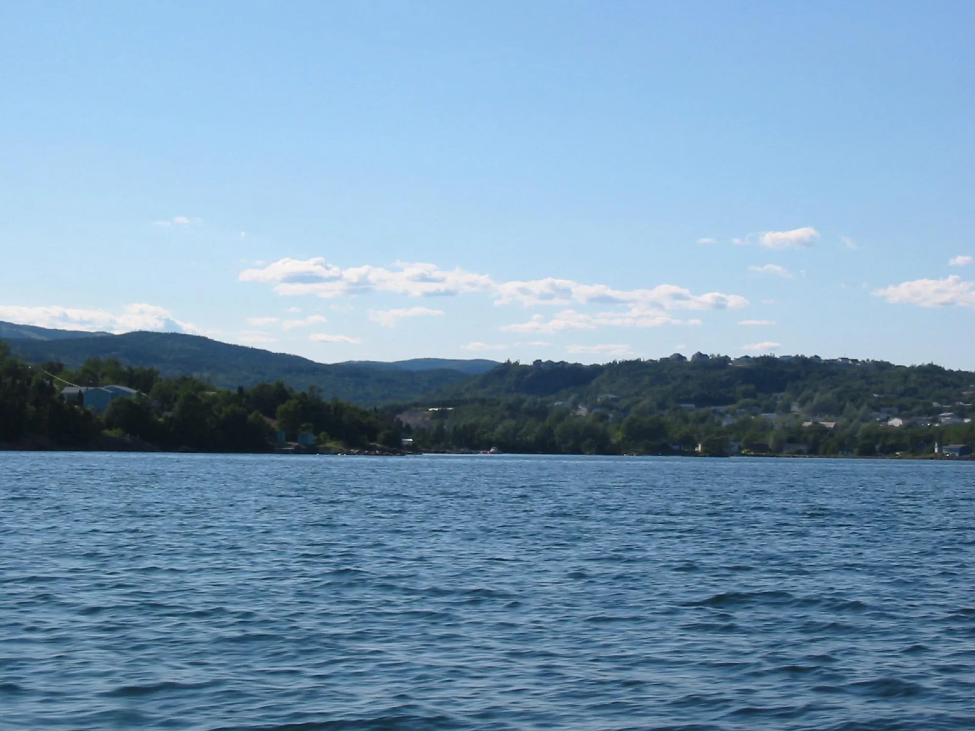
Clarenville
147 km · from Gander
Clarenville is 147 km from Gander on Routes 330 and 1 — Gander is the closest of the three airport doors.
 Andrew8675309 · CC BY 3.0
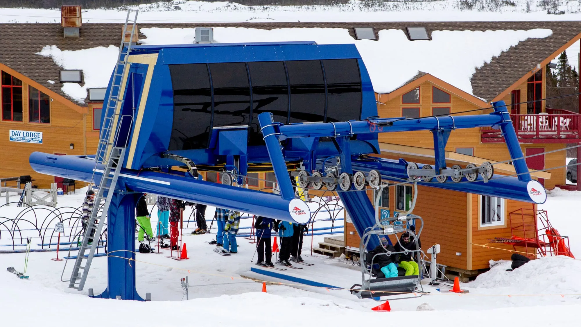
White Hills
148 km · from Gander
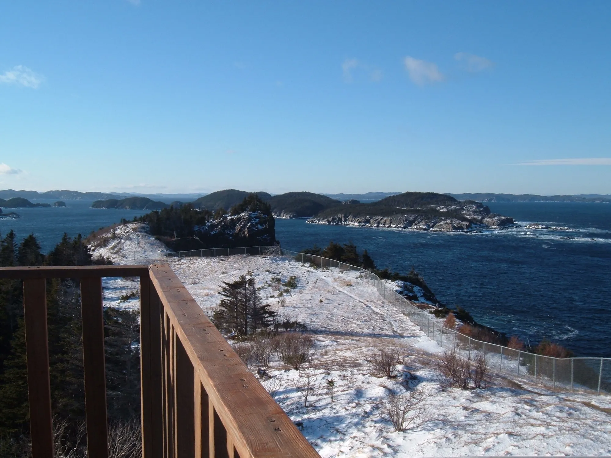
Gander to the White Hills ski resort at Clarenville: 148 km on the Trans-Canada, and the nearest airport door to the hill.
 Kevin Kaior · Public domain (PD-user)
Leading Tickles
148 km · from Gander
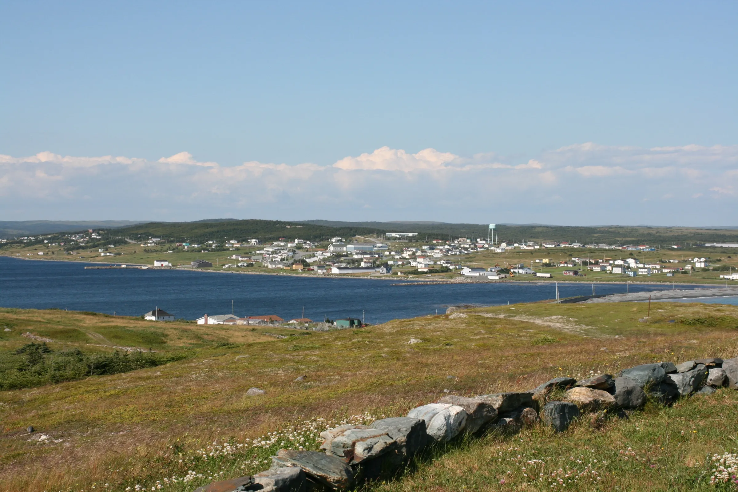
You land at Gander and Leading Tickles is 148 km northwest on the Trans-Canada and Route 350, up the peninsula that walls the Bay of Exploits.
 M.McConnell · CC BY-SA 3.0
Trepassey
156 km · from St. John's
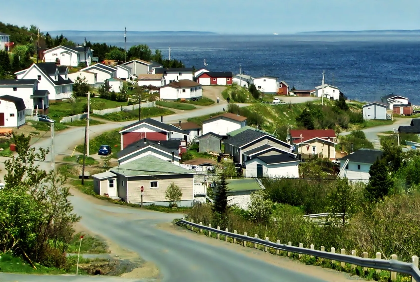
Trepassey is 155.9 km south of St. John's Airport: Routes 40, 2 and 3 out of the city, then Route 10, the Irish Loop Drive.
 Lucia (via Flickr) · CC0 1.0
Baie Verte
159 km · from Deer Lake
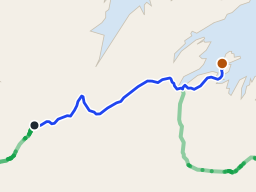
Baie Verte is 159 km from Deer Lake on the Trans-Canada and Route 410, and closer from Deer Lake than from Gander.
 route map
Long Island
171 km + ferry · from Deer Lake
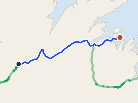
171 km from Deer Lake to the Pilley's Island wharf, then a short crossing to Long Island on a sixteen-car boat.
 route map
Triton
175 km · from Deer Lake
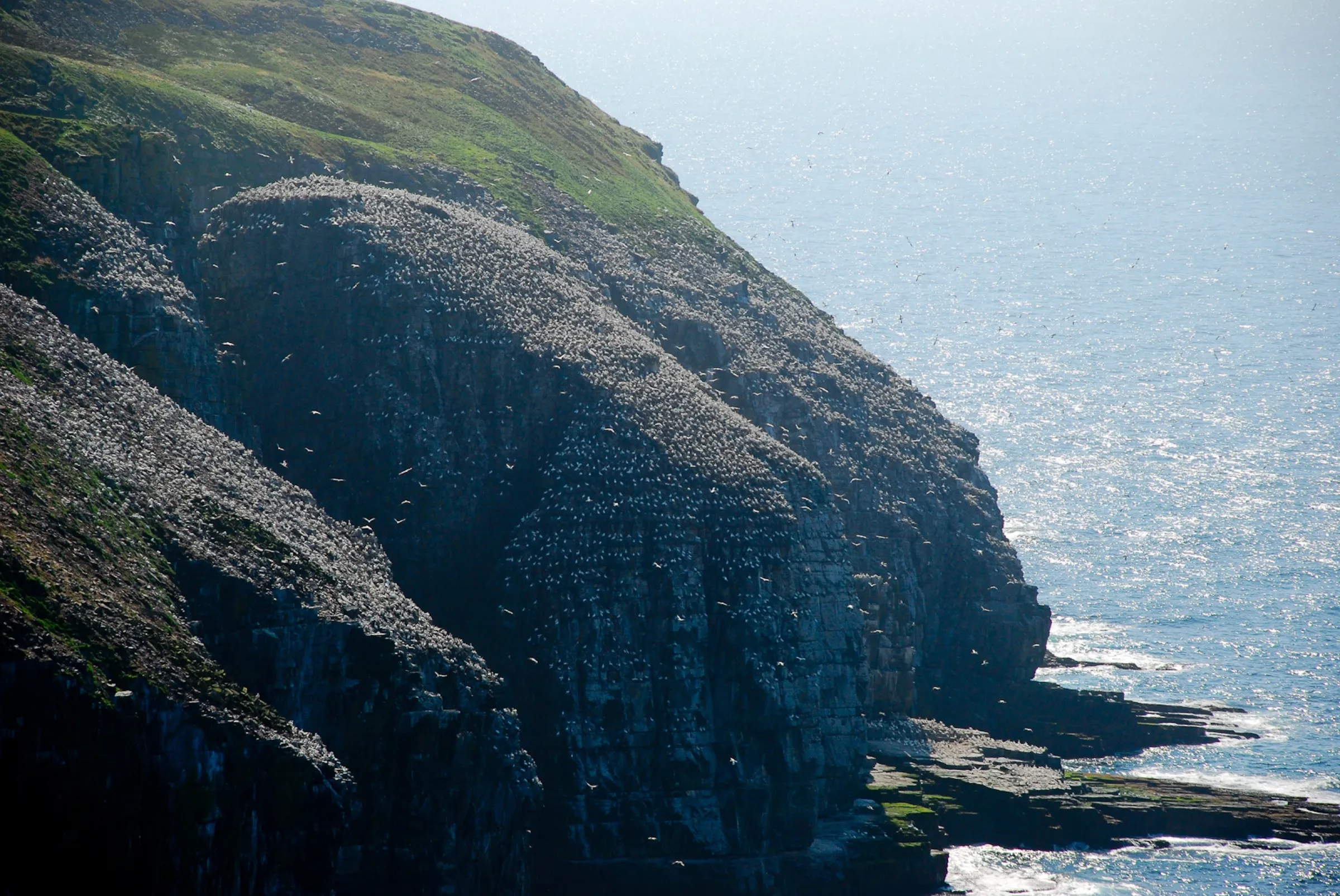
Deer Lake airport to Triton is 175 km northeast on the Trans-Canada and Route 380, island-hopping by causeway into the middle of Green Bay.
 Johnath · CC BY-SA 3.0
Cape St. Mary's Ecological Reserve
177 km · from St. John's
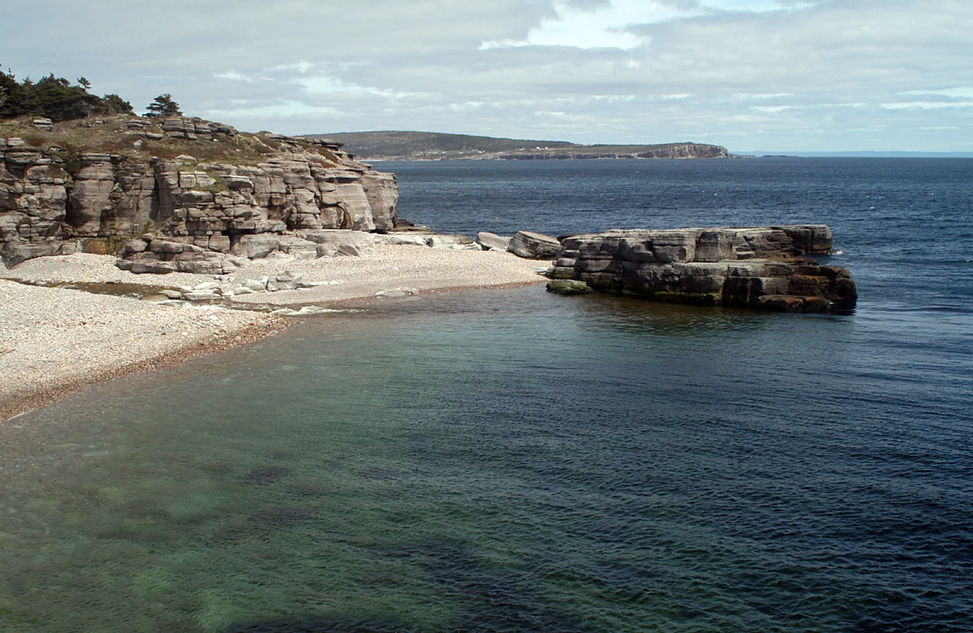
Cape St. Mary's is 176 km southwest of St. John's airport: Route 40 to the Trans-Canada, then 90, 91, 92 and 100 down the Cape Shore.
 Joanna Poe from Munith, MI, USA · CC BY-SA 2.0
Cape St. George
188 km · from Deer Lake
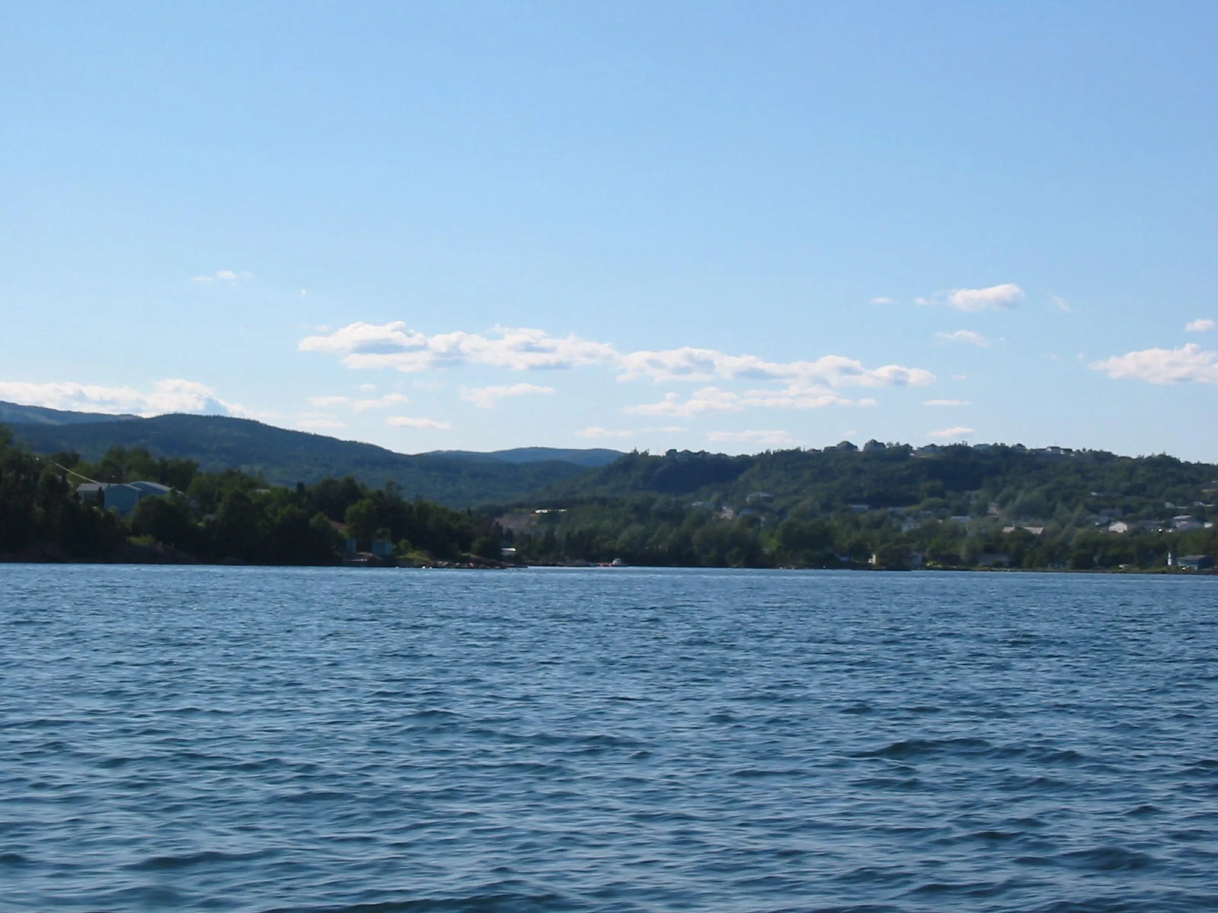
You land at Deer Lake and Cape St. George is 188 km southwest, through Stephenville to the island's French Shore, where Newfoundland speaks French and the cliffs face Quebec.
 Rioux Photography Edmonton, AB · Public domain (PD-user)
Clarenville
191 km · from St. John's
From St. John's Airport, Clarenville is 191 km on Route 40 then the Trans-Canada (Route 1) — Gander is the closer airport.
 Quintin Soloviev · CC BY 4.0
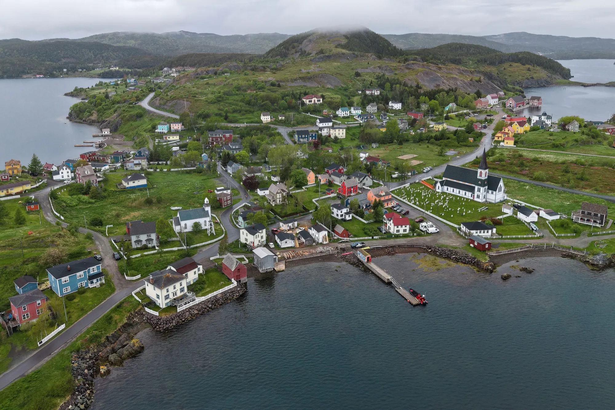
Trinity (Trinity Bay)
200 km · from Gander
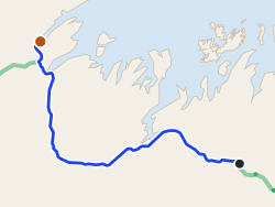
You land at Gander and Trinity is 200 km southeast via Routes 1, 230 and 239 to the saltbox town everyone tells you to see.
 route map
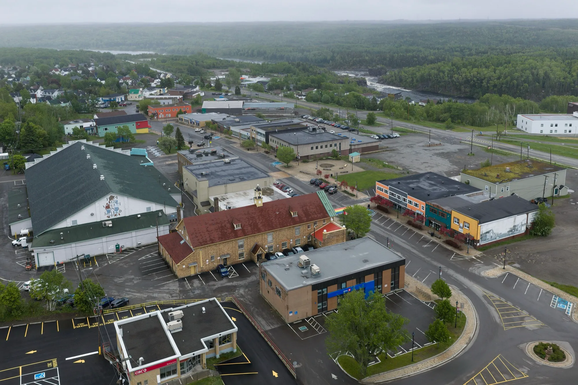
King's Point
207 km · from Gander
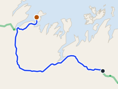
King's Point is 207 km from Gander via the Trans-Canada (1) and Routes 390 and 391 to Green Bay.
 Quintin Soloviev · CC BY 4.0
Grand Falls-Windsor
213 km · from Deer Lake
212.8 km east on the Trans-Canada (Route 1). Gander is far closer for this town.
 route map
Pilley's Island
220 km · from Gander
220 km from Gander to the Pilley's Island ferry terminal, via the Trans-Canada and Routes 380 and 382.
- ParsonsPhotographyNL · CC BY-SA 4.0
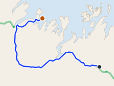
Corner Brook
222 km · from Port aux Basques
Off the boat at Port aux Basques, Corner Brook is 222 km up the Trans-Canada and Route 450A, past Wreckhouse and the Codroy Valley.
 route map
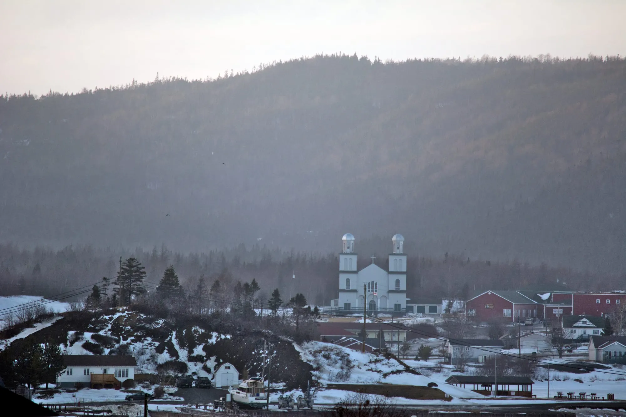
Triton
224 km · from Gander
Triton is 224 km from Gander airport, west on the Trans-Canada (Route 1) then north on Route 380.
 Clif Budden · CC BY 2.0
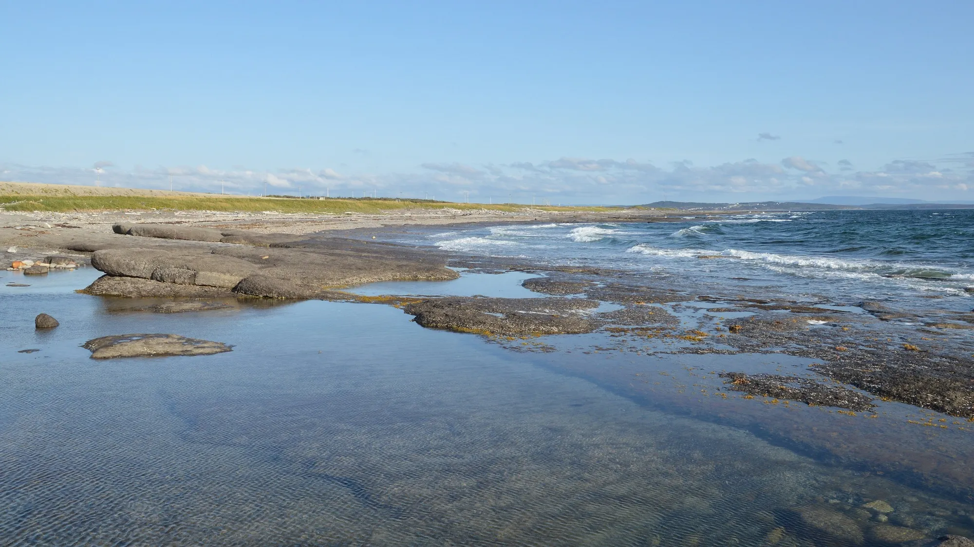
St. Alban's
235 km · from Gander
You land at Gander and the south coast is 235 km away on the Trans-Canada and Route 360, the long road to Bay d'Espoir on the south coast.
 Ryan Hodnett · CC BY-SA 4.0
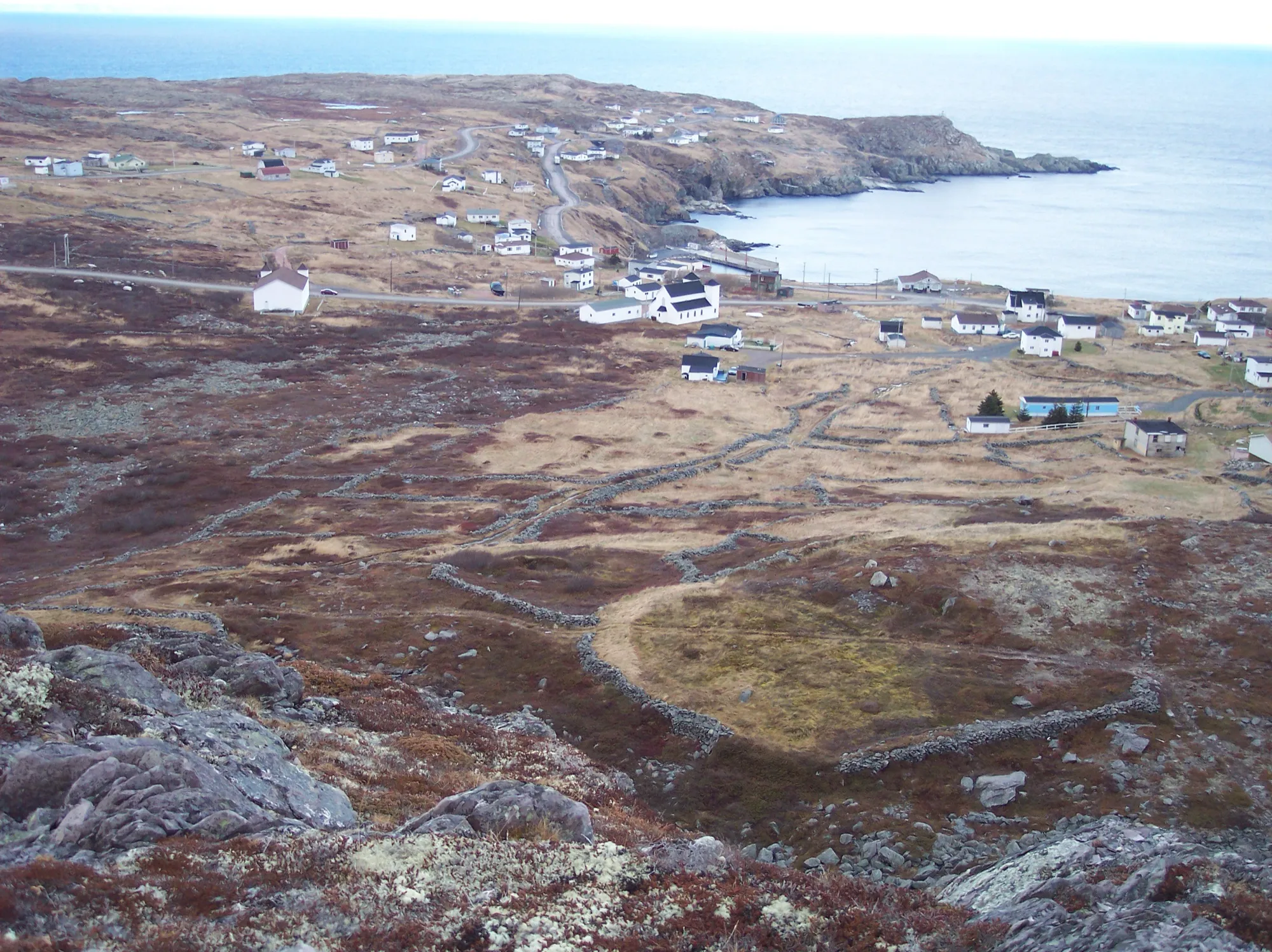
Port au Choix
236 km · from Deer Lake
You land at Deer Lake and Port au Choix is 236 km north, up the Viking Trail to six thousand years of archaeology on one limestone point — with The Arches' sea-carved rock on the way.
 Sgriffin241 (English Wikipedia) · Public domain (PD-author)
Baccalieu Coastal Drive
239 km
The Baccalieu Coastal Drive measured as a circuit: 238.5 km from Whitbourne around the peninsula between Trinity and Conception Bays.
- Mike from Vancouver, Canada · CC BY-SA 2.0
Botwood
244 km · from Deer Lake
Botwood sits across the island from Deer Lake, 244 km east on the Trans-Canada, then Route 350 north. From Gander it is far closer.
 ErixS · CC BY-SA 3.0
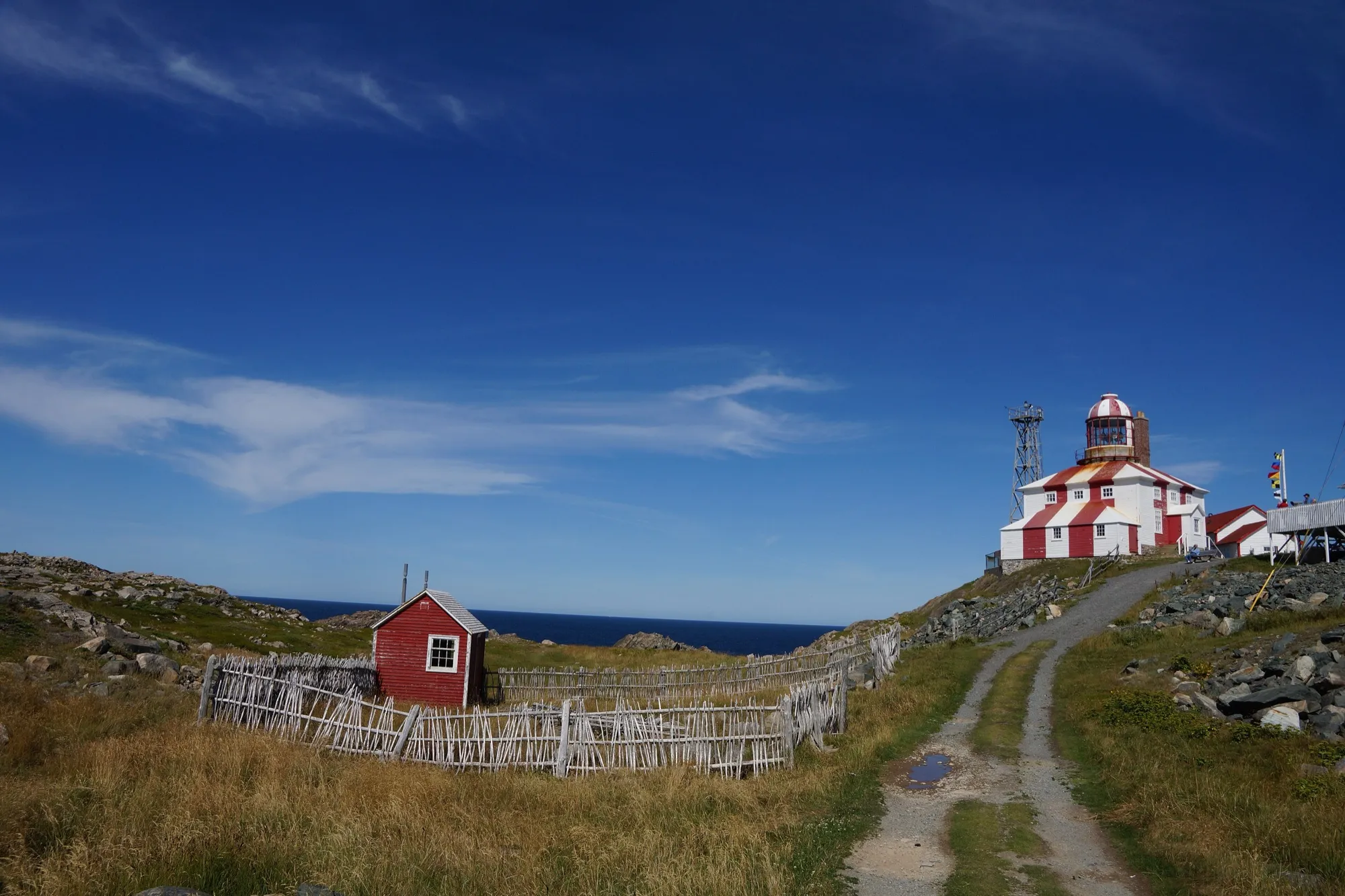
Cape Bonavista
248 km · from Gander
Gander airport to Cape Bonavista is 248 km east, to the lighthouse at the end of the road, with puffins, the Dungeon and five centuries of history on the way.
 Ken Eckert · CC BY-SA 4.0
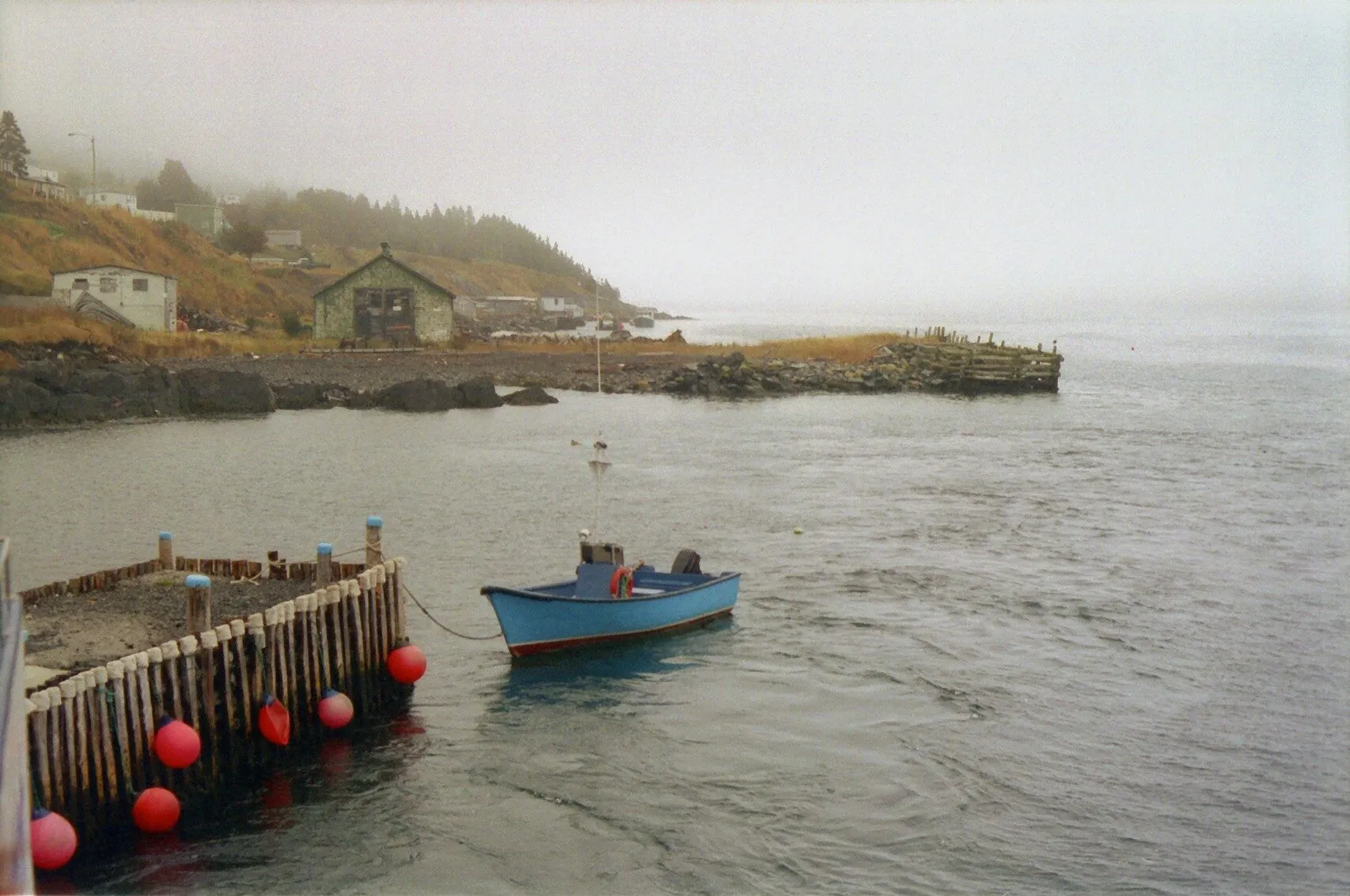
Below filming locations
249 km · from St. John's
Every spot where Netflix filmed Below: six on the Avalon in one 249.2 km loop from St. John's airport, and Twillingate from Gander.
 ParsonsPhotographyNL · CC BY-SA 4.0
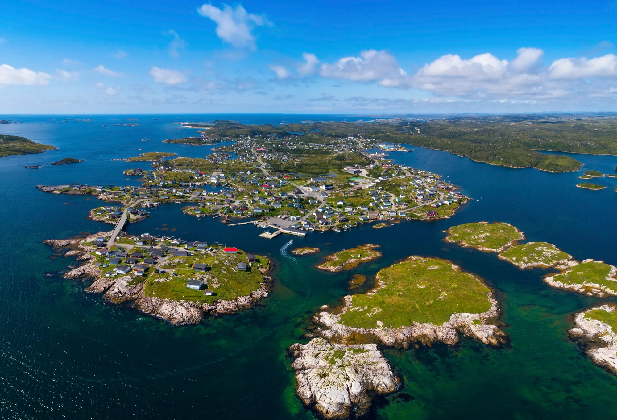
Burgeo
266 km + ferry · from Deer Lake
Deer Lake airport to Burgeo is 266 km south, most of it Route 480 through empty country, ending at the Sandbanks' long beaches.
 D. Gordon E. Robertson · CC BY-SA 3.0
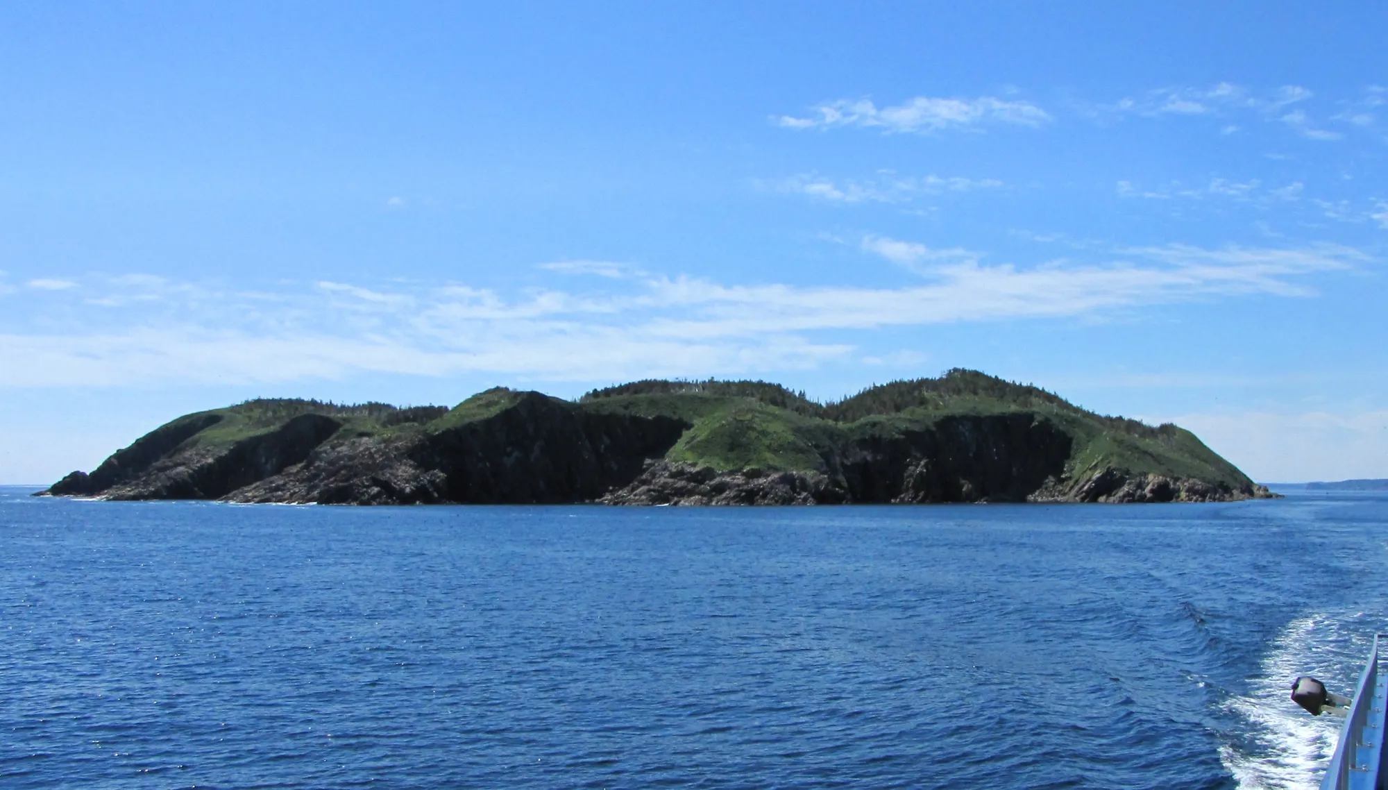
Irish Loop
266 km
The Irish Loop measured as a circuit: 266.3 km from Bay Bulls round the southern Avalon by Routes 10 and 90, and back.
- Shhewitt · CC BY-SA 4.0
Lewisporte & Twillingate loop
269 km · from Gander
Gander airport round by Lewisporte and Twillingate and home by Gander Bay: 269.3 km of driving on the Trans-Canada, Route 340 and Routes 331 and 330.
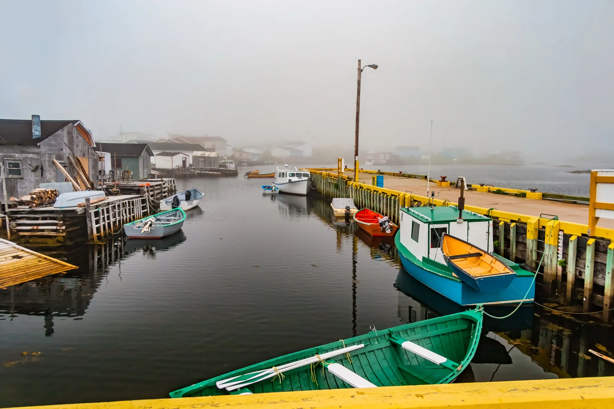 Michel Rathwell from Cornwall, Canada · CC BY 2.0
Port aux Basques
271 km + ferry · from Deer Lake
You land at Deer Lake and Port aux Basques is 271 km southwest, down the whole west coast — the Codroy Valley's bird wetlands, Wreckhouse's famous wind, and the island's sea door at the end.
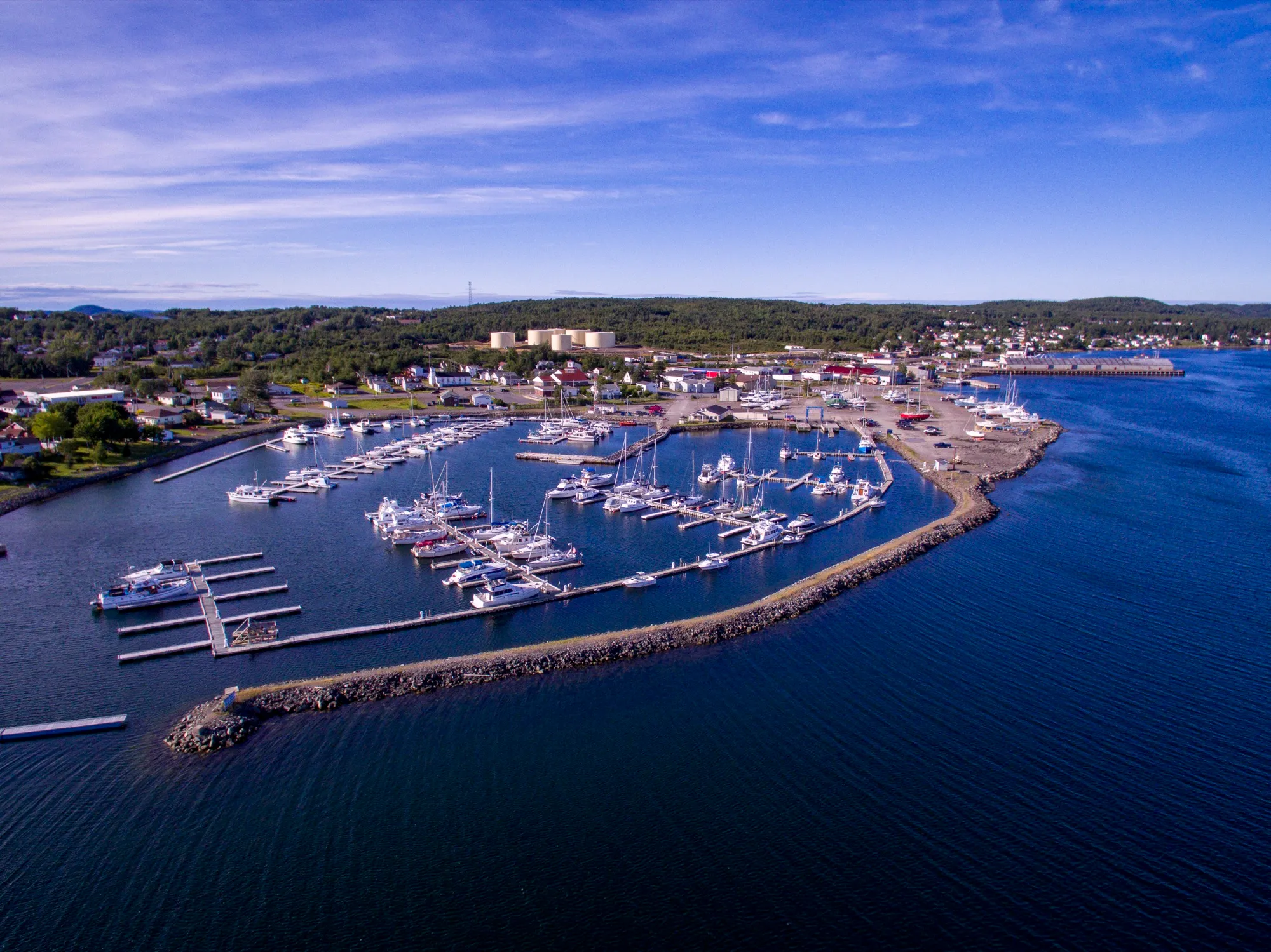 Shhewitt · CC BY-SA 4.0
Lewisporte
276 km · from Deer Lake
Lewisporte sits across the island from Deer Lake: 276 km east on the Trans-Canada, then Routes 340 and 341 north. Gander is far closer.
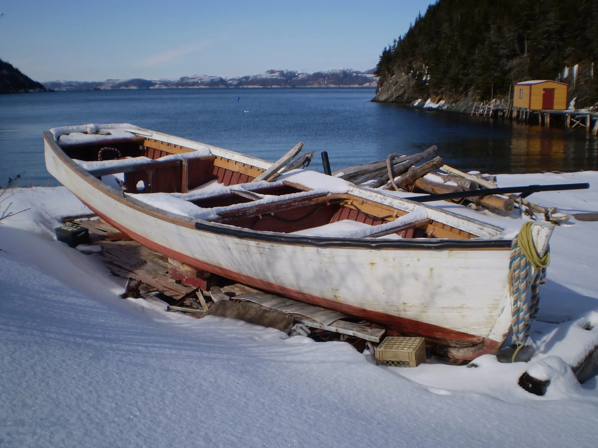 Robmul (Wikivoyage) · Public domain (PD-author)
Hermitage
276 km + ferry · from Gander
You land at Gander and Hermitage is 276 km south via Routes 1, 360 and 364 to the wharf where the Gaultois ferry crosses to a road-free outport.
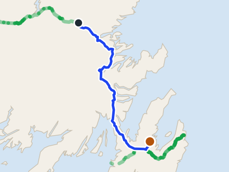 route map
Clarke's Beach
280 km · from Gander
Clarke's Beach is 279.8 km from Gander airport by road, on Routes 330, 1, 71 and 70. St. John's airport is closer.
 Aiden Mahoney · CC BY-SA 2.0
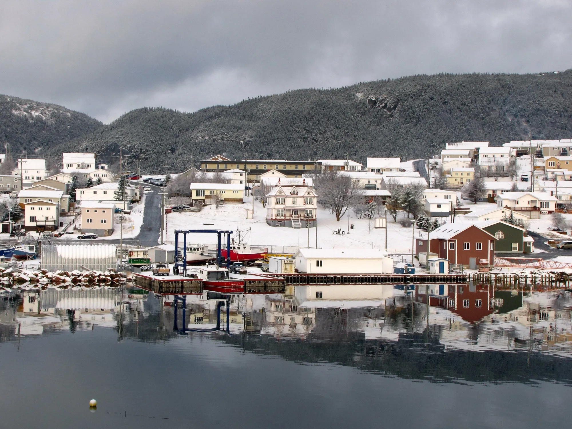
Harbour Breton
280 km · from Gander
You land at Gander and Harbour Breton is 280 km south via Routes 1 and 360, the long interior road to the Connaigre coast's principal town.
 Patrick Mueller from apex, usa · CC BY 2.0
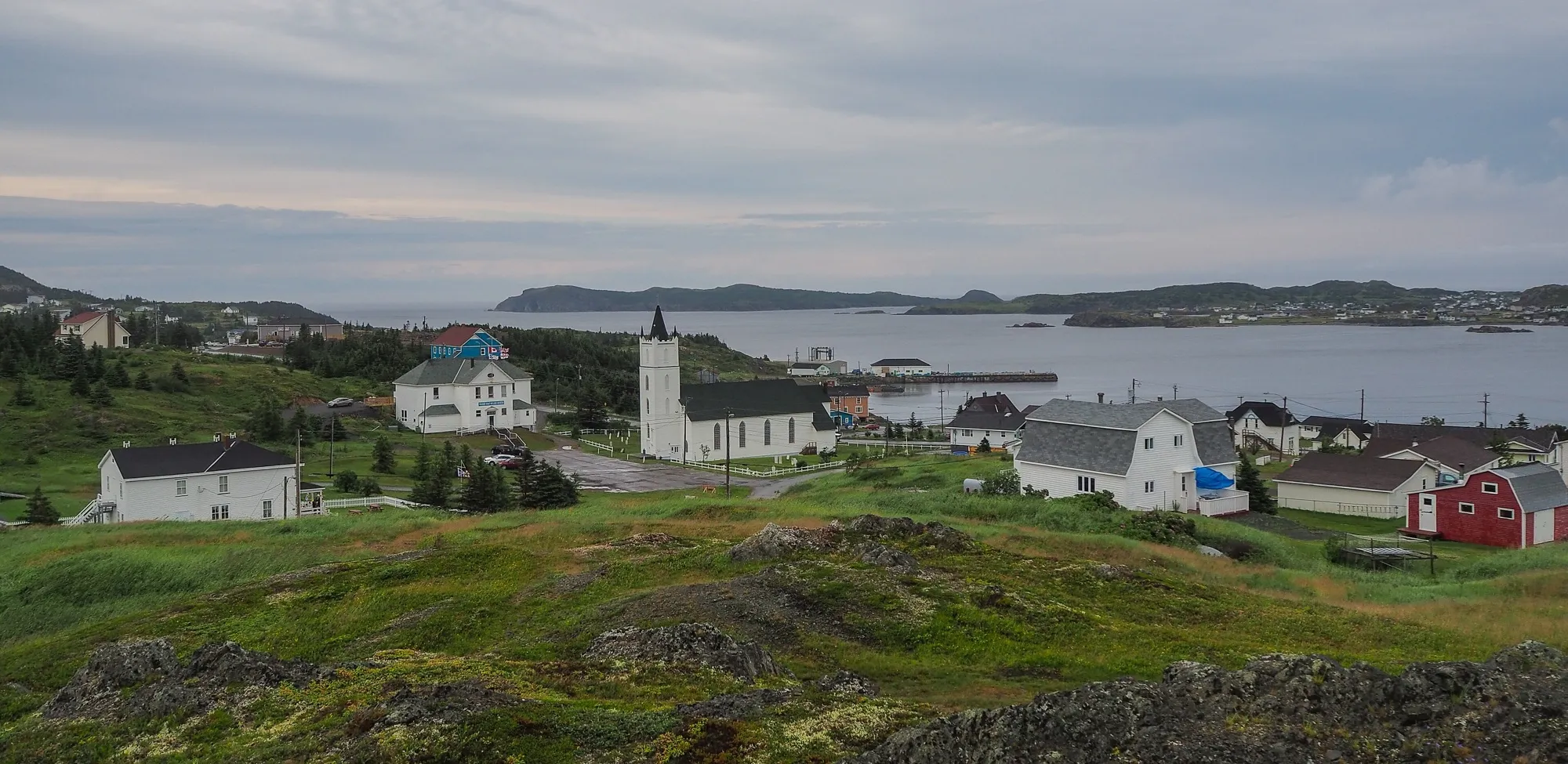
Road to the Isles
281 km
The Road to the Isles as a circle: 280.8 km from Notre Dame Junction out to Twillingate on Route 340, home by Gander Bay and Gander.
 route map
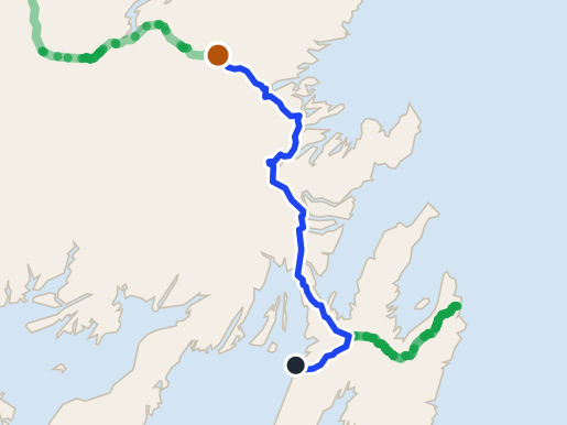
Gander
292 km · from Argentia
Gander is 292 km from the Argentia ferry by road, on Routes 1 and 330. The closer of the two ferries.
 Quintin Soloviev · CC BY 4.0
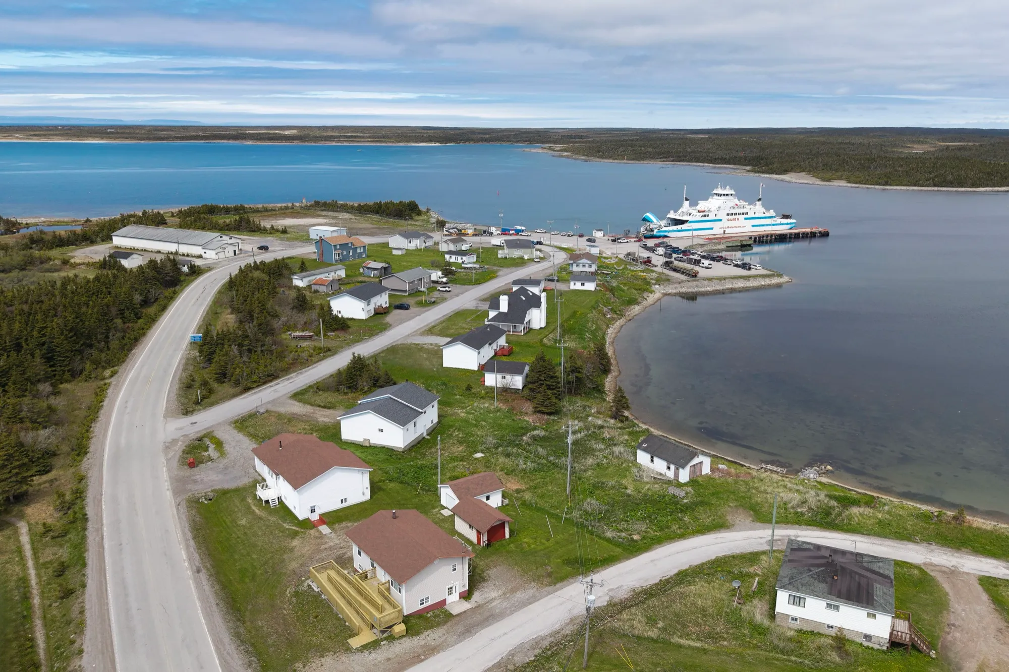
St. Barbe ferry
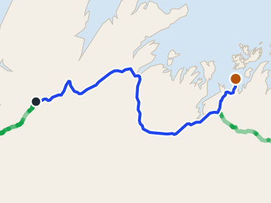
299 km + ferry · from Deer Lake
Deer Lake to the St. Barbe slip is 299 km up Route 430: the drive to the ferry for Labrador.
 route map
Comfort Cove-Newstead
303 km · from Deer Lake
Comfort Cove-Newstead is 303.3 km from Deer Lake: the Trans-Canada east across the island, then Routes 340 and 343. Gander is far closer.
- ErixS · CC BY-SA 3.0
Discovery Trail
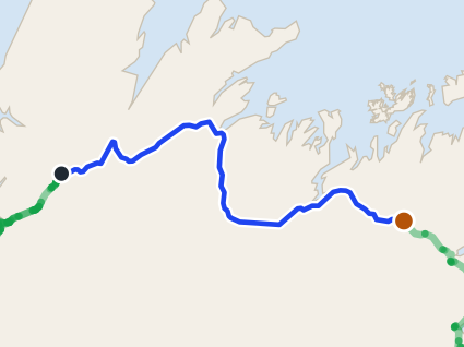
305 km
The Discovery Trail as a circle: 304.6 km from Clarenville by Trinity, Elliston and Cape Bonavista, home by Bonavista Bay and Port Blandford.
 route map
Gander
305 km · from Deer Lake
Gander is 304.8 km from Deer Lake airport by road, on Route 1. Gander airport is closer.
- Johnathan Nightingale · CC BY-SA 3.0
Road to the Shore
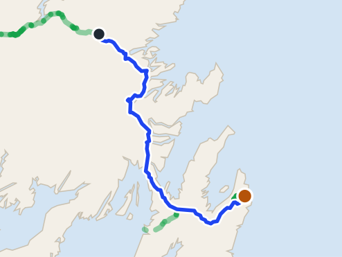
307 km
The Road to the Shore as a true circle: 307.4 km from Gambo by Greenspond, Newtown and Musgrave Harbour, back through Gander.
 route map
St. John's
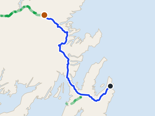
335 km · from Gander
St. John's is 334.7 km from Gander airport by road, on Routes 330, 1 and 2. St. John's airport is closer.
 route map
Gander
337 km · from St. John's
Gander is 336.5 km from St. John's airport by road, on Routes 40, 1 and 330. Gander airport is closer.
- FreeDoum · CC BY-SA 4.0
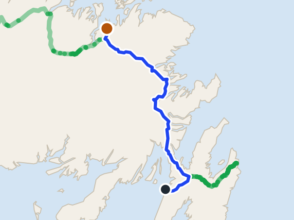
Gros Morne
337 km · from Port aux Basques
Off the boat at Port aux Basques, Rocky Harbour in Gros Morne is 337 km on the Trans-Canada and Route 430, past Corner Brook.
 route map
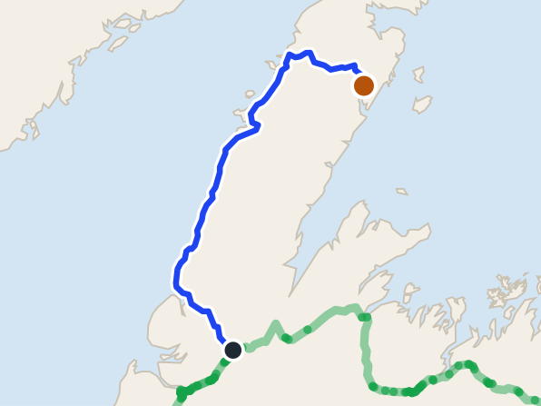
Lewisporte
350 km · from Argentia
Off the seasonal Argentia ferry, Lewisporte is 350.2 km: the Trans-Canada west through Gander, then Routes 340 and 341 north.
 route map
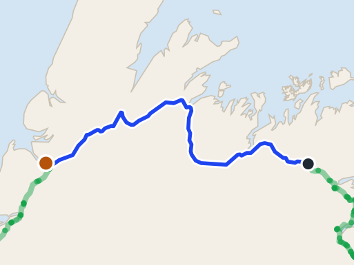
Roddickton
352 km · from Deer Lake
Deer Lake to Roddickton: 351 km by Routes 430, 432 and 433 into Canada Bay — one of the longest drives from Deer Lake.
 route map
Corner Brook
360 km · from Gander
Corner Brook is 360.2 km from Gander airport by road, on Routes 1 and 450A. Deer Lake airport is closer.
- Shhewitt · CC BY-SA 4.0
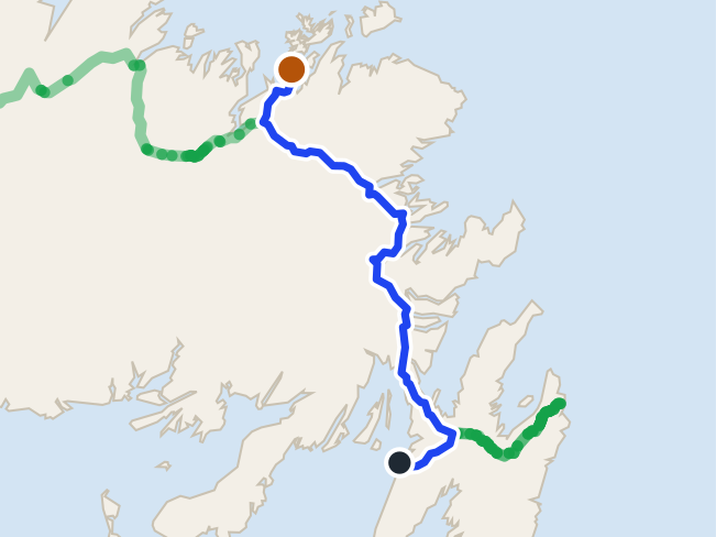
Twillingate
360 km · from Deer Lake
Twillingate is across the island from Deer Lake: 360 km east on the Trans-Canada, then Route 340 north. Gander airport is far closer.
 route map
Comfort Cove-Newstead
378 km · from Argentia
Off the seasonal Argentia ferry, Comfort Cove-Newstead is 377.8 km: the Trans-Canada west through Gander, then Routes 340 and 343.
 Quintin Soloviev · CC BY 4.0
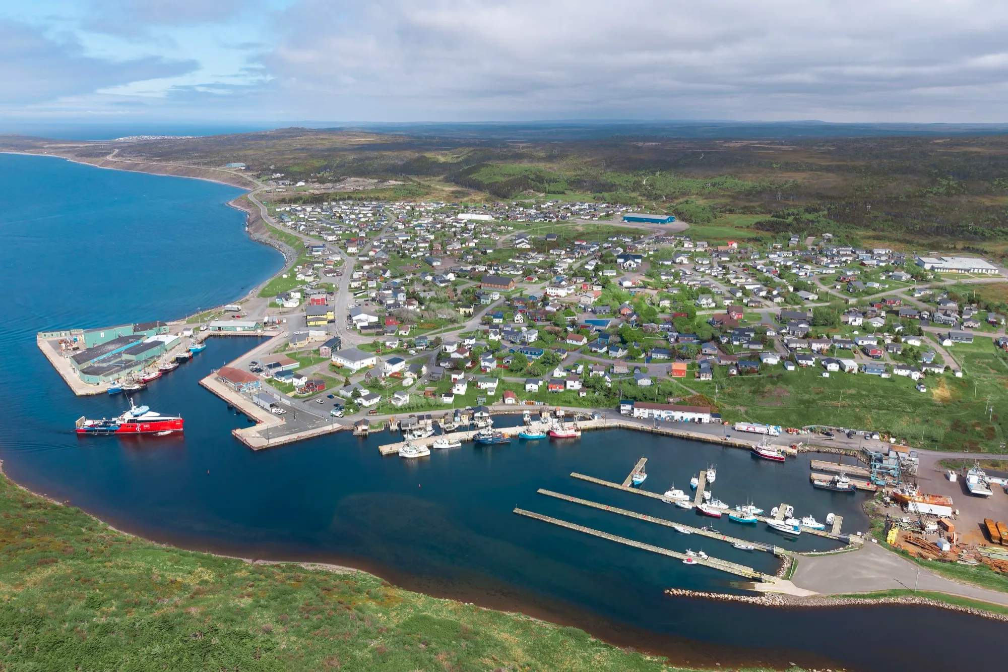
Fortune
379 km + ferry · from Gander
You land at Gander and Fortune is 378 km south, down the Burin Peninsula to the wharf where a ferry leaves Canada for France — with half a billion years of geology at the headland beside it.
 Shhewitt · CC BY-SA 4.0
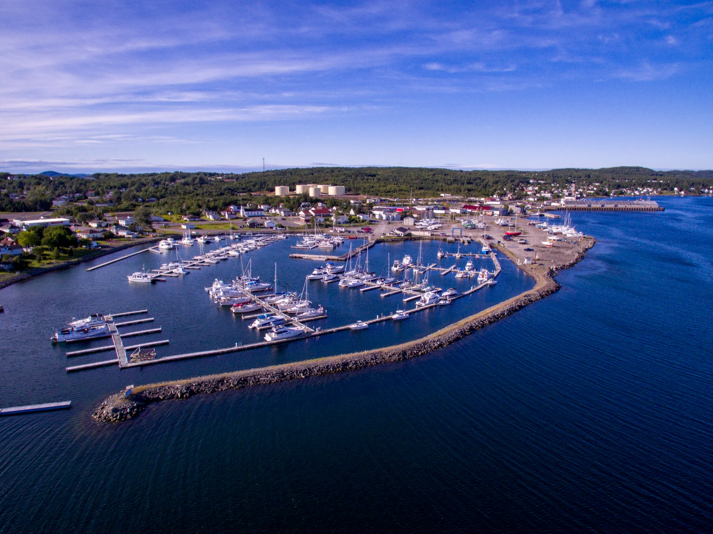
Lewisporte
395 km · from St. John's
From St. John's Airport, Lewisporte is 395 km — Route 40, the Trans-Canada, then Routes 340 and 341. Gander is by far the nearer door.
 route map
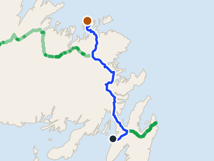
Twillingate
402 km · from Argentia
Off the seasonal Argentia ferry, Twillingate is 402.2 km: the Trans-Canada to Gander, then Routes 330, 331 and 340 north.
 route map
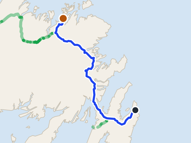
Comfort Cove-Newstead
422 km · from St. John's
Comfort Cove-Newstead is 422.3 km from St. John's airport: Route 40, the Trans-Canada through Gander, then Routes 340 and 343. Gander is far closer.
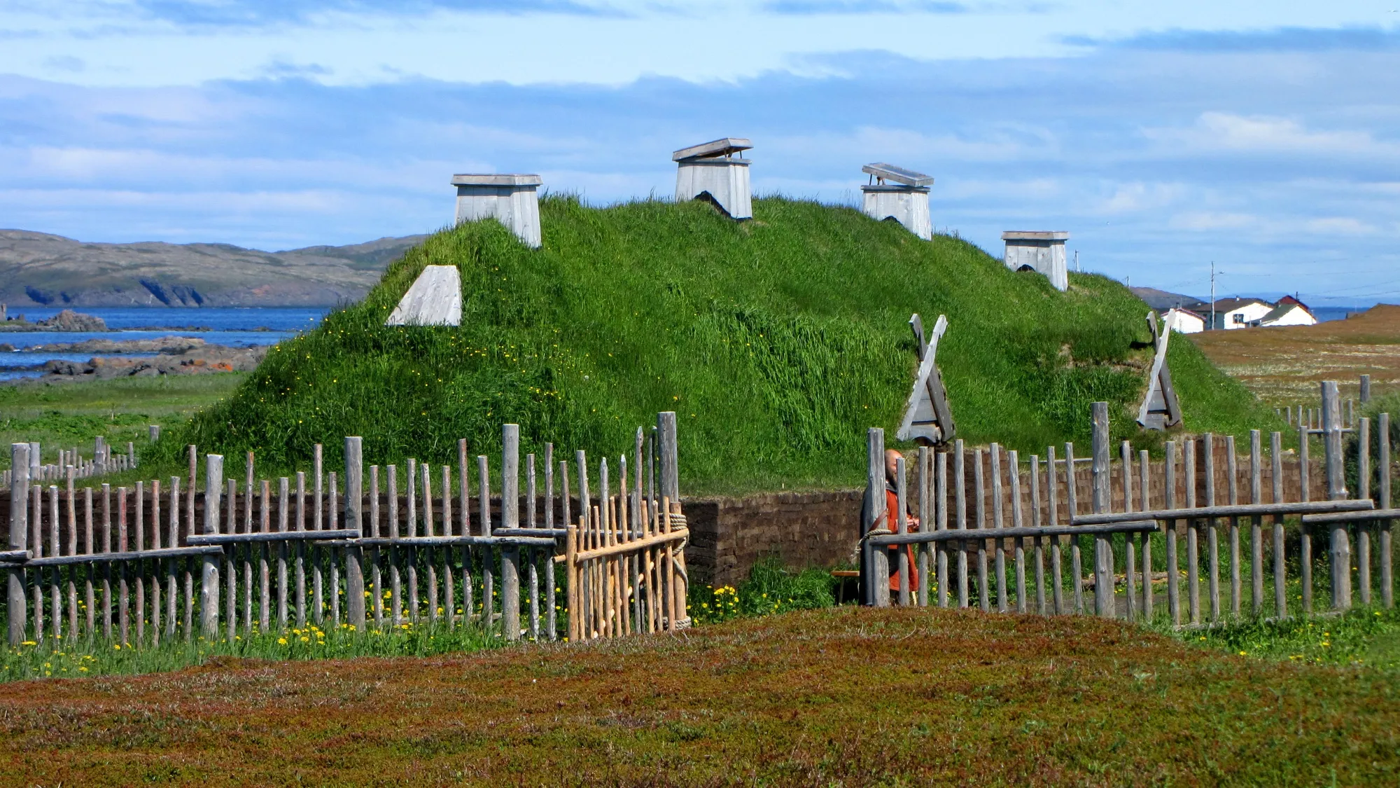 D. Gordon E. Robertson · CC BY-SA 3.0
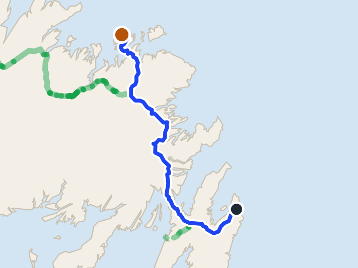
L'Anse aux Meadows
436 km · from Deer Lake
You land at Deer Lake and L'Anse aux Meadows is 436 km north, up Routes 430 and 436: the full Viking Trail, past Gros Morne, to the Norse site at the island's tip.
 route map
Twillingate
447 km · from St. John's
Twillingate is 446.6 km from St. John's airport: Route 40, the Trans-Canada to Gander, then Routes 330, 331 and 340 north. Gander is far closer.
 route map
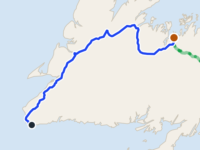
Lewisporte
542 km · from Port aux Basques
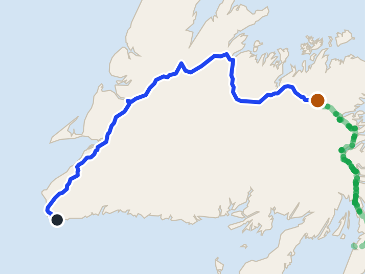
Off the ferry at Port aux Basques, Lewisporte is 542.3 km: the Trans-Canada the length of the island, then Routes 340 and 341 north.
 route map
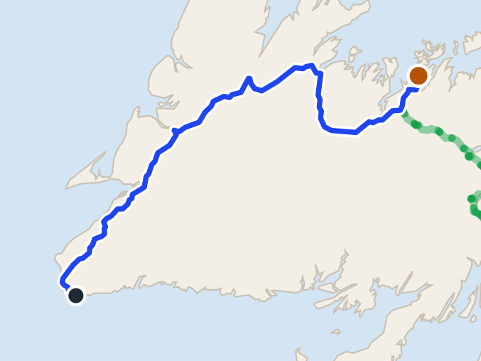
Comfort Cove-Newstead
570 km · from Port aux Basques
Off the ferry at Port aux Basques, Comfort Cove-Newstead is 569.9 km: the Trans-Canada the length of the island, then Routes 340 and 343.
 route map
Gander
571 km · from Port aux Basques
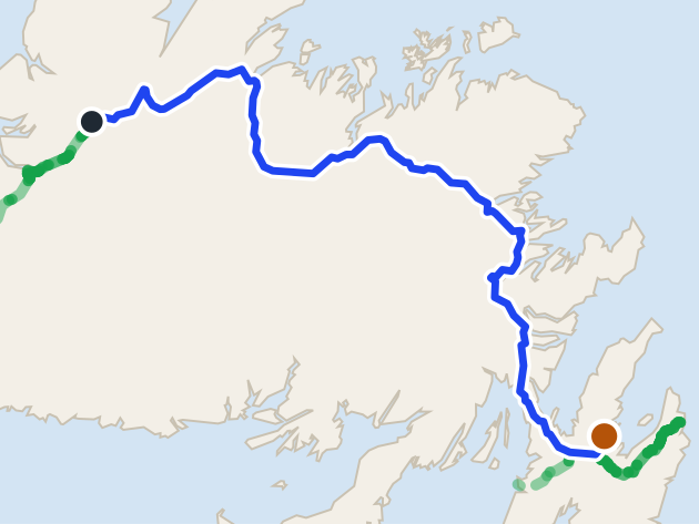
Gander is 571.4 km from the Port aux Basques ferry by road, on Route 1. Argentia ferry is closer.
 route map
Clarke's Beach
583 km · from Deer Lake
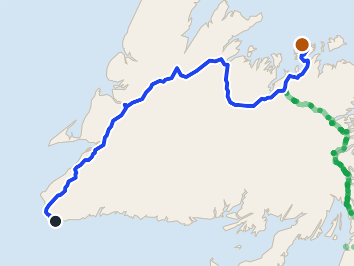
Clarke's Beach is 582.9 km from Deer Lake airport by road, on Routes 1, 71 and 70. St. John's airport is closer.
 route map
Twillingate
627 km · from Port aux Basques
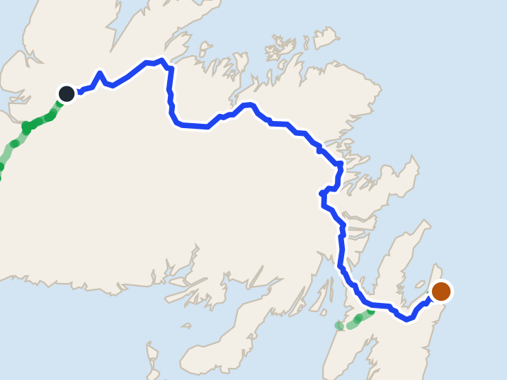
Off the ferry at Port aux Basques, Twillingate is 626.9 km: the Trans-Canada the length of the island, then Route 340 north over the causeways.
 route map
St. John's
638 km · from Deer Lake
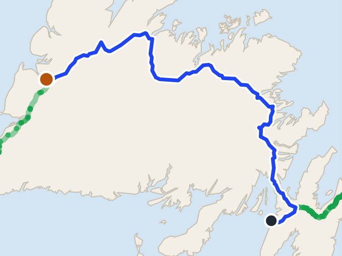
St. John's is 637.8 km from Deer Lake airport by road, on Routes 1 and 2. St. John's airport is closer.
 route map
Corner Brook
647 km · from Argentia
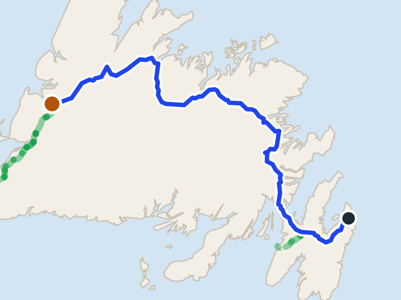
Corner Brook is 647.3 km from the Argentia ferry by road, on Routes 1 and 450A. Port aux Basques ferry is closer.
 route map
Corner Brook
692 km · from St. John's
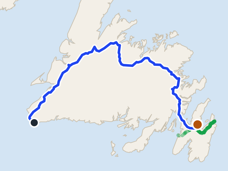
Corner Brook is 691.8 km from St. John's airport by road, on Routes 40, 1 and 450A. Deer Lake airport is closer.
 route map
Clarke's Beach
850 km · from Port aux Basques
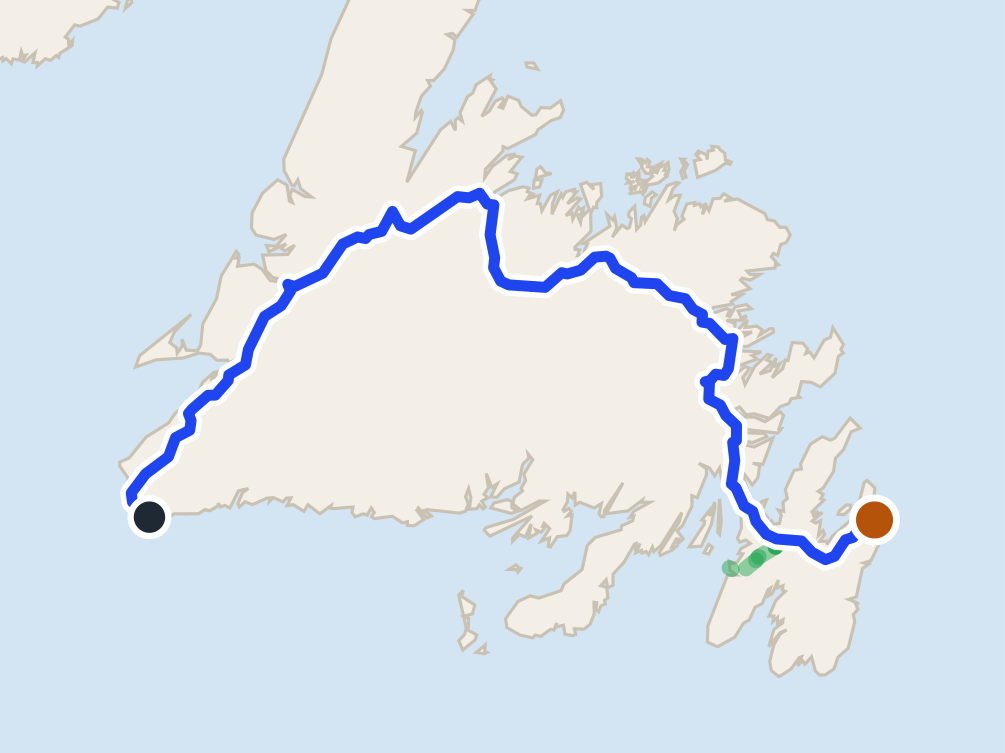
Clarke's Beach is 849.6 km from the Port aux Basques ferry by road, on Routes 1, 71 and 70. Argentia ferry is closer.
 route map
St. John's
905 km · from Port aux Basques
St. John's is 904.5 km from the Port aux Basques ferry by road, on Routes 1 and 2. Argentia ferry is closer.
Cobb's Pond Loop
4.5 km loop · 0 m climb
trailhead 6.1 km · from Gander
Edgar Baird Lakeside
4.2 km walk · 96 m climb
trailhead 8.4 km · from Gander
North Head
1.6 km point to point, one way · 55 m climb
trailhead 8.8 km · from St. John's
Piccos Ridge Path
14.5 km point to point, one way · 318 m climb
trailhead 11 km · from St. John's
Father Troy's Path
8.9 km point to point, one way · 293 m climb
trailhead 12 km · from St. John's
Stiles Cove Path
15.1 km point to point, one way · 346 m climb
trailhead 20 km · from St. John's
Deadmans Bay Path
10.5 km point to point, one way · 427 m climb
trailhead 20 km · from St. John's
White Horse Path
18.2 km point to point, one way · 635 m climb
trailhead 21 km · from St. John's
Motion Path
13.8 km point to point, one way · 223 m climb
trailhead 23 km · from St. John's
Biscane Cove
7 km point to point, one way · 288 m climb
trailhead 26 km · from St. John's
Spout Path
16.2 km point to point, one way · 759 m climb
trailhead 43 km · from St. John's
Mickeleens Path
7.2 km point to point, one way · 170 m climb
trailhead 45 km · from St. John's
Stuckless Pond
9.5 km lollipop · 162 m climb
trailhead 47 km · from Deer Lake
Beaches Path
7.1 km point to point, one way · 77 m climb
trailhead 48 km · from St. John's
Stanleyville
4.8 km out and back · 115 m climb
trailhead 51 km · from Deer Lake
Tinkers Point Path
5 km point to point, one way · 64 m climb
trailhead 53 km · from St. John's
Eelbrook Hiking
2.5 km loop · 74 m climb
trailhead 56 km · from Gander
Cardio Climb
7.6 km walk · 191 m climb
trailhead 60 km · from Deer Lake
Carmanville Wetlands Main Line
3 km walk · 0 m climb
trailhead 64 km · from Gander
Gill's Point
8.2 km walk · 10 m climb
trailhead 65 km · from Gander
Gros Morne Mountain
17 km lollipop · 837 m climb
trailhead 65 km · from Deer Lake
Flamber Head Path
11.5 km point to point, one way · 437 m climb
trailhead 67 km · from St. John's
Lookout Trail (Gros Morne)
5.8 km loop · 313 m climb
trailhead 68 km · from Deer Lake
Woody Point Lookout
2.2 km walk · 54 m climb
trailhead 68 km · from Deer Lake
Louil Hill
3.7 km loop · 91 m climb
trailhead 70 km · from Gander
Tablelands Off-Trail (plateau)
18 km walk · 501 m climb
trailhead 71 km · from Deer Lake
Mill Cove Lookout
1.6 km out and back · 29 m climb
trailhead 72 km · from Gander
Tablelands
4 km out and back · 73 m climb
trailhead 72 km · from Deer Lake
Malady Head
3.8 km out and back · 141 m climb
trailhead 75 km · from Gander
Brigus Head Path
6.4 km point to point, one way · 311 m climb
trailhead 75 km · from St. John's
Cape Broyle Head Path
19.4 km point to point, one way · 550 m climb
trailhead 76 km · from St. John's
Baker's Brook Falls
9 km out and back · 63 m climb
trailhead 77 km · from Deer Lake
Berry Hill
1.4 km out and back · 74 m climb
trailhead 77 km · from Deer Lake
Coastal Trail (Terra Nova)
8.4 km out and back · 113 m climb
trailhead 78 km · from Gander
Berry Head Pond
2 km loop · 14 m climb
trailhead 78 km · from Deer Lake
Goowiddy Path
8 km loop · 80 m climb
trailhead 78 km · from Gander
Mount Stamford Look-off
2.2 km out and back · 99 m climb
trailhead 78 km · from Gander
Green Gardens
9.2 km out and back · 88 m climb
trailhead 80 km · from Deer Lake
Coastal Trail (Gros Morne)
5.8 km out and back · 11 m climb
trailhead 80 km · from Deer Lake
Outport
35 km out and back · 206 m climb
trailhead 82 km · from Gander
Eastern Point Trail (Trout River)
2.4 km out and back · 47 m climb
trailhead 84 km · from Deer Lake
Trout River Pond
14 km out and back · 162 m climb
trailhead 86 km · from Deer Lake
High Tide Trail (Eastport)
2.6 km out and back · 12 m climb
trailhead 88 km · from Gander
Ochre Hill
5 km loop · 58 m climb
trailhead 88 km · from Gander
Sandy Pond
3 km loop · 60 m climb
trailhead 88 km · from Gander
Peter's River Hiking
5 km walk · 28 m climb
trailhead 90 km · from Gander
Western Brook Pond
5.4 km out and back · 12 m climb
trailhead 97 km · from Deer Lake
Western Brook Pond Rim
24.2 km walk · 725 m climb
trailhead 97 km · from Deer Lake
Coastal Ridge
13.1 km point to point, one way · 531 m climb
trailhead 98 km · from Gander
Snug Harbour
14.4 km out and back · 88 m climb
trailhead 98 km · from Deer Lake
Indian Lookout
2 km walk · 16 m climb
trailhead 100 km · from Gander
Shoreline
11.6 km walk · 5 m climb
trailhead 102 km · from Gander
Dunphy's Pond
9.8 km out and back · 110 m climb
trailhead 103 km · from Gander
Steve's
1 km out and back · 19 m climb
trailhead 104 km · from Deer Lake
Bear Cove Point Path
11.9 km point to point, one way · 249 m climb
trailhead 105 km · from St. John's
Purcell's Harbour to Little Harbour
4.6 km walk · 96 m climb
trailhead 108 km · from Gander
Black Rock Trail (Twillingate)
1.1 km loop · 17 m climb
trailhead 110 km · from Gander
Lower Little Harbour
2.4 km loop · 120 m climb
trailhead 110 km · from Gander
Minty's Farm
4.6 km walk · 0 m climb
trailhead 112 km · from Gander
Back Bay
3.6 km out and back · 75 m climb
trailhead 117 km · from Gander
Wild Cove Path (Fogo)
6.4 km walk · 36 m climb
trailhead 117 km · from Gander
Codjacks Cove
3.2 km walk · 89 m climb
trailhead 118 km · from Gander
Old Mail Road
2.4 km out and back · 0 m climb
trailhead 119 km · from Deer Lake
Greenspond Island Walk
6 km loop · 42 m climb
trailhead 125 km · from Gander
Waterman's Brook
8 km out and back · 96 m climb
trailhead 125 km · from Gander
Lion's Den
4.2 km loop · 126 m climb
trailhead 126 km · from Gander
Fogo Head
4.2 km walk · 98 m climb
trailhead 128 km · from Gander
Alexander Murray
6.2 km loop · 345 m climb
trailhead 131 km · from Deer Lake
Joe Batt's Point
4.6 km out and back · 7 m climb
trailhead 131 km · from Gander
Newtown Boardwalk Walk
3.4 km walk · 0 m climb
trailhead 131 km · from Gander
MAD Trail (Fogo)
5.2 km walk · 36 m climb
trailhead 131 km · from Gander
Turpin's Trail West
5 km loop · 64 m climb
trailhead 135 km · from Gander
Oliver's Cove
5.6 km walk · 13 m climb
trailhead 137 km · from Gander
Caribou
5.2 km out and back · 54 m climb
trailhead 139 km · from Deer Lake
Trail to Morry's Cove
3.6 km walk · 95 m climb
trailhead 206 km · from Gander
Pilley's Island Lookout
4.6 km out and back · 90 m climb
trailhead 214 km · from Gander
Starlight
4.8 km out and back · 320 m climb
trailhead 239 km · from Deer Lake
Aaron's Arm
5.2 km walk · 72 m climb
trailhead 262 km · from Deer Lake
Smokey Cape
2.4 km walk · 20 m climb
trailhead 262 km · from Deer Lake
Traditional Trail to Piccaire
4.4 km out and back · 61 m climb
trailhead 267 km · from Gander
Sandbanks Beaches Loop
4.5 km loop · 16 m climb
trailhead 268 km · from Deer Lake
Hermitage-Sandyville Walking
1.5 km loop · 23 m climb
trailhead 277 km · from Gander
Dead Man's Cove
6.2 km out and back · 57 m climb
trailhead 282 km · from Gander
Harvey's
4 km loop · 22 m climb
trailhead 288 km · from Deer Lake
Grand Bank Cape
7.4 km walk · 90 m climb
trailhead 375 km · from Gander
Lighthouse
5.4 km walk · 104 m climb
trailhead 384 km · from Gander
Lighthouse Coastal
3.2 km walk · 19 m climb
trailhead 384 km · from Gander
Great Dansik Cove
8.2 km out and back · 34 m climb
trailhead 392 km · from Gander
Pepsi Centre
rink · via Corner Brook
at the door 59 km · from Deer Lake
Mike Austin Arena
rink · via Lewisporte
at the door 64 km · from Gander
Pat O'Reilly Memorial Arena
rink · via Botwood
at the door 93 km · from Gander
Joe Byrne Memorial Stadium
rink · via Grand Falls-Windsor
at the door 101 km · from Gander
By what you came to do
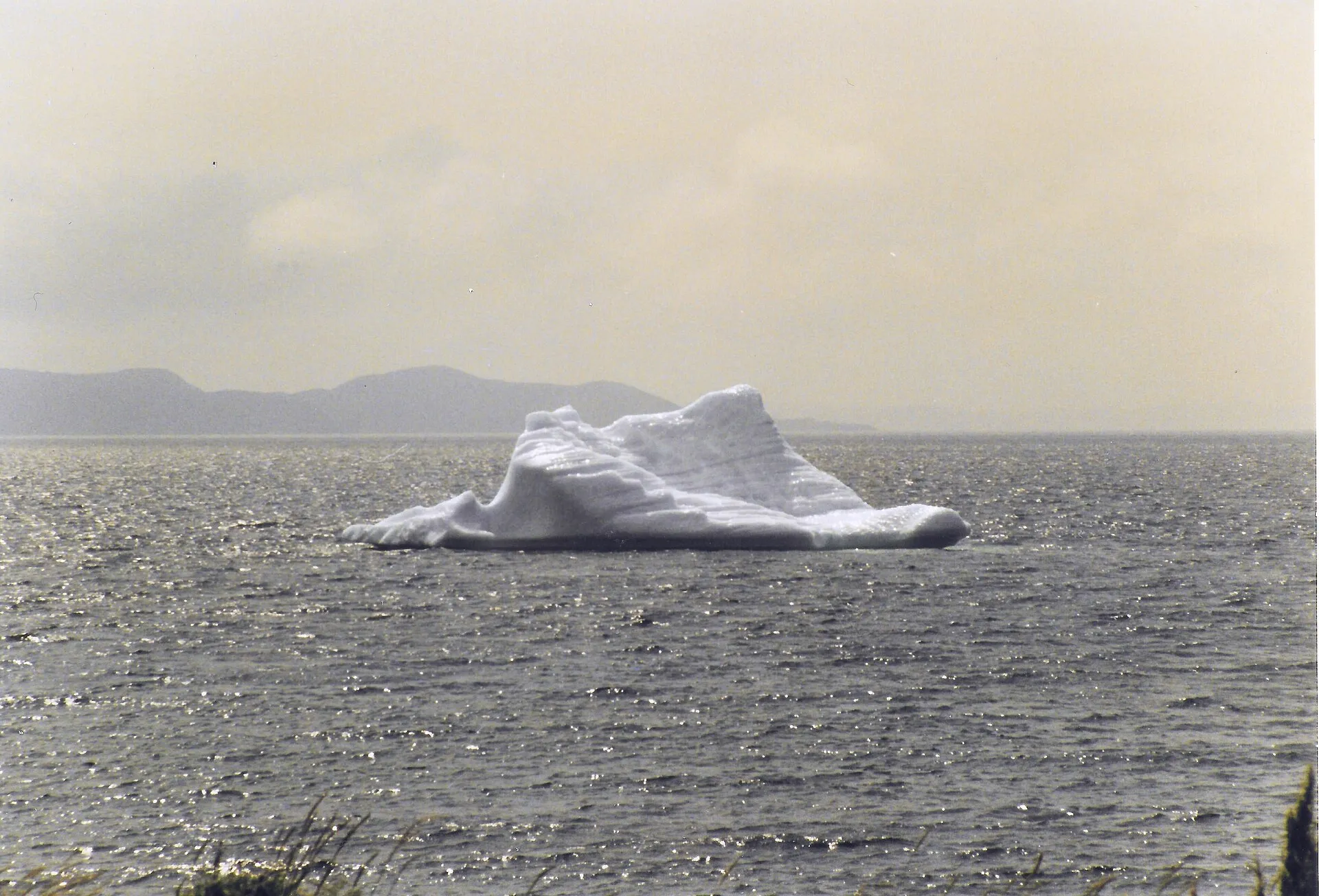
- Icebergs9 routes · 86 km to 627 km →
- Whales7 routes · 24 km to 360 km →
- Ferries8 routes · 11 km to 299 km →
- Hiking13 routes · 88 trails · 3.7 km to 213 km →
- Heritage50 routes · 3.7 km to 570 km →
- Camping12 routes · 78 km to 436 km →
- Beaches5 routes · 93 km to 307 km →
- Downhill2 routes · 47 km to 148 km →
- Cross-country3 routes · 57 km to 98 km →
- Skating4 routes · 57 km to 98 km →
- Lighthouses6 routes · 24 km to 305 km →
- Birds9 routes · 46 km to 307 km →
- Stargazing1 route · 78 km →
- Harbours7 routes · 114 km to 627 km →
- Small planes1 route · 236 km →
- Races14 road, trail, ultra and triathlon races, the drive to each →
Guides
Before you go
Things to do
Local
96 routes, every drive measured and dated. How we measure →
Run a place to stay or a tour? Our maps are free for your site. For partners →