Guide
Where to see icebergs near Gander
Scan with your phone to open this page there. Then tap Keep for offline before you lose signal.
The province's season is spring to early summer; late May and early June are suggested as the best viewing. The odds by month →
Where the ice is on the day you go is a live question: check the latest sightings map → Look the night before, on wifi; signal on the headlands is patchy.
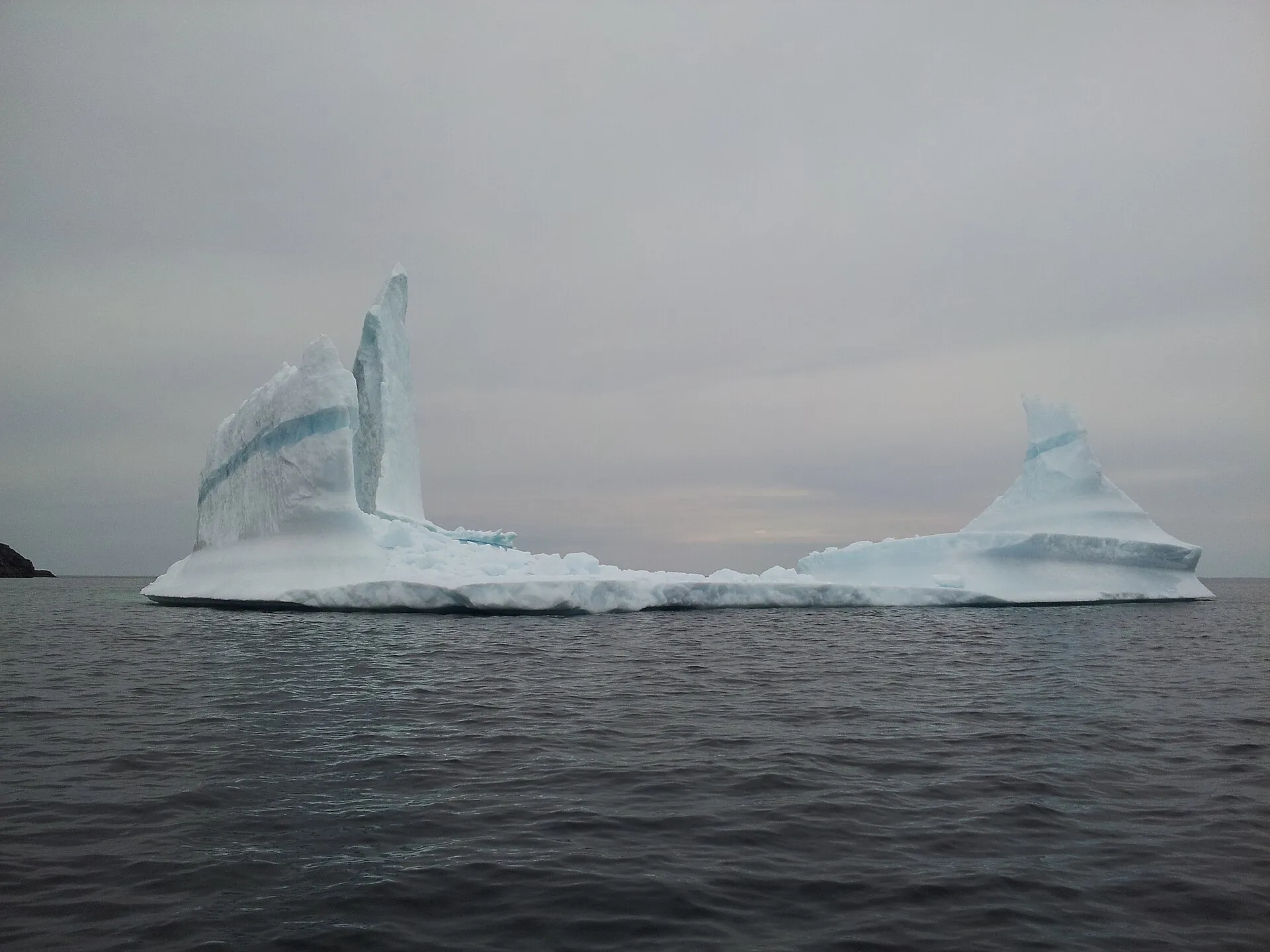

Twillingate, Fogo Island and Change Islands. The province names all three among its more popular places to watch icebergs, and each sits within 115 km of Gander airport.
Check before you drive whether anything is out there; the link is under Before you go. Whether this year is likely to be good is a separate question: see what are your chances of seeing an iceberg?.
Each spot is below, with the drive from the terminal door.
We have no photograph that shows how big these are. If you have one, such as a boat beside a berg, we would like it, credited.
Where to go, and how to get there
Twillingate
The one iceberg spot here you reach without a ferry, and the one most people mean by going to see icebergs. Shore viewing and boat tours both run from here.
On the drive YQX → Twillingate — 114 km to the end of that drive
This spot itself:Directions →Other map apps
Apple · Google · Organic Maps · OsmAnd (both work offline, no tracking) · WazeFogo Island
Reached by ferry from Farewell, so it takes the most planning. If the bergs are the reason for the trip, check sightings before you book a sailing.
On the drive YQX → Fogo Island — 86 km to the end of that drive, then a ferry
This spot itself:Directions →Other map apps
Apple · Google · Organic Maps · OsmAnd (both work offline, no tracking) · WazeChange Islands
On the same ferry service as Fogo Island, and much quieter. Some sailings cross straight to Fogo, so read the schedule.
On the drive YQX → Change Islands — 86 km to the end of that drive, then a ferry
This spot itself:Directions →Other map apps
Apple · Google · Organic Maps · OsmAnd (both work offline, no tracking) · WazeBonavista
The province names Bonavista among its popular iceberg-viewing places. The cape at the end of the peninsula has open water on three sides, with the lighthouse for a landmark. Gander is the nearer door, though not by as much as the map suggests: the run down Route 230 is long and the peninsula takes weather from two bays at once.
On the drive YQX → Cape Bonavista — 248 km to the end of that drive
This spot itself:Directions →Other map apps
Apple · Google · Organic Maps · OsmAnd (both work offline, no tracking) · WazeLa Scie
The furthest north of these, out on the Baie Verte Peninsula. A trip of its own, not a day out from Gander.
On the drive YDF → La Scie — 208 km to the end of that drive
This spot itself:Directions →Other map apps
Apple · Google · Organic Maps · OsmAnd (both work offline, no tracking) · Waze
Before you go
These change, so we link to the people who keep them up to date.
Where the bergs actually are, right nowCheck the day you travel
Iceberg Finder is the province-backed sightings map. Check it to see whether anything is out there.
Check it now →When to comeLate May and early June, per the province
Newfoundland and Labrador Tourism's guidance is that "April and May are the months when bergs are most plentiful, but they may be locked up in sea ice, so we suggest late May and early June for best viewing." The peak of the ice and the best time to see it are not the same weeks.
Check it now →Road conditionsYear round, matters most November–April
Iceberg season overlaps the tail of winter conditions on these highways. Check before you set out.
Check it now →
Tell me when the icebergs arrive
Most of the year there are none. We'll email when the season looks worth the trip.
Questions people actually ask
When is iceberg season in Newfoundland?+
The province's own guidance is that April and May are when bergs are most plentiful, but that they may be locked up in sea ice then, so late May and early June are suggested for best viewing. There is no date you can book against: bergs vary year to year and week to week.
Where are the best places to see icebergs near Gander?+
Newfoundland and Labrador Tourism names Twillingate, Fogo Island and Change Islands among the more popular viewing places from shore or by tour boat, and all three are within reach of Gander airport. La Scie is also on their list but is a much longer drive, and closer to Deer Lake than to Gander.
Can I plan a trip around seeing an iceberg?+
Not around a date. The province says icebergs are unpredictable. Pick a window in late spring, check Iceberg Finder once you are here, and drive to whichever of these places has something in front of it. Each is a good day out regardless.
The province lists a dozen iceberg spots. Why are five of them here?+
This page is about the drive from Gander, and those five are nearest to it. The province's list runs from St. Lewis in southern Labrador down to Bay Bulls, and names St. Anthony, Cape Spear and Witless Bay just as it names these five. They are another airport's drive: St. Anthony is a Deer Lake trip, and Cape Spear and Bay Bulls have their own routes from St. John's.
Which airport should I fly into for icebergs?+
Gander, for every place here but one. Twillingate is 114 km away, and the Fogo ferry terminal 86 km. La Scie is the exception: 324 km from Gander but 208 km from Deer Lake.
Every figure on this page was checked against its source on August 28, 2026.