Guide
Twillingate
Scan with your phone to open this page there. Then tap Keep for offline before you lose signal.
.jpg)
113.8 km by road from Gander, and no ferry. No sailing to plan around: just a road out of Gander and a town at the end of it.
So you can decide on it at breakfast. Fogo and Change Islands are both good, but both are planned around a boat.
What to see once you are there is below.
Where to go, and how to get there
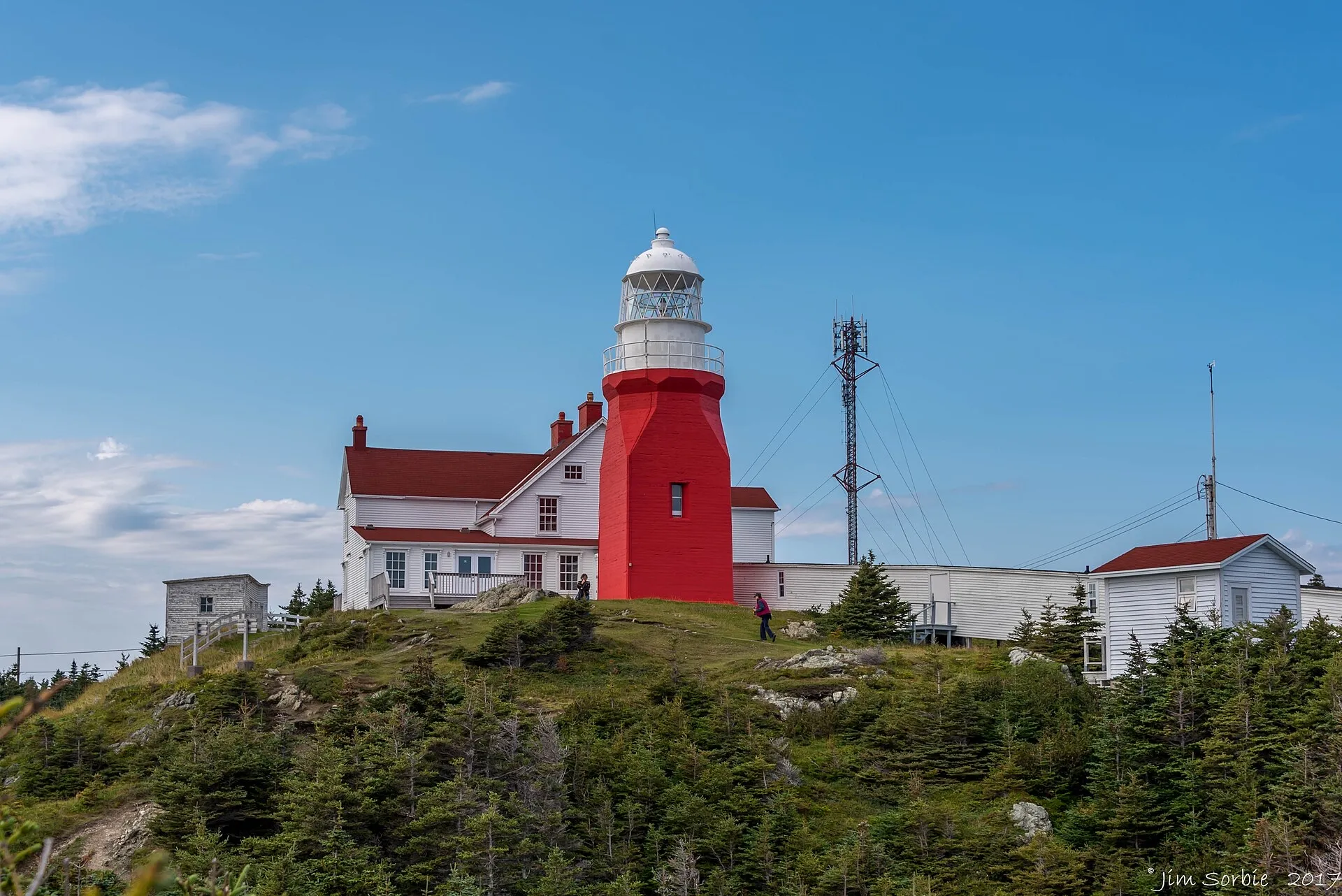
Long Point Lighthouse
The headland light north of the town, about 7 km out from the centre, and the highest thing you can drive to here. People go when the bergs are in, and it is worth the trip when they are not. A historical exhibit is mapped at the same spot.
6.9 km from the town centre
This spot itself:Directions →Other map apps
Apple · Google · Organic Maps · OsmAnd (both work offline, no tracking) · WazeGeorge Hawkins Memorial Arena
The rink is a Second World War aircraft hangar from Gander. A crew of Twillingate volunteers took it apart in the mid-1960s, moved it, and put it back together here; it opened in 1968 and is still home to the Twillingate Combines. In 2020 the town won Kraft Hockeyville on the strength of it. If you have just driven out from Gander, the building made the same journey.
On the drive YQX → Twillingate — 114 km to the end of that drive
This spot itself:Directions →Other map apps
Apple · Google · Organic Maps · OsmAnd (both work offline, no tracking) · WazeTwillingate Museum
The town's main museum, in the old rectory near the harbour. Opening is seasonal and the operator publishes the current dates.
On the drive YQX → Twillingate — 114 km to the end of that drive
This spot itself:Directions →Other map apps
Apple · Google · Organic Maps · OsmAnd (both work offline, no tracking) · WazeIsles Wooden Boat Museum
Boatbuilding, not general local history, a short walk from the Twillingate Museum. Also seasonal: check before you plan around it.
On the drive YQX → Twillingate — 114 km to the end of that drive
This spot itself:Directions →Other map apps
Apple · Google · Organic Maps · OsmAnd (both work offline, no tracking) · WazeTop of Twillingate Trailhead
The trailhead at the south end of the islands, before you reach the town. Coastal walking, not a summit push, and the best shore views short of a boat.
On Route 340 south of the town
This spot itself:Directions →Other map apps
Apple · Google · Organic Maps · OsmAnd (both work offline, no tracking) · WazeSmith's Lookout
A viewpoint over the harbour, in the town itself. A good first look at where you have arrived.
On the drive YQX → Twillingate — 114 km to the end of that drive
This spot itself:Directions →Other map apps
Apple · Google · Organic Maps · OsmAnd (both work offline, no tracking) · Waze
Before you go
These change, so we link to the people who keep them up to date.
IcebergsTypically late spring into early summer
Twillingate is the name most tied to iceberg viewing on this coast, but bergs vary year to year and week to week. Check current sightings, not a calendar.
Check it now →Museums and boat toursSeasonal, and each operator sets its own dates
Almost everything here is a summer operation run by a small organisation or a family, and hours move. Check the place you are planning around. The town museum publishes its season at tmacs.ca.
Check it now →Road conditionsYear round, matters most November–April
The causeways onto the islands are exposed. Check before setting out in bad weather.
Check it now →
Questions people actually ask
Do I need a ferry to get to Twillingate?+
No, unlike Fogo. Twillingate is reached by road across the New World Island causeways, and no provincial ferry serves it. Drive from the airport and arrive when you arrive.
How far is it from the airport?+
113.8 km from Gander on Routes 330, 331 and 340. From Deer Lake it is 360 km, so this is a Gander destination.
How long should I spend there?+
A day trip works and many people do it, but the town rewards a night. The lighthouse is 6.9 km from the centre, the museums are walkable from each other, and the trailheads are south of town on the way in. That is more than an afternoon.
Is it only worth going in iceberg season?+
No, though that is when it is busiest. The lighthouse, the coast walks and the museums are there regardless, and nobody can promise the bergs. Treat them as the bonus, not the plan.
Can I see icebergs without taking a boat?+
Often, yes. This is a shore-viewing coast as much as a boat-tour one, and Long Point is the obvious vantage. Boat tours run from the harbour in season; you will find them easily when you are there.
Every figure on this page was checked against its source on August 30, 2026.