Arriving at Gander (YQX)
Driving from Gander International Airport (YQX)
25 routes measured from this door, 41 from the other — the map is still filling in on this side. Every figure below was driven out of a routing engine, not a brochure, and carries its check date on the route page.
Flying into the other airport, or still choosing? Which airport, and by how much →
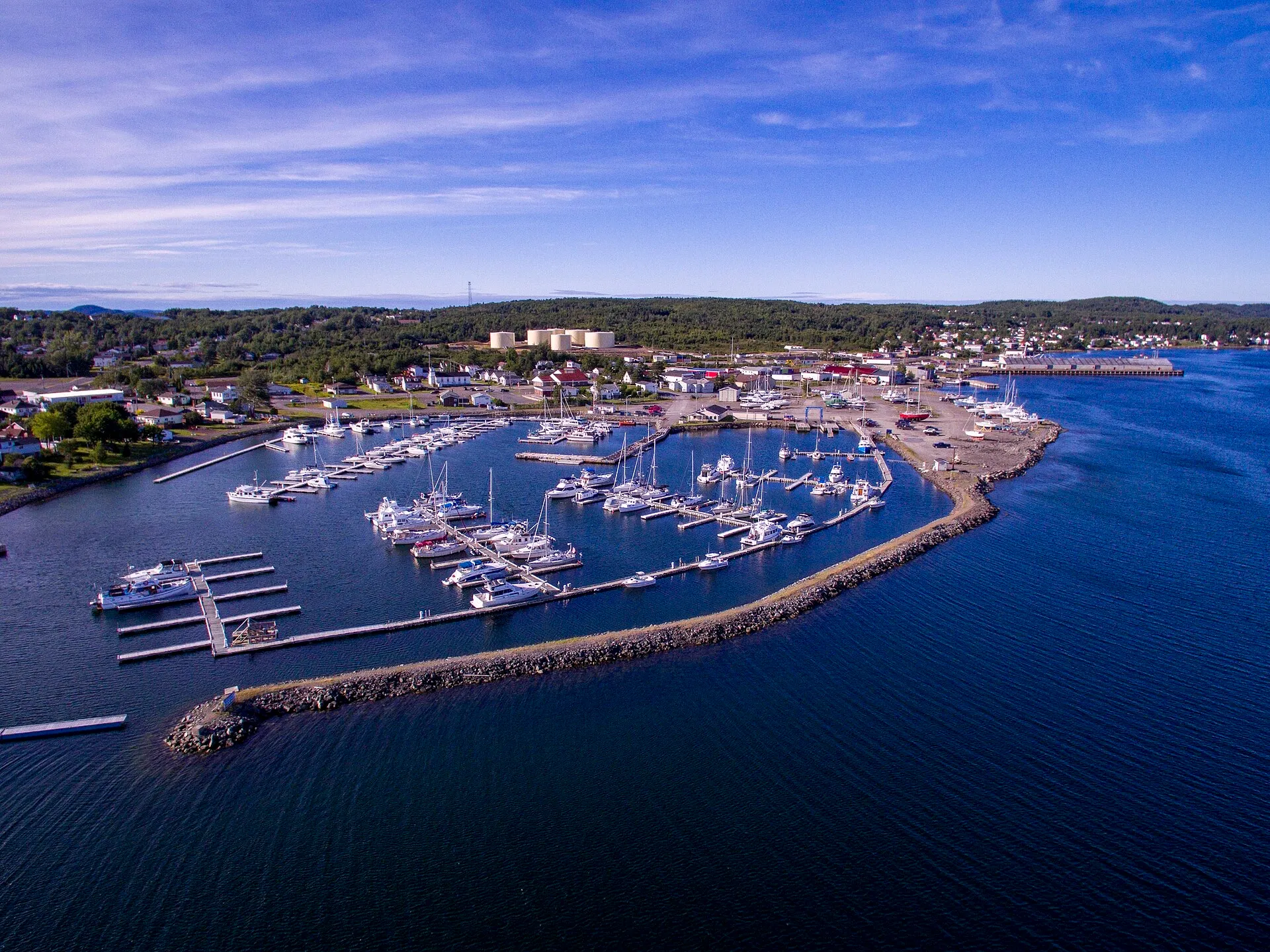
Lewisporte53 min · 63 km
You land at Gander and Lewisporte is 63 km north-west. About 53 minutes: the Trans-Canada west, then Routes 340 and 341 north to the bay.
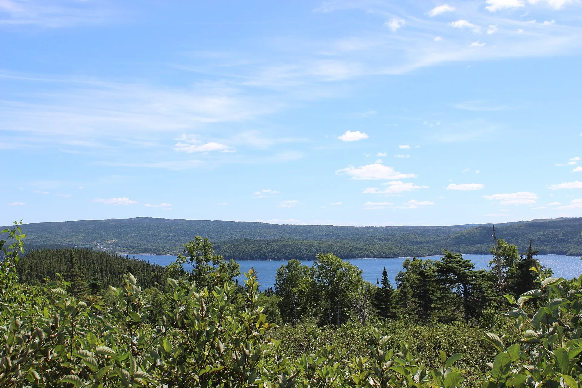
Terra Nova1h 3m · 77.8 km
A national park an hour from Gander: 77.8 km, straight down the Trans-Canada, with no ferry and no season to plan around.
- photo wanted — yours?
Botwood1h 15m · 92.1 km
92.1 km and about 1h15 to the town where the transatlantic flying boats landed — the other half of the story Gander airport is famous for.
- photo wanted — yours?
Dover1h 15m · 72.5 km
You land at Gander and Dover is 73 km northeast. About 1h15 via Routes 1 and 320 to the mapped fault line where two ancient continents meet.
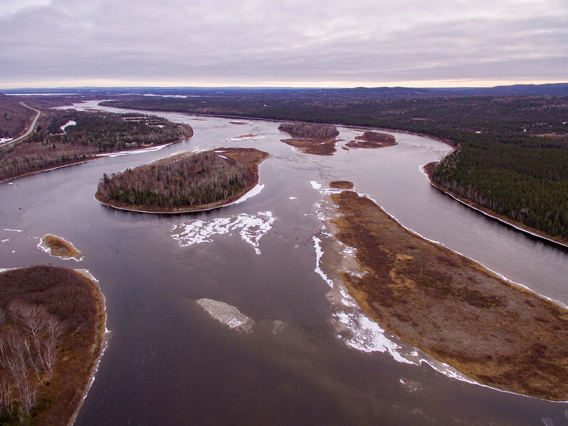
Grand Falls-Windsor1h 17m · 98.3 km
98.3 km and about 1h17 straight down the Trans-Canada — the largest town between the two airports, and the one with everything open.
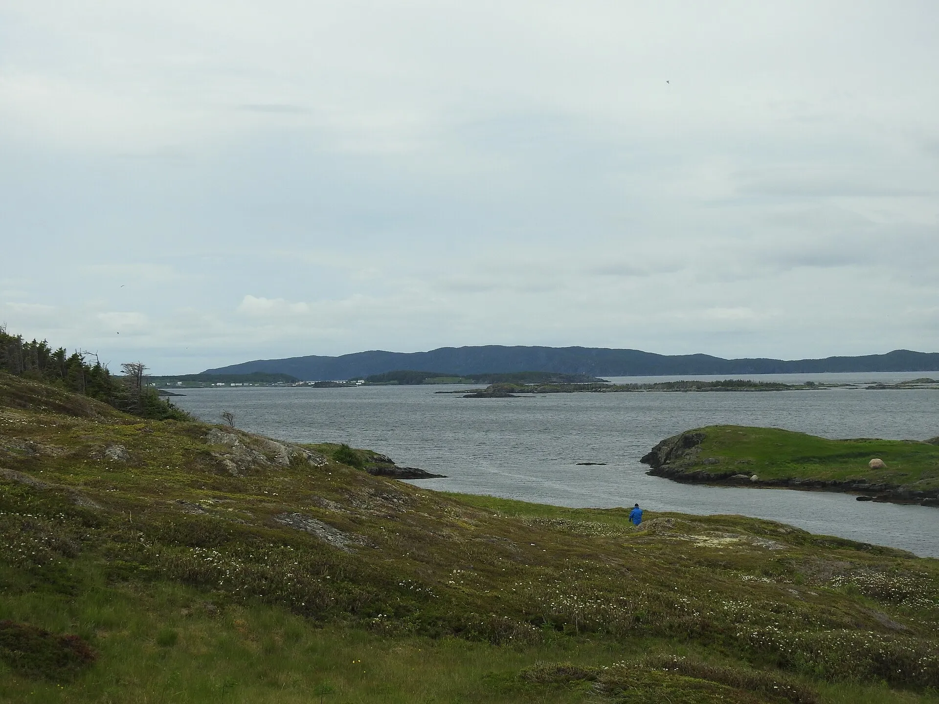
St. Brendan's1h 19m + ferry · 94.3 km
94.3 km and about 1h19 to the Burnside wharf — nearer than Twillingate — then an hour on the water to an island almost nobody plans for.
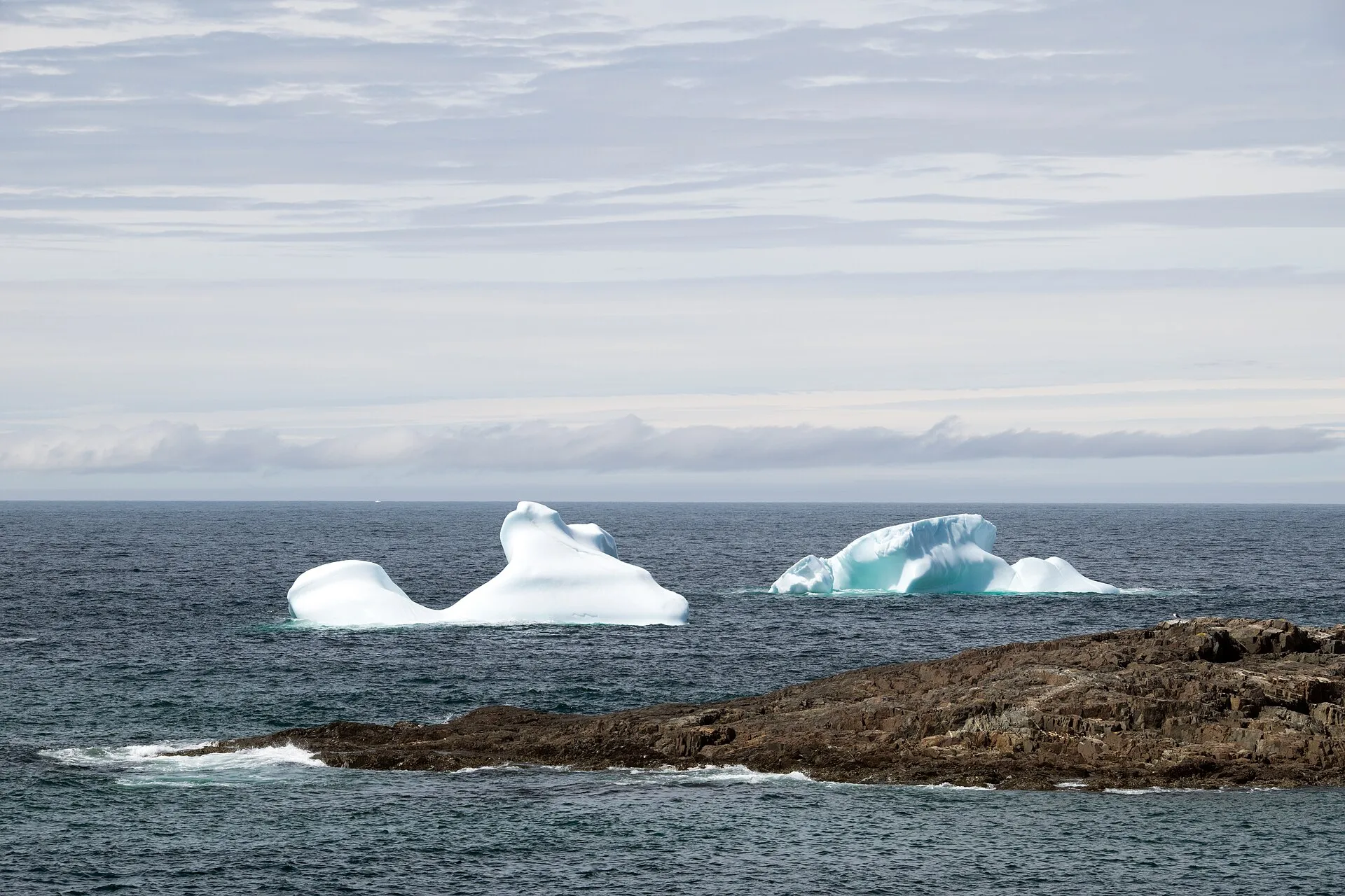
Fogo Island1h 21m + ferry · 86.3 km
The drive from Gander to the Farewell ferry is 86 km and about 1h21 — not the hour you'll see quoted. Then a ferry to Fogo Island.
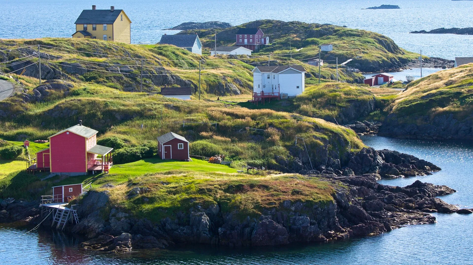
Change Islands1h 21m + ferry · 86.3 km
Same drive as the Fogo run — 86 km, about 1h21 to the Farewell ferry — but you get off at the first stop instead of the second.
- photo wanted — yours?
Salvage1h 21m · 97.3 km
You land at Gander and Salvage is 97 km southeast. About 1h21 via Routes 1 and 310 — through the Eastport beaches to one of the oldest fishing villages on the coast.
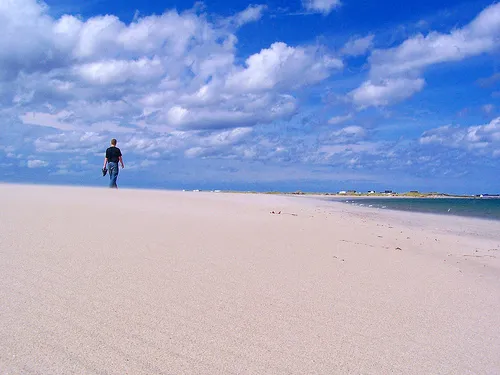
Musgrave Harbour1h 25m · 90.8 km
You land at Gander and the Straight Shore is 91 km northeast. About 1h25 on Route 330 — one road, no turns to argue about, and kilometres of mapped beach at the end.
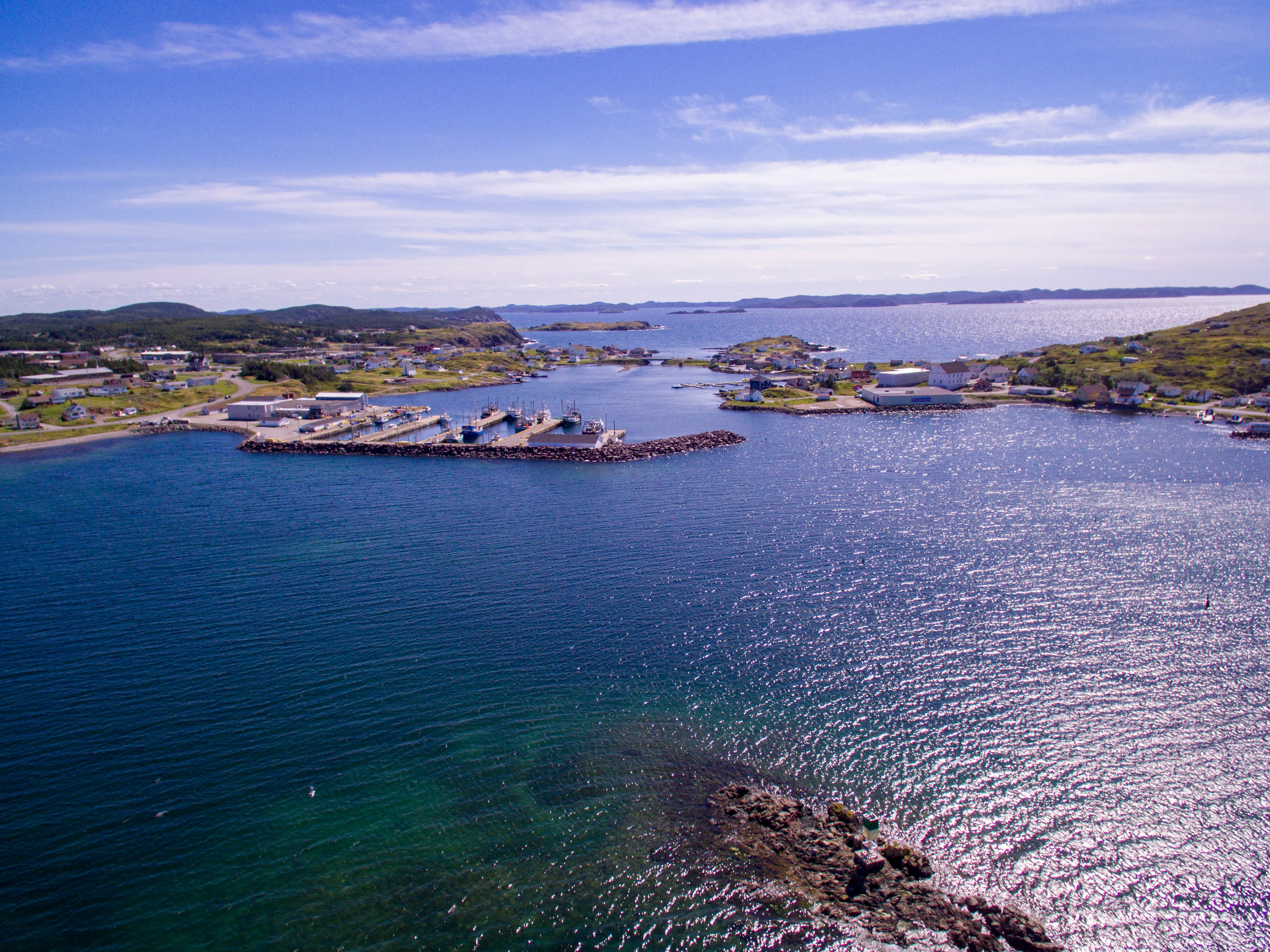
Twillingate1h 48m · 113.8 km
You land at Gander and the icebergs are 114 km north. Here is the drive: about 1h48 on Routes 330, 331 and 340, and what is worth stopping for on the way.
- photo wanted — yours?
New-Wes-Valley1h 56m · 118.5 km
You land at Gander and New-Wes-Valley is 119 km northeast. About 1h56 via Routes 1 and 320 to Wesleyville's amalgamated coast, with the Newtown spur beyond.
- photo wanted — yours?
Clarenville1h 57m · 147.3 km
Clarenville is 147 km and about 1h57 from Gander on Routes 330 and 1 — Gander is the closest of the three airport doors.
- photo wanted — yours?
White Hills2h · 148 km
Gander to the White Hills ski resort at Clarenville: 148 km and about 2 hours on the Trans-Canada, and the nearest airport door to the hill.
- photo wanted — yours?
Greenspond2h 6m · 124.3 km
You land at Gander and Greenspond is 124 km northeast. About 2h06 via Routes 1 and 320 to an island outport joined to the coast by causeway.
- photo wanted — yours?
Leading Tickles2h 10m · 148.4 km
You land at Gander and Leading Tickles is 148 km northwest. About 2h10 on the Trans-Canada and Route 350, up the peninsula that walls the Bay of Exploits.
- photo wanted — yours?
King's Point2h 42m · 207.2 km
King's Point is 207 km and 162 minutes from Gander via the Trans-Canada (1) and Routes 390 and 391 to Green Bay.
- photo wanted — yours?
Trinity (Trinity Bay)2h 50m · 200.3 km
You land at Gander and Trinity is 200 km southeast. About 2h50 via Routes 1, 230 and 239 to the saltbox town everyone tells you to see — and they're right.
- photo wanted — yours?
Pilley's Island2h 59m · 220.2 km
220 km and about 2h59 from Gander to the Pilley's Island ferry terminal, via the Trans-Canada and Routes 380 and 382.
- photo wanted — yours?
Triton3h 3m · 223.9 km
Triton is 224 km from Gander airport, about 183 minutes west on the Trans-Canada (Route 1) then north on Route 380.
- photo wanted — yours?
St. Alban's3h 27m · 234.9 km
You land at Gander and the south coast is 235 km away. About 3h27 on the Trans-Canada and Route 360 — the long road to Bay d'Espoir, and the only door this site has to the south.
- photo wanted — yours?
Cape Bonavista3h 45m · 247.8 km
You land at Gander and Cape Bonavista is 248 km east. About 3h45 to the lighthouse at the road's true end — puffins, the Dungeon and five centuries of shore on the way.
- photo wanted — yours?
Hermitage4h 4m + ferry · 276.1 km
You land at Gander and Hermitage is 276 km south. About 4h04 via Routes 1, 360 and 364 to the wharf where the Gaultois ferry crosses to a road-free outport.
- photo wanted — yours?
Harbour Breton4h 9m · 280.2 km
You land at Gander and Harbour Breton is 280 km south. About 4h09 via Routes 1 and 360 — the long interior road to the Connaigre coast's principal town.
- photo wanted — yours?
Fortune5h 28m + ferry · 378.5 km
You land at Gander and Fortune is 378 km south. About 5h 28m down the Burin Peninsula to the wharf where a ferry leaves Canada for France — with half a billion years of geology at the headland beside it.
Compare every destination from both airports on the full table → · The terminal side — parking, arrivals, rentals — is the airport's own: their site →
Before you drive: the room you landed in has its own podcast episode. 99% Invisible — “Gander International Airport” (2018) tells the story of the 1959 international lounge — the mid-century furniture, the Queen at its opening, the Beatles taking their first North American steps here, Fidel Castro going sledding, and the 38 planeloads of strangers the town fed on September 11. Worth the listen while your bags come out.