Arriving at Deer Lake (YDF)
Driving from Deer Lake Regional Airport (YDF)
19 routes measured from this door, 47 from the other — the map is still filling in on this side. Every figure below was driven out of a routing engine, not a brochure, and carries its check date on the route page.
Flying into the other airport, or still choosing? Which airport, and by how much →
- photo wanted — yours?
Marble Mountain39 min · 47.3 km
You land at Deer Lake and Marble Mountain is 47 km southwest. 39 minutes on the Trans-Canada down the Humber Valley to the base lodge at Steady Brook.
- photo wanted — yours?
Corner Brook47 min · 56.9 km
You land at Deer Lake and Corner Brook is 57 km southwest. About 47 minutes down the Humber Valley to the west coast's city and Captain Cook's lookout.
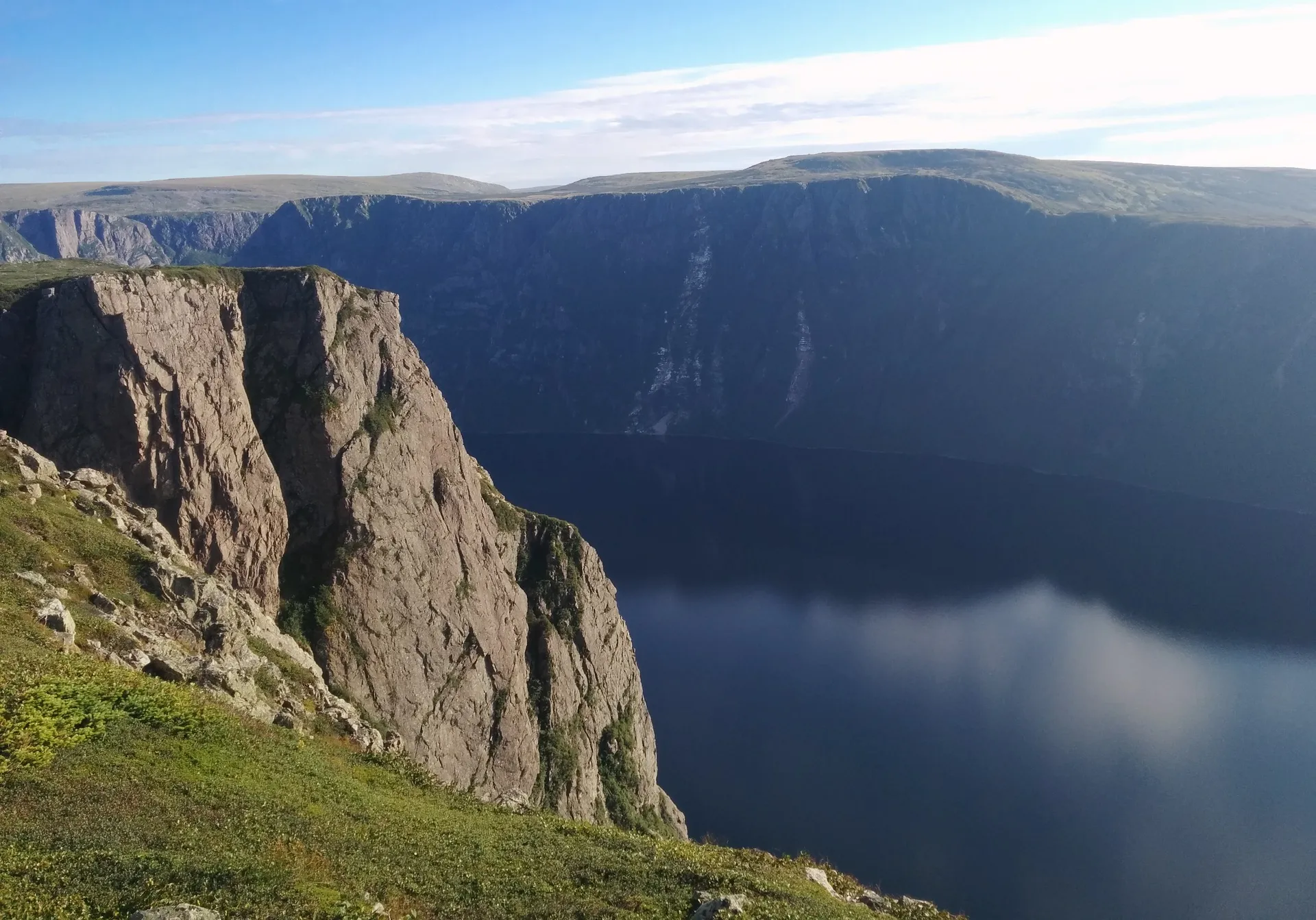
Gros Morne (Rocky Harbour)55 min · 72 km
You land at Deer Lake and Gros Morne is 72 km north. The drive to Rocky Harbour is about 55 minutes, on the Trans-Canada and Route 430.
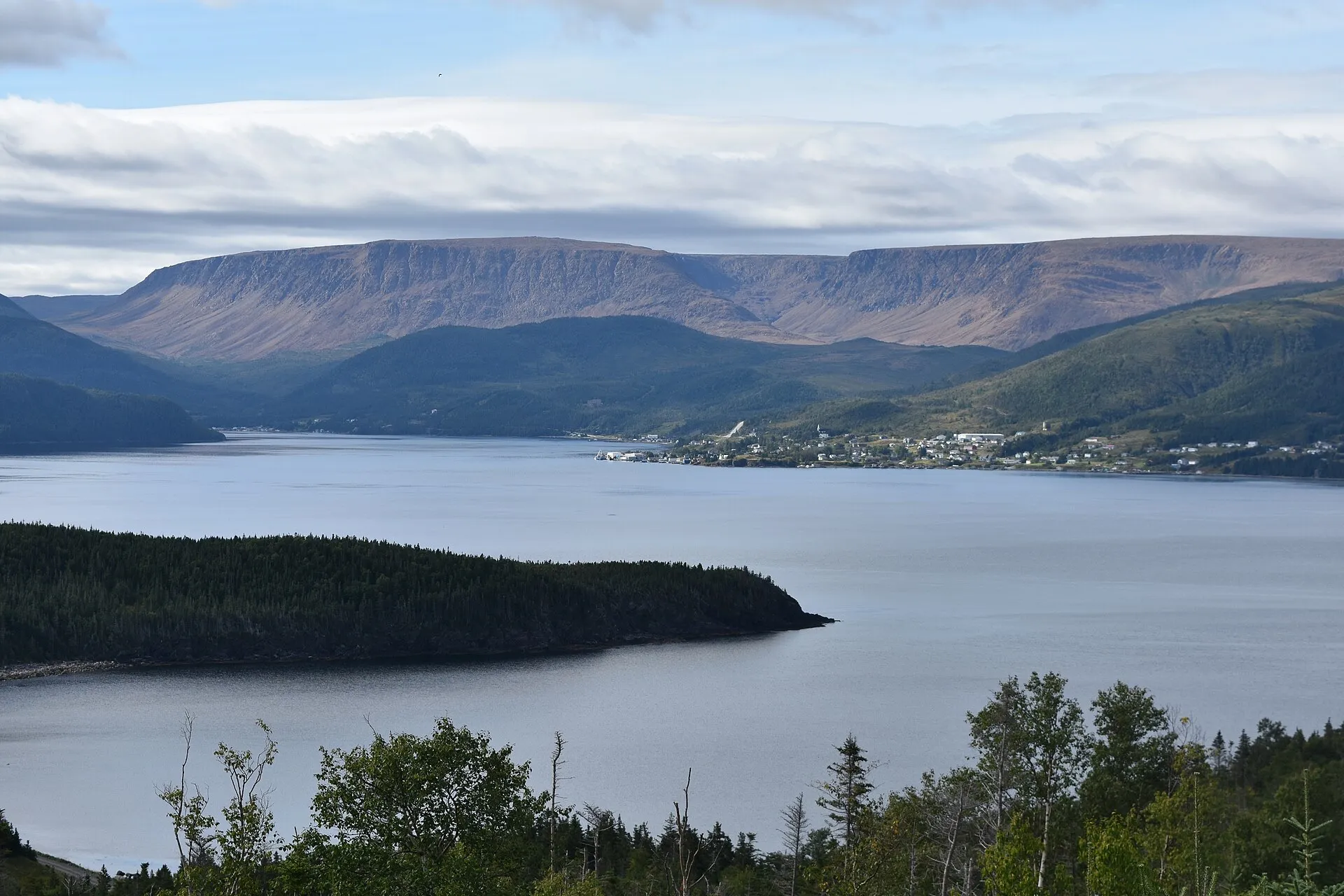
Woody Point58 min · 67.2 km
The south arm of Gros Morne: 67.2 km and about an hour from Deer Lake, on a different turn from Rocky Harbour and no closer to it.
- photo wanted — yours?
Cow Head1h 36m · 118.5 km
You land at Deer Lake and Cow Head is 119 km north. About 1h36 up Route 430 through Gros Morne to the park's quieter northern shore and Shallow Bay's sand.
- photo wanted — yours?
King's Point1h 45m · 132.7 km
132.7 km and about 1h45 from Deer Lake — the closest call between the two airports on this site, and where the coast's best-known trail is.
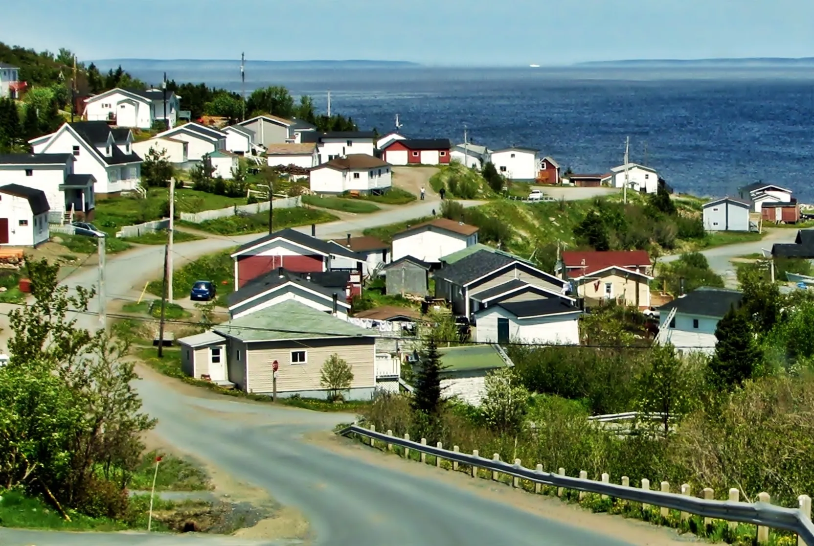
Baie Verte2h 16m · 159.3 km
Baie Verte is 159 km from Deer Lake, about 2h16 on the Trans-Canada and Route 410 — and an hour and a half closer than flying into Gander.
- photo wanted — yours?
Long Island2h 22m + ferry · 171 km
171 km and about 2h22 from Deer Lake to the Pilley's Island wharf, then a short crossing to Long Island on a sixteen-car boat.
- photo wanted — yours?
Triton2h 24m · 173.8 km
You land at Deer Lake and Triton is 174 km northeast. About 2h24 on the Trans-Canada and Route 380, island-hopping by causeway into the middle of Green Bay.
- photo wanted — yours?
Cape St. George2h 42m · 188.1 km
You land at Deer Lake and Cape St. George is 188 km southwest. About 2h 42m through Stephenville to the island's French Shore — the peninsula where Newfoundland speaks French and the cliffs face Quebec.
- photo wanted — yours?
Grand Falls-Windsor2h 45m · 212.8 km
212.8 km and about 2h45 east on the Trans-Canada (Route 1) — Gander is far closer for this town.
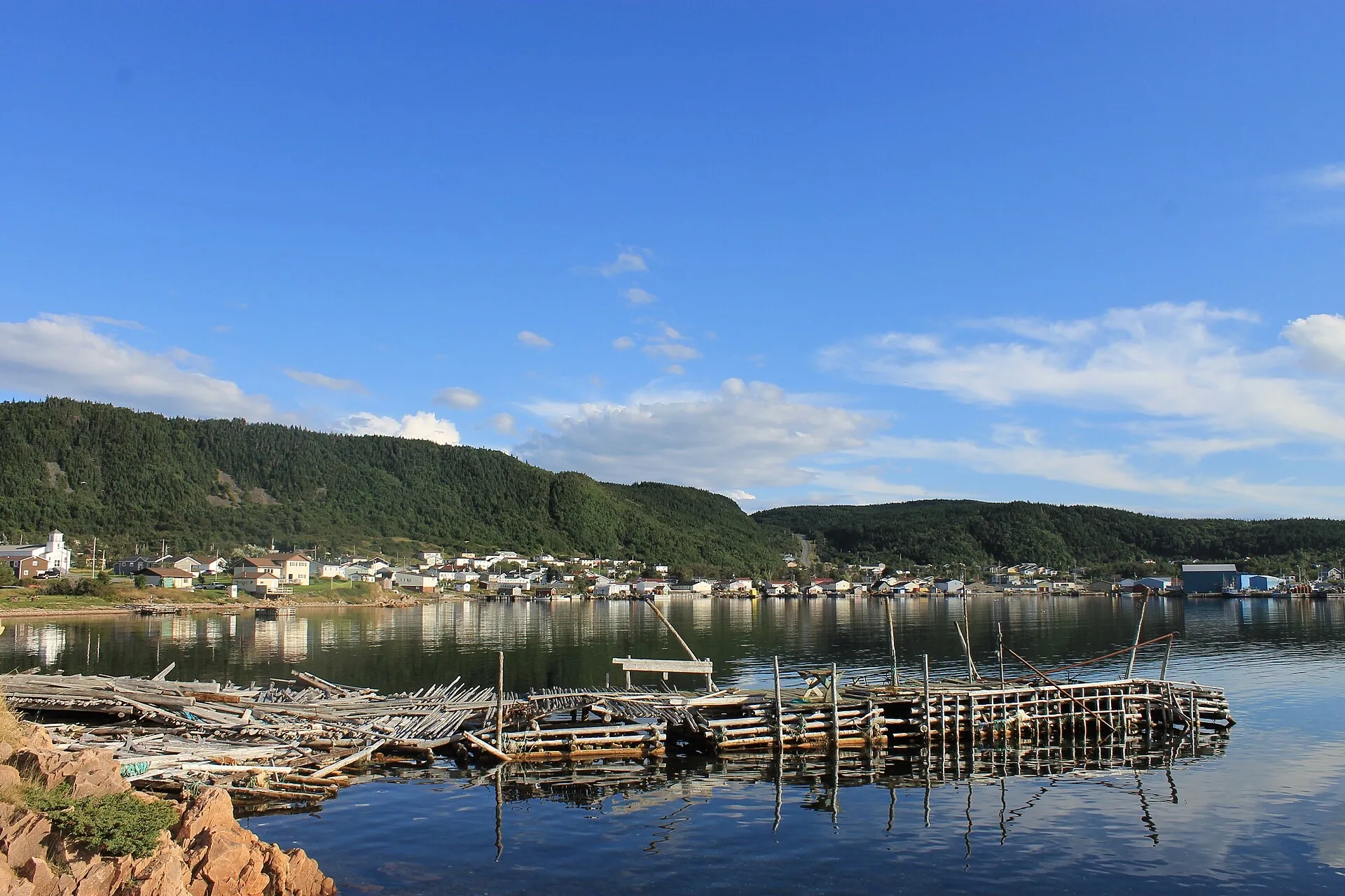
La Scie3h 1m · 208.3 km
The province's northernmost named iceberg viewing spot on this coast: 208 km and about 3h01 from Deer Lake, and an hour and a half further from Gander.
- photo wanted — yours?
Port au Choix3h 3m · 235.9 km
You land at Deer Lake and Port au Choix is 236 km north. About 3h 3m up the Viking Trail to six thousand years of archaeology on one limestone point — with The Arches' sea-carved rock on the way.
- photo wanted — yours?
Botwood3h 9m · 244 km
Botwood sits across the island from Deer Lake — about 3h09 east on the Trans-Canada, then Route 350 north. From Gander it is far closer.
- photo wanted — yours?
Port aux Basques3h 28m + ferry · 270.9 km
You land at Deer Lake and Port aux Basques is 271 km southwest. About 3h 28m down the whole west coast — the Codroy Valley's bird wetlands, Wreckhouse's famous wind, and the island's sea door at the end.
- photo wanted — yours?
Lewisporte3h 33m · 275.7 km
Lewisporte sits across the island from Deer Lake — about 3h33 east on the Trans-Canada, then Routes 340 and 341 north. From Gander it is far closer.
- photo wanted — yours?
Burgeo3h 48m + ferry · 265.7 km
You land at Deer Lake and Burgeo is 266 km south. About 3h48, most of it Route 480 through empty country, ending at the Sandbanks' long beaches.
- photo wanted — yours?
Roddickton4h 37m · 351.5 km
Deer Lake to Roddickton: 351 km and about 4h37 by Routes 430, 432 and 433 into Canada Bay — one of the remotest drives measured from either door.
- photo wanted — yours?
L'Anse aux Meadows5h 51m · 436.4 km
You land at Deer Lake and L'Anse aux Meadows is 436 km north. About 5h51 up Routes 430 and 436 — the full Viking Trail, past Gros Morne, to the Norse site at the island's tip.
Compare every destination from both airports on the full table → · The terminal side — parking, arrivals, rentals — is the airport's own: their site →