Trail · from Deer Lake (YDF)
Lookout Trail (Gros Morne)
Scan with your phone to open this page there. Then tap Keep for offline before you lose signal.
- Length
- 5.8 km loop
- Parks Canada's figure for the whole loop.
- Our mapped line reads 3.5 km; our map has only part of it, so the figure above is Parks Canada's.
- Climbing
- 313 m
- Every up added together; the highest point is 380 m.
- To the trailhead
- 68 km
Type of trail
Loop
You finish where you started without walking any of it twice.
Source: Parks Canada, “#15 Lookout Trail Distance: 5.8 km loop”.
moderateRated on the whole walk: 5.8 km round, about 313 m of climbing. How
Access: the rating measures effort only. Surface isn't recorded for most of it. Step-free access isn't recorded; ask the park before you go. Easier access in Gros Morne, from Parks Canada →
Drive: 68 km from the Deer Lake (YDF) terminal to the trailhead — not the town. OSRM driving profile, terminal door to the trailhead, checked 2026-10-11.
The trail, measured
Lookout Trail (Gros Morne): the mapped path is 3.5 km with 313 m of climbing, from 67 m up to 380 m.
Every cited segment →
OpenStreetMap way/432924088 (Geofabrik extract of 2026-09-20, Overpass being down); elevation from AWS Open Data Terrarium tiles (z14), sampled ~30 m, ascent over a 3 m noise threshold; measured 2026-10-11.
Today's trail conditions and seasonal closures are Parks Canada's — check before you climb →Park bulletins →
Use another map app
Apple Maps · Google Maps · Organic Maps · OsmAnd (both work offline, no tracking) · WazeTake it on your phone or watch
Only useful with a hiking app or a GPS watch. Just heading to the start? Use the directions above.
Save the track for a hiking or watch app (GPX)The file follows the mapped line, 3.5 km; the signed loop is 5.8 km. Expect your watch to read about 2.3 km short at the finish.
- Garmin: import it as a Course in Garmin Connect, then send it to your watch.
- Apple Watch: open it in a route app that runs on the watch, such as WorkOutDoors or Footpath.
- Suunto, COROS, Polar: import it as a route in the watch's app, then sync.
- Phone, offline: open it in Organic Maps or OsmAnd and download the map area before you lose signal.
Just a file: no account, nothing tracked.
No recorded track yet.Walked it? Send yours →
Getting here
- 68 km from Deer Lake to the trailhead.
The measured drive is YDF → Woody Point — 2 stops on it, with the road numbers, the surface and where to eat along it.
Eating, when you come off
Places to eat within 25 km by road of the trailhead, nearest first. 1 of 10 has a confirmed position.
- The Shed20 Cox's Ln · (709) 453-72241.7 kmunconfirmed — go by the address
- The Old Loft Restaurant8 Water St · (709) 453-22941.7 kmDirections →
Other map apps
Apple · Google · Organic Maps · OsmAnd (both work offline, no tracking) · Waze - Galliott Studios and Cafe8 Water St · (709) 638-24091.7 kmunconfirmed — go by the address
- Merchant Warehouse Retro Cafe and Wine Bar16 Water St · (709) 453-24161.8 kmunconfirmed — go by the address
- The Chocolate Moose Bakery & CafeTableland Drive, Birchy Head (upstairs at Roy Young Ltd, watch for the big Moose!) · (709) 458-85297 kmunconfirmed — go by the address
- Seaside Restaurant263 Main St · (709) 451-346116 kmunconfirmed — go by the address
- Riverside Takeout Trout RiverMain Steet · (709) 451-320717 kmunconfirmed — go by the address
- Blue Whale Convenience & Diner93 Main St17 kmunconfirmed — go by the address
No opening hours: the map data for these places has none. Phone ahead. Built 2026-10-11.
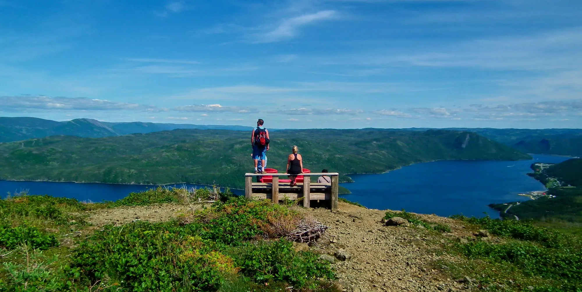
No photo yet. Walked it? Send yours.
3.5 km of mapped path with 313 m of climb in total. The trailhead is 68 km by road from Deer Lake airport. The numbers come from the map. For conditions on the day, check Parks Canada’s page linked above.
The full drive from Deer Lake (YDF), with stops and moose notes →
Measured October 11, 2026. Trailhead: OpenStreetMap way/432924088 — the path's mapped start.