Trail · from Gander (YQX)
Lower Little Harbour Trail
Scan with your phone to open this page there. Then tap Keep for offline before you lose signal.
- Mapped path
- 2.4 km loop
- The whole loop, by Out & Across's description.
- Climbing
- 120 m
- Every up added together; the highest point is 54 m.
- To the trailhead
- 110 km
Type of trail
Loop
You finish where you started without walking any of it twice.
Source: Out & Across, “the Lower Little Harbour Loop”.
easyRated on the whole walk: 2.4 km round, about 120 m of climbing. How
Access: the rating measures effort only. Surface isn't recorded for most of it. Step-free access isn't recorded; ask the park before you go.
Drive: 109.7 km from the Gander (YQX) terminal to the trailhead — not the town. OSRM driving profile, terminal to the trailhead, checked 2026-09-04.
The trail, measured
Lower Little Harbour Trail: the mapped path is 2.4 km with 120 m of climbing, from -1 m up to 57 m.
Every cited segment →
OpenStreetMap way/1006519655; elevation from AWS Open Data Terrarium tiles (z14), sampled ~30 m, ascent over a 3 m noise threshold; measured 2026-09-04.
Check today's conditions before you go →
Use another map app
Apple Maps · Google Maps · Organic Maps · OsmAnd (both work offline, no tracking) · WazeTake it on your phone or watch
Only useful with a hiking app or a GPS watch. Just heading to the start? Use the directions above.
Save the track for a hiking or watch app (GPX)- Garmin: import it as a Course in Garmin Connect, then send it to your watch.
- Apple Watch: open it in a route app that runs on the watch, such as WorkOutDoors or Footpath.
- Suunto, COROS, Polar: import it as a route in the watch's app, then sync.
- Phone, offline: open it in Organic Maps or OsmAnd and download the map area before you lose signal.
Just a file: no account, nothing tracked.
No recorded track yet.Walked it? Send yours →
Getting here
To Lower Little Harbour Trail trailhead from every airport and ferry, measured by road.
It sits on the Rocky Harbour ↔ Twillingate corridor, with the road numbers, the surface and where to eat along it. The distance above is the drive there.
Places to stay in Twillingate
From Best Kind Stays. Both sites are run by the same people. Listing is free and nothing paid changes the order.
- Applewood Inn ↗A bed and breakfast in a restored 1918 Victorian house in Twillingate, with ocean view rooms and home made pastries in our own kitchen.Books on its own site
Plan a trip around this walk
Pick where you arrive and how many days. The planner puts Lower Little Harbour Trail on a day, with the other walks near the places you stop.
What has been recorded near here
Wildlife people have reported within 10 km of Lower Little Harbour Trail trailhead, and the months they saw it. Tap a name for everywhere else on our drives it turns up.
- Northern gannetseabirdMorus bassanusReports cluster in June, July, October207 reports on record
- Humpback whalewhaleMegaptera novaeangliaeReports cluster in July, August, June48 reports on record
Reports, not counts: busy harbours report more. No sighting is promised, and the list covers only the species we look up. Source: GBIF, the international record of wildlife sightings, checked 2026-10-07.
Eating, when you come off
Places to eat within 25 km by road of the trailhead, nearest first. 2 of 16 have a confirmed position.
- Mary Brown's Chicken & Taters28 Toulinquet St · (709) 884-59904 kmunconfirmed — go by the address
- Lickety Split128 Main St4 kmunconfirmed — go by the address
- Robin's12a Toulinquet Rd · (709) 884-16464.4 kmunconfirmed — go by the address
- D&T Seafood Restaurant78 Main St · (709) 884-92114.7 kmunconfirmed — go by the address
- Golden Restaurant60 Main St · (709) 884-27474.9 kmDirections →
Other map apps
Apple · Google · Organic Maps · OsmAnd (both work offline, no tracking) · Waze - TastyThai & Pizza120 Main St · (709) 893-21204.9 kmunconfirmed — go by the address
- Crow's Nest Twillingate127 Main St · (709) 893-20294.9 kmunconfirmed — go by the address
- D&T Restaurant68 Main St · (709) 884-92115.1 kmunconfirmed — go by the address
No opening hours: the map data for these places has none. Phone ahead. Built 2026-10-11.
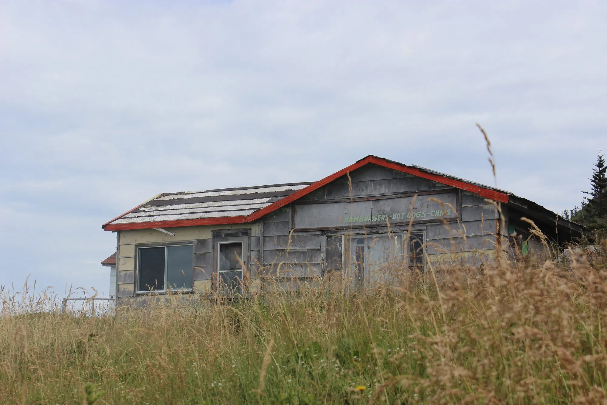
No photo yet. Walked it? Send yours.
2.4 km loop, 120 m of climb, 110 km by road from Gander airport. Conditions on the day are local knowledge we don’t have: walk it and tell us. How we measure
Measured September 4, 2026. Trailhead: OpenStreetMap way/1006519655 — the path's mapped start. Planning only: not live and not for navigation; trails and conditions change. Terms