Trail · from Gander (YQX)
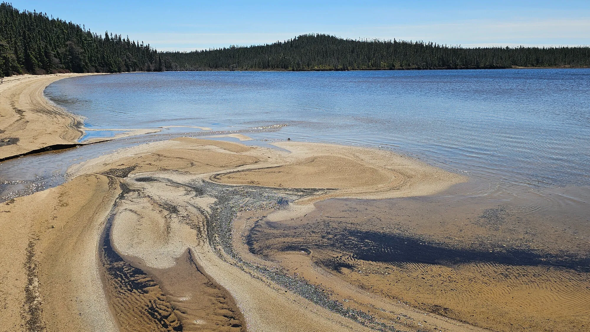
Sandy Pond Trail
Scan with your phone to open this page there. Then tap Keep for offline before you lose signal.
- Length
- 3 km loop
- Parks Canada's figure for the whole loop.
- Our mapped line reads 3.2 km; a mapped line under-reads a winding path, so the figure above is Parks Canada's.
- Climbing
- 60 m
- Every up added together; the highest point is 103 m.
- To the trailhead
- 88 km
Type of trail
Loop
You finish where you started without walking any of it twice.
Source: Parks Canada, “Length/Distance: 3 km loop”.
easyRated on the whole walk: 3 km round, about 60 m of climbing. How
Access: the rating measures effort only. Surface isn't recorded for most of it. Step-free access isn't recorded; ask the park before you go.
Drive: 88.4 km from the Gander (YQX) terminal to the trailhead — not the town. OSRM driving profile, terminal door to the trailhead, checked 2026-10-11.
The trail, measured
Sandy Pond Trail: the mapped path is 3.2 km with 60 m of climbing, from 78 m up to 103 m.
Every cited segment →
OpenStreetMap way/500803241 + way/500803246 + way/500803238 + way/500803237 + way/500803244 + way/500803243 + way/500803247 + way/500803242 + way/500803240 + way/500803239 (Geofabrik extract of 2026-09-20, Overpass being down); elevation from AWS Open Data Terrarium tiles (z14), sampled ~30 m, ascent over a 3 m noise threshold; measured 2026-10-11.
Check today's conditions before you go →
Use another map app
Apple Maps · Google Maps · Organic Maps · OsmAnd (both work offline, no tracking) · WazeTake it on your phone or watch
Only useful with a hiking app or a GPS watch. Just heading to the start? Use the directions above.
Save the track for a hiking or watch app (GPX)- Garmin: import it as a Course in Garmin Connect, then send it to your watch.
- Apple Watch: open it in a route app that runs on the watch, such as WorkOutDoors or Footpath.
- Suunto, COROS, Polar: import it as a route in the watch's app, then sync.
- Phone, offline: open it in Organic Maps or OsmAnd and download the map area before you lose signal.
Just a file: no account, nothing tracked.
No recorded track yet.Walked it? Send yours →
Getting here
- 88 km from Gander to the trailhead.
The measured drive is YQX → Terra Nova — 4 stops on it, with the road numbers, the surface and where to eat along it.
No photo yet. Walked it? Send yours.
3.2 km of mapped path with 60 m of climb in total. The trailhead is 88 km by road from Gander airport. The numbers come from the map. Parks Canada reports how the path is on the day; their page is linked above.
The full drive from Gander (YQX), with stops and moose notes →
Measured October 11, 2026. Trailhead: Parks Canada's trailhead GPS (48 29 33 N, 54 1 11 W), on the mapped loop round Sandy Pond.