Where can I get to?
Gander, Deer Lake, St. John's, Port aux Basques, and Argentia serve this region — and which one is nearest is not a matter of opinion. Every destination below is measured from each of them, so “which door do I arrive at” is a question with an answer.
Sorted by the nearer door. Pick one to re-sort by that door alone.
Portugal Cove ferry terminal
St. John's (YYT) is nearer by 4h 16m
- From St. John's (YYT)
- 15 min · 10.6 km · then a ferry — directions
- From Gander (YQX)
- 4h 31m · 338 km — directions (the YYT page)
- From Deer Lake (YDF)
- 8h 19m · 641 km — directions (the YYT page)
Cape Spear
St. John's (YYT) is nearer by 4h 6m
- From St. John's (YYT)
- 34 min · 23.5 km — directions
- From Gander (YQX)
- 4h 40m · 346 km — directions (the YYT page)
- From Deer Lake (YDF)
- 8h 28m · 649 km — directions (the YYT page)
Codroy Valley
Port aux Basques (ferry) is nearer by 2h 36m
The west coast's great bird water — a sheltered estuary under the Long Range, half an hour from the ferry.
- From Port aux Basques (ferry)
- 34 min · 40.2 km — directions
- From Deer Lake (YDF)
- 3h 10m · 245.2 km — directions (the PAB page)
- From Gander (YQX)
- 6h 58m · 548.5 km — directions (the PAB page)
Marble Mountain (Steady Brook)
Deer Lake (YDF) is nearer by 3h 48m
The ski hill 39 minutes from the YDF terminal door — the shortest headline drive on the site, and the clearest Deer Lake-wins case of all.
- From Deer Lake (YDF)
- 39 min · 47.3 km — directions
- From Gander (YQX)
- 4h 27m · 350.5 km — directions (the YDF page)
Witless Bay
St. John's (YYT) is nearer by 3h 24m
- From St. John's (YYT)
- 46 min · 45.6 km — directions
- From Gander (YQX)
- 4h 10m · 316 km — directions (the YYT page)
- From Deer Lake (YDF)
- 7h 59m · 619 km — directions (the YYT page)
Corner Brook
Deer Lake (YDF) is nearer by 3h 48m
The west coast's city, 47 minutes down the Humber Valley, with Captain Cook's lookout above the Arm.
- From Deer Lake (YDF)
- 47 min · 56.9 km — directions
- From Gander (YQX)
- 4h 35m · 360.1 km — directions (the YDF page)
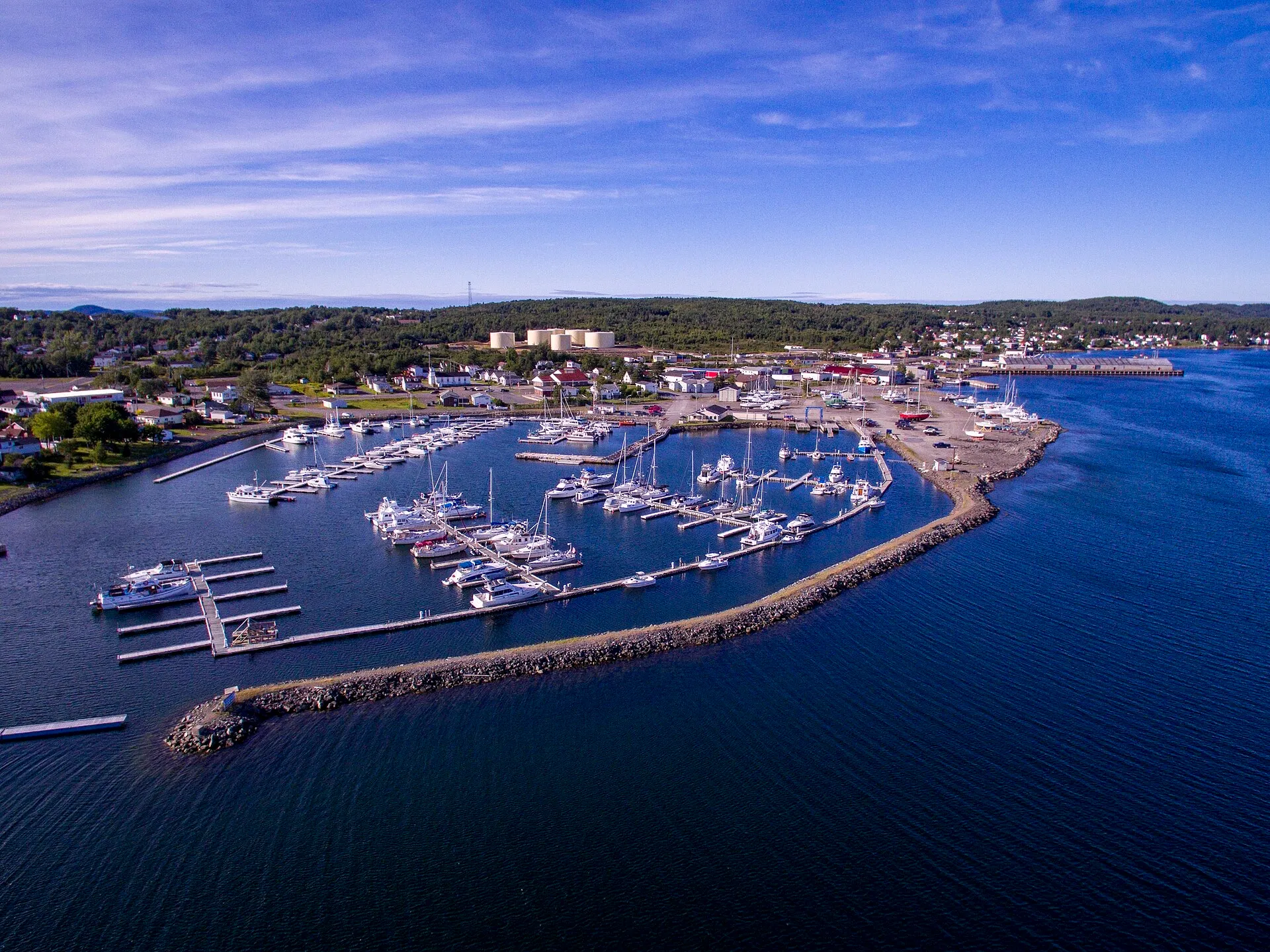
Lewisporte
Gander (YQX) is nearer by 2h 40m
On the water, and the usual suggestion for a base on this coast.
- From Gander (YQX)
- 53 min · 63 km — directions
- From Deer Lake (YDF)
- 3h 33m · 275.7 km — directions (the YQX page)
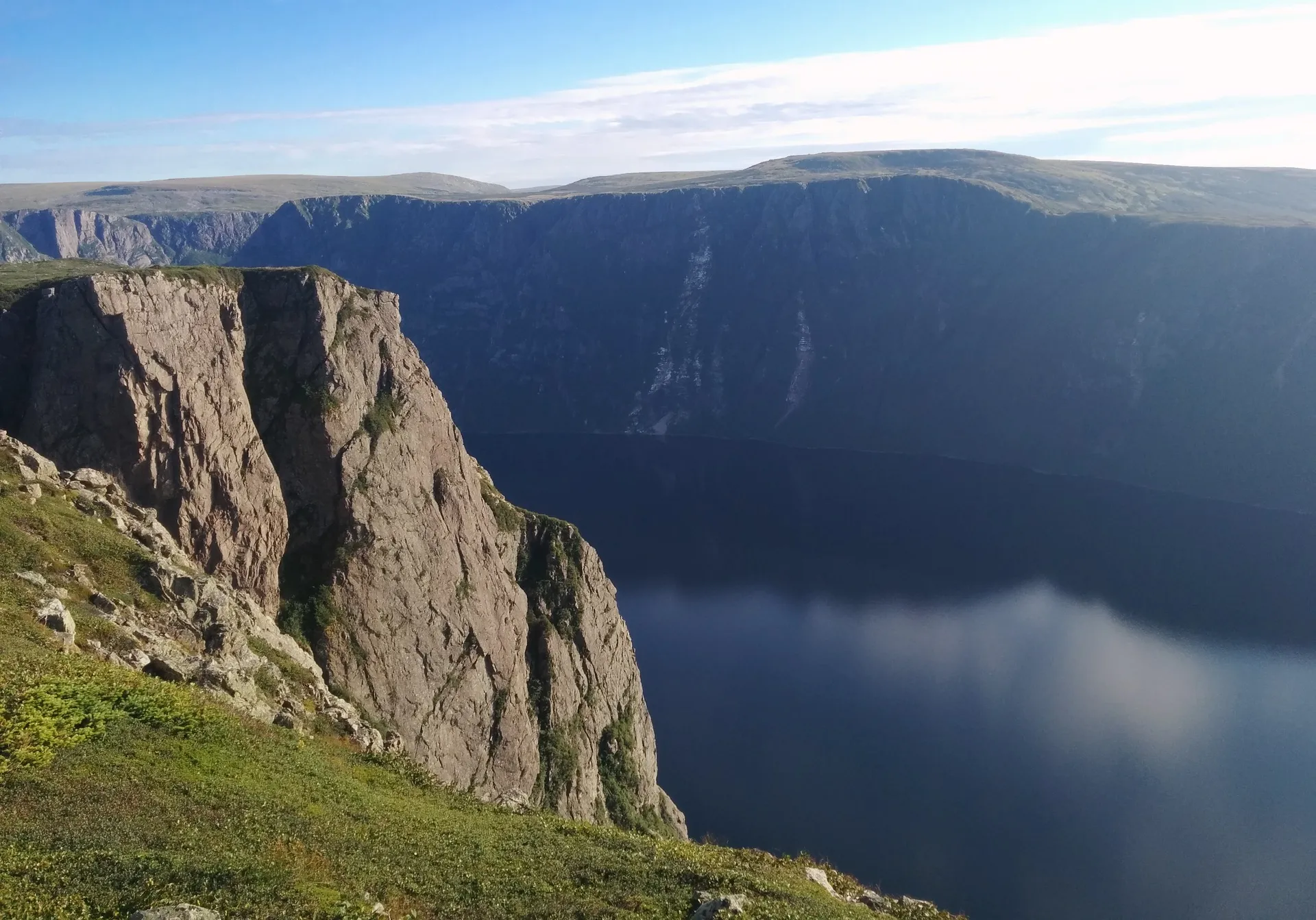
Rocky Harbour
Deer Lake (YDF) is nearer by 3h 48m
The base most Gros Morne visitors use.
- From Deer Lake (YDF)
- 55 min · 72 km — directions
- From Gander (YQX)
- 4h 43m · 375.3 km — directions (the YDF page)
Salmonier Nature Park
St. John's (YYT) is nearer by 2h 53m
- From St. John's (YYT)
- 57 min · 68.1 km — directions
- From Gander (YQX)
- 3h 50m · 291 km — directions (the YYT page)
- From Deer Lake (YDF)
- 7h 38m · 595 km — directions (the YYT page)
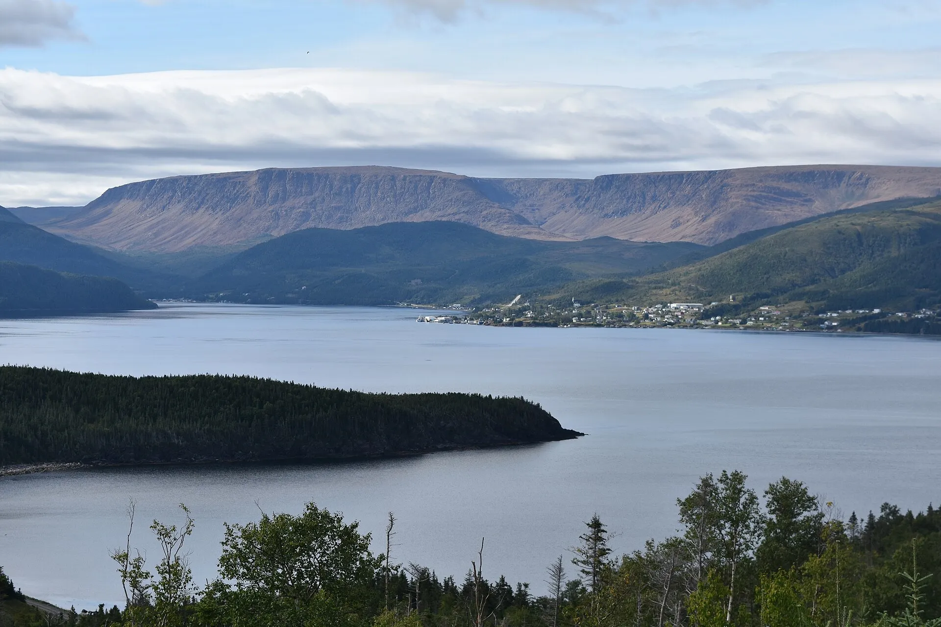
Woody Point (south Gros Morne)
Deer Lake (YDF) is nearer by 3h 48m
The Tablelands side of the park — a different turn at Wiltondale, and no closer from Rocky Harbour.
- From Deer Lake (YDF)
- 58 min · 67.2 km — directions
- From Gander (YQX)
- 4h 46m · 370.5 km — directions (the YDF page)
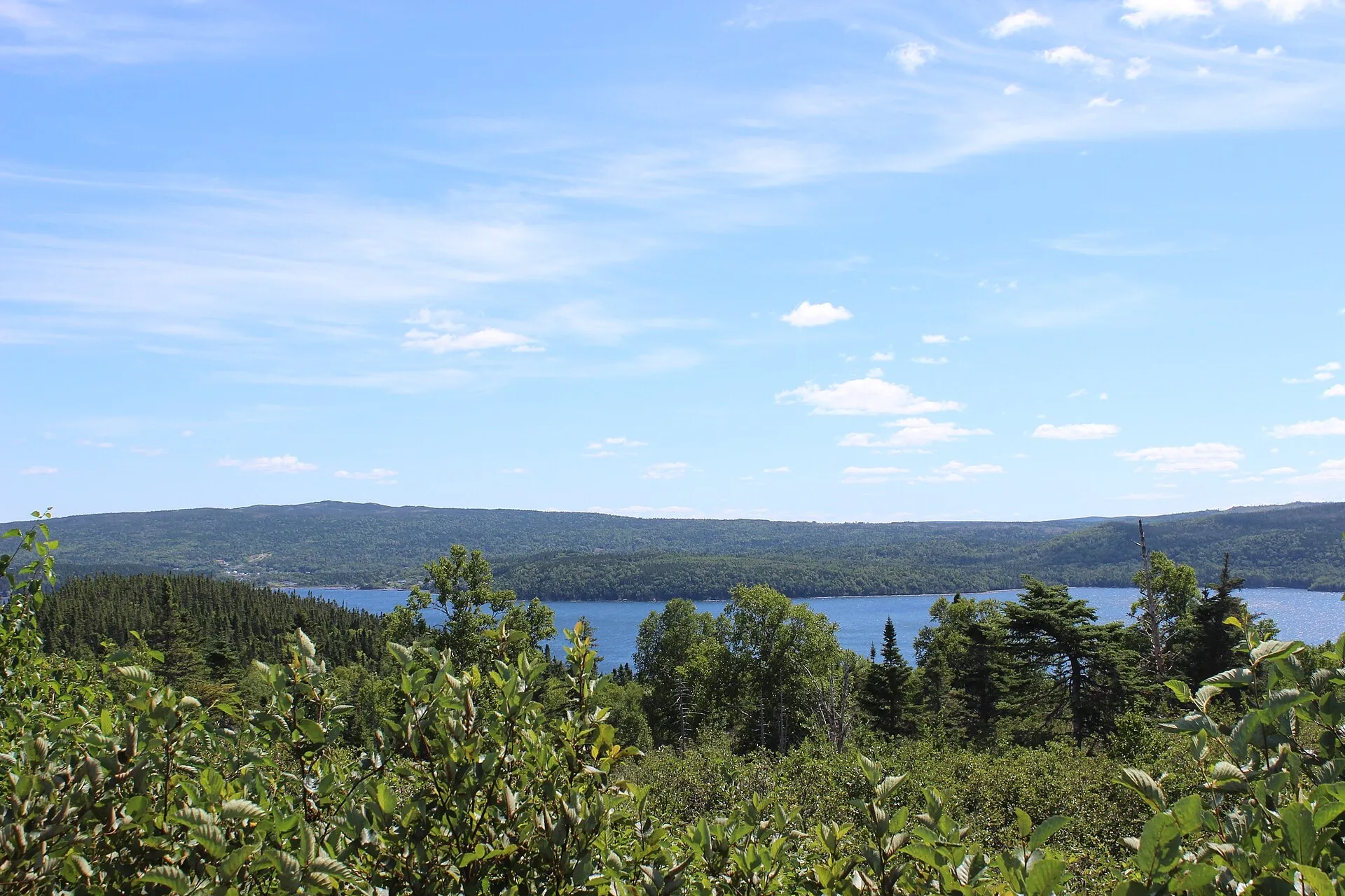
Terra Nova National Park
Gander (YQX) is nearer by 3h 48m
The closest national park to any airport here — an hour from Gander, and no season to plan around.
- From Gander (YQX)
- 1h 3m · 77.8 km — directions
- From Deer Lake (YDF)
- 4h 51m · 380.9 km — directions (the YQX page)
Brigus
St. John's (YYT) is nearer by 2h 38m
- From St. John's (YYT)
- 1h 9m · 75 km — directions
- From Gander (YQX)
- 3h 47m · 280 km — directions (the YYT page)
- From Deer Lake (YDF)
- 7h 35m · 583 km — directions (the YYT page)
Cape St. Mary's Ecological Reserve
Argentia (ferry) is nearer by 1h 34m
- From Argentia (ferry)
- 1h 13m · 71.2 km — directions
- From St. John's (YYT)
- 2h 47m · 176.5 km — directions
- From Gander (YQX)
- 4h 52m · 354 km — directions (the ARG page)
- From Deer Lake (YDF)
- 8h 40m · 657 km — directions (the ARG page)
Dover (the Dover Fault)
Gander (YQX) is nearer by 3h 49m
The seam where two ancient continents meet, with a mapped interpretation centre and trail — YQX's geology drive.
- From Gander (YQX)
- 1h 15m · 72.5 km — directions
- From Deer Lake (YDF)
- 5h 4m · 375.7 km — directions (the YQX page)
Botwood
Gander (YQX) is nearer by 1h 53m
Where the transatlantic flying boats landed — the half of Gander's story that predates the runway.
- From Gander (YQX)
- 1h 15m · 92.1 km — directions
- From Deer Lake (YDF)
- 3h 8m · 242.2 km — directions (the YQX page)
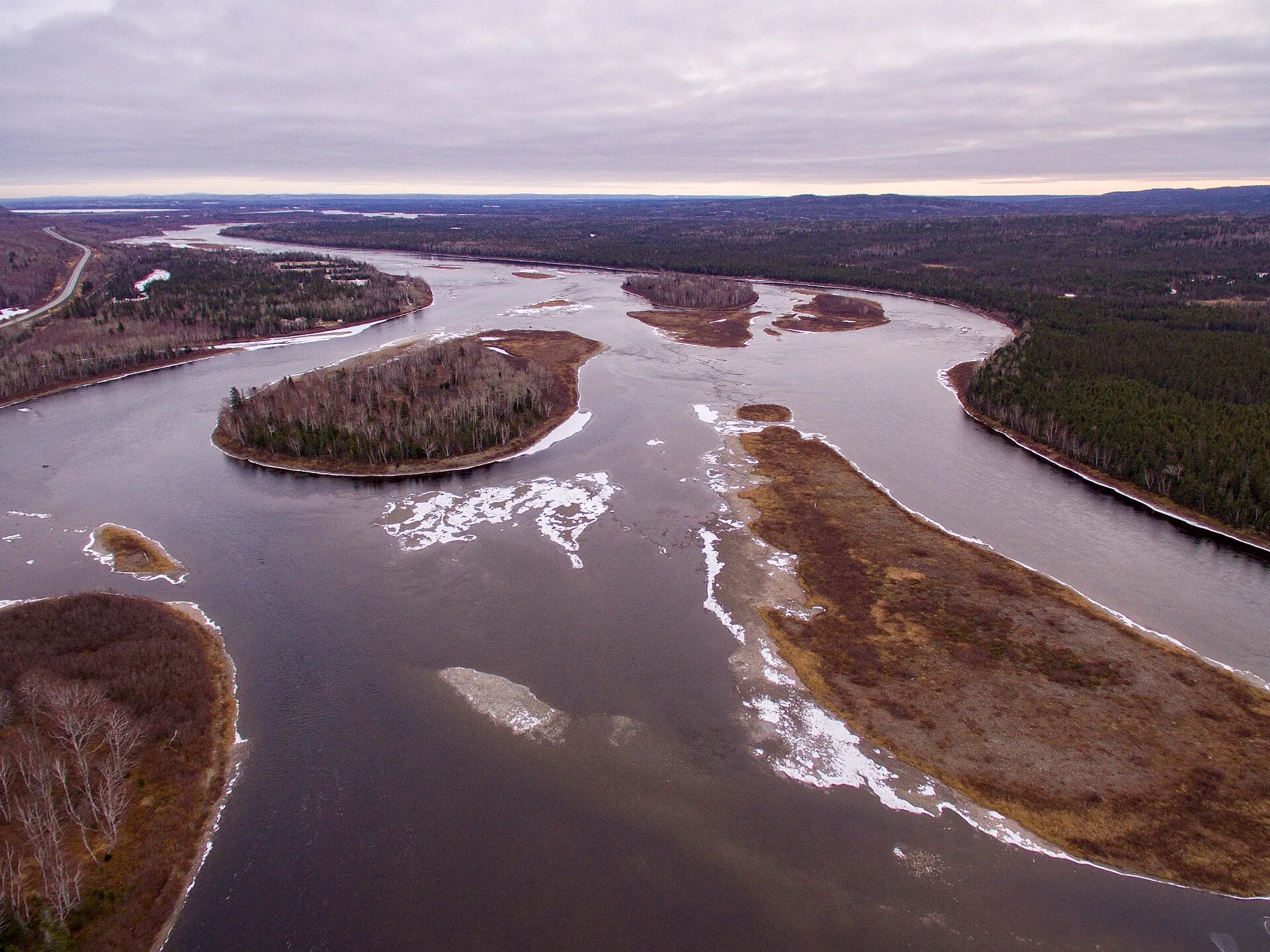
Grand Falls-Windsor
Gander (YQX) is nearer by 1h 25m
The largest town between the two airports, and the one place you can assume is open.
- From Gander (YQX)
- 1h 17m · 98.3 km — directions
- From Deer Lake (YDF)
- 2h 42m · 211.2 km — directions (the YQX page)
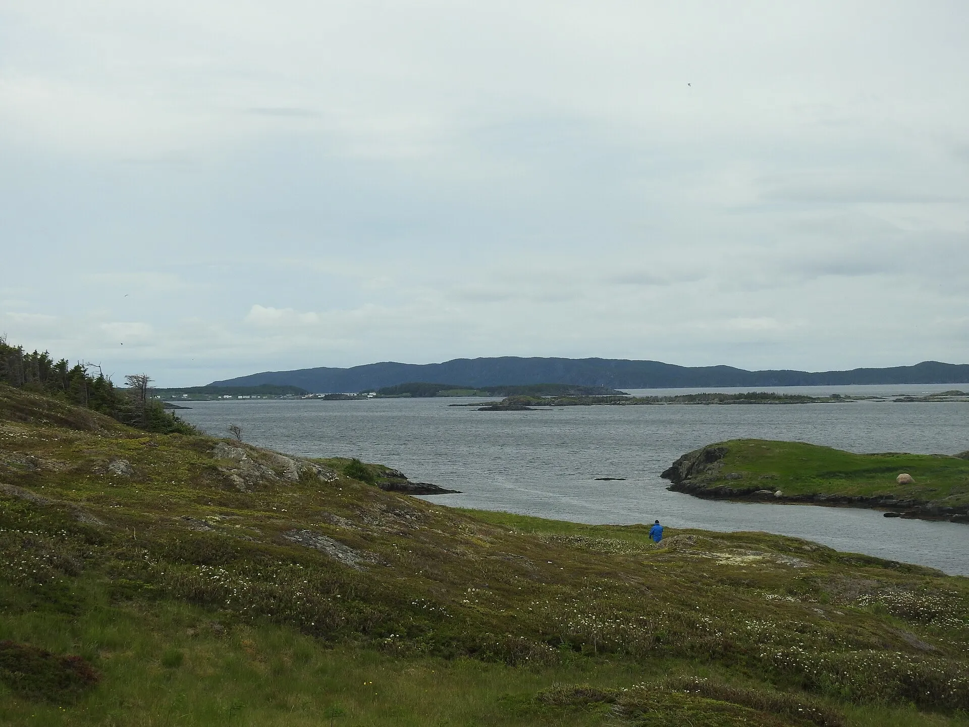
St. Brendan's
Gander (YQX) is nearer by 3h 48m
Nearer to Gander than Twillingate is, and reached by the longest crossing on the site.
- From Gander (YQX)
- 1h 19m · 94.3 km · then a ferry — directions
- From Deer Lake (YDF)
- 5h 7m · 397.4 km — directions (the YQX page)
Salvage (Eastport peninsula)
Gander (YQX) is nearer by 3h 49m
Named, mapped sand directly on the road, ending at one of the coast's oldest fishing villages — YQX's short sea-and-sand drive.
- From Gander (YQX)
- 1h 21m · 97.3 km — directions
- From Deer Lake (YDF)
- 5h 10m · 400.4 km — directions (the YQX page)
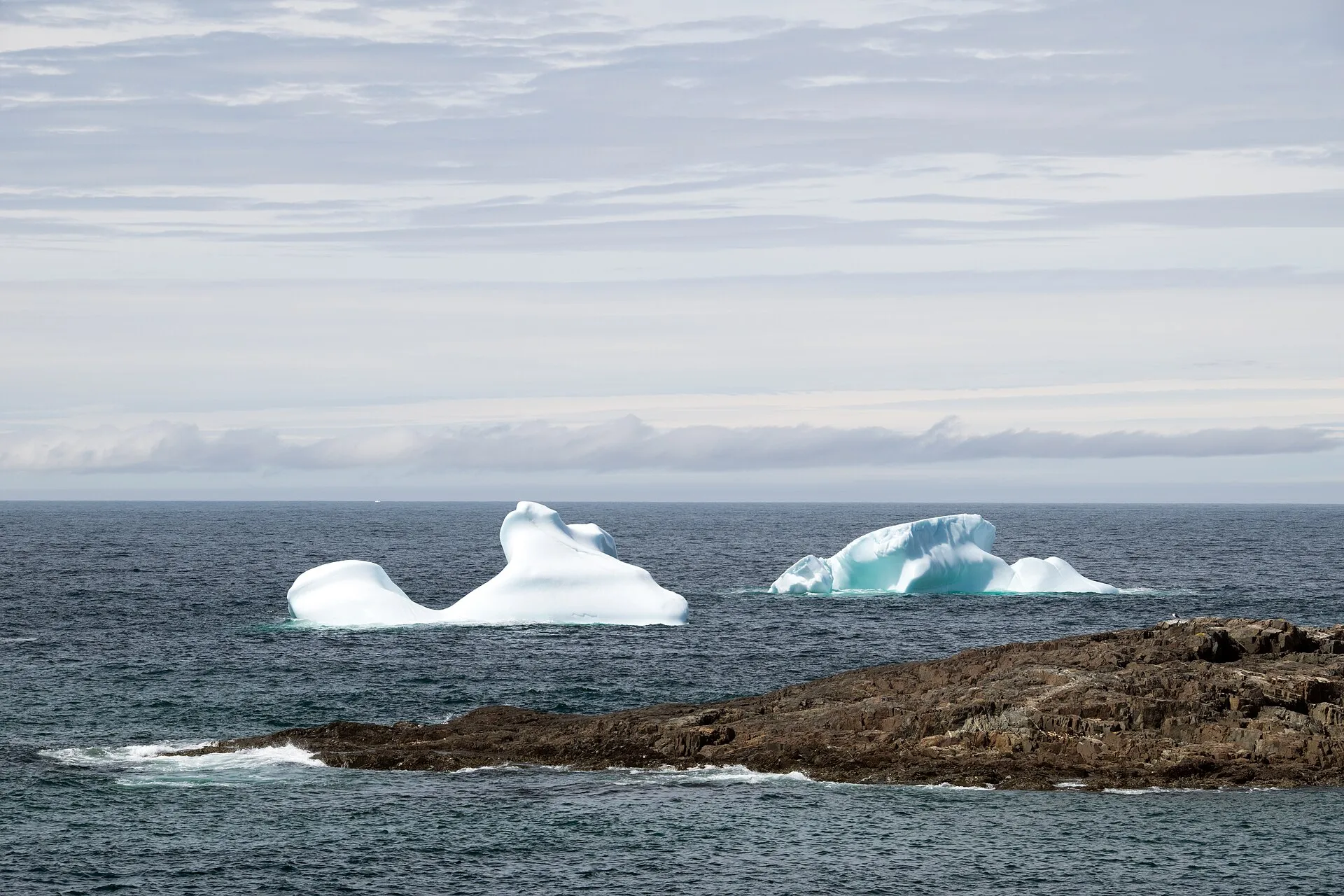
Fogo Island
Gander (YQX) is nearer by 3h 14m
Reached by ferry from the Farewell terminal.
- From Gander (YQX)
- 1h 21m · 86.3 km · then a ferry — directions
- From Deer Lake (YDF)
- 4h 35m · 342.4 km — directions (the YQX page)
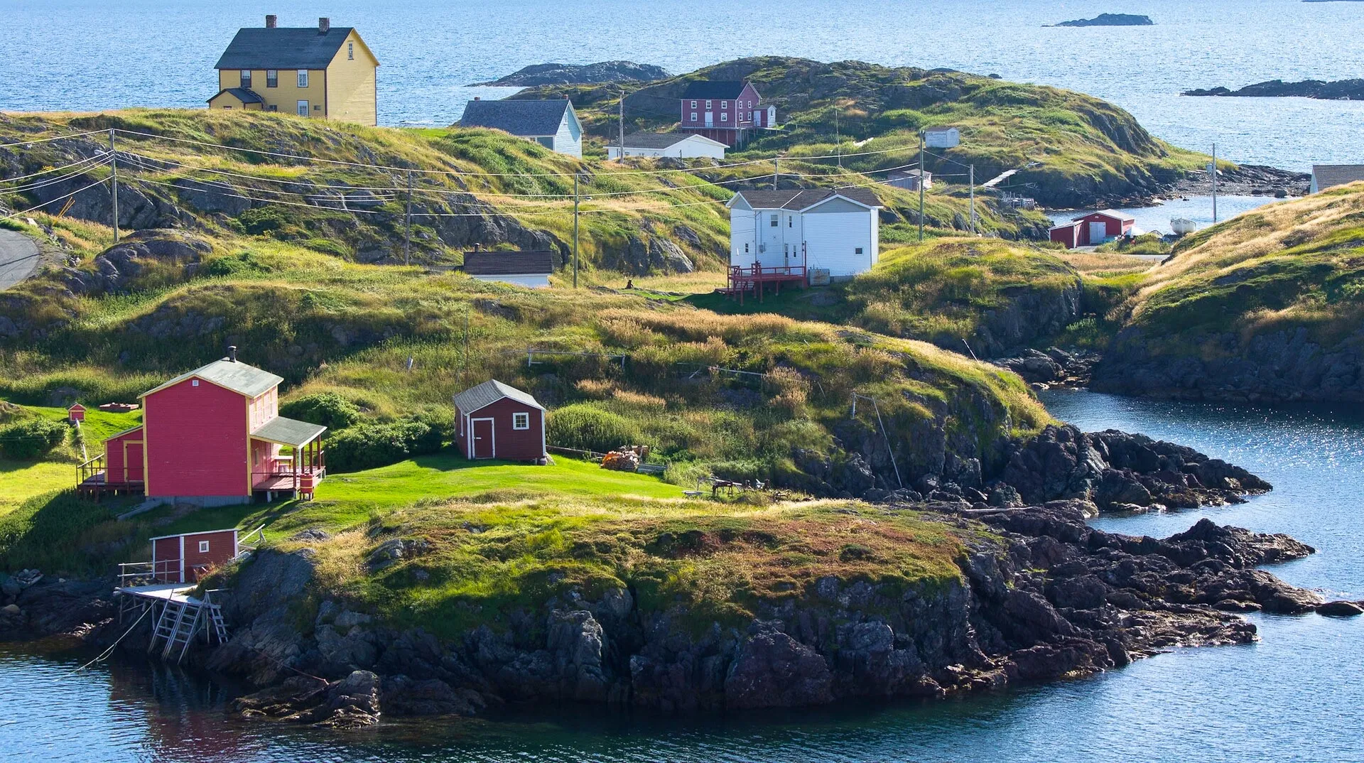
Change Islands
Gander (YQX) is nearer by 3h 14m
Reached by ferry from the Farewell terminal; the nearer call.
- From Gander (YQX)
- 1h 21m · 86.3 km · then a ferry — directions
- From Deer Lake (YDF)
- 4h 35m · 342.4 km — directions (the YQX page)
Ferryland
St. John's (YYT) is nearer by 3h 24m
- From St. John's (YYT)
- 1h 24m · 86 km — directions
- From Gander (YQX)
- 4h 48m · 357 km — directions (the YYT page)
- From Deer Lake (YDF)
- 8h 36m · 660 km — directions (the YYT page)
Harbour Grace
St. John's (YYT) is nearer by 2h 33m
- From St. John's (YYT)
- 1h 24m · 107.5 km — directions
- From Gander (YQX)
- 3h 57m · 298 km — directions (the YYT page)
- From Deer Lake (YDF)
- 7h 45m · 601 km — directions (the YYT page)
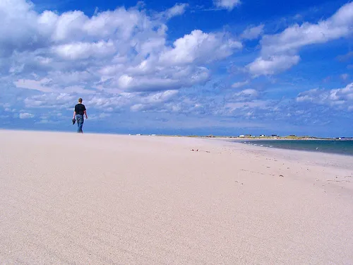
Musgrave Harbour (Straight Shore)
Gander (YQX) is nearer by 3h 51m
Kilometres of mapped sandy beach on the coast that faces the Alley — the clearest Gander-wins drive on the site.
- From Gander (YQX)
- 1h 25m · 90.8 km — directions
- From Deer Lake (YDF)
- 5h 16m · 394.8 km — directions (the YQX page)
Cow Head (northern Gros Morne)
Deer Lake (YDF) is nearer by 3h 48m
The park's quieter northern shore: Shallow Bay's sand, the Ethie's bones, The Arches thirteen minutes onward.
- From Deer Lake (YDF)
- 1h 36m · 118.5 km — directions
- From Gander (YQX)
- 5h 24m · 421.7 km — directions (the YDF page)
Placentia
St. John's (YYT) is nearer by 2h 2m
- From St. John's (YYT)
- 1h 43m · 132.4 km — directions
- From Gander (YQX)
- 3h 45m · 290 km — directions (the YYT page)
- From Deer Lake (YDF)
- 7h 33m · 593 km — directions (the YYT page)
King's Point
Deer Lake (YDF) is nearer by 57 min
The closest call on this list — under an hour between the two airports.
- From Deer Lake (YDF)
- 1h 45m · 132.7 km — directions
- From Gander (YQX)
- 2h 42m · 207.2 km — directions (the YDF page)
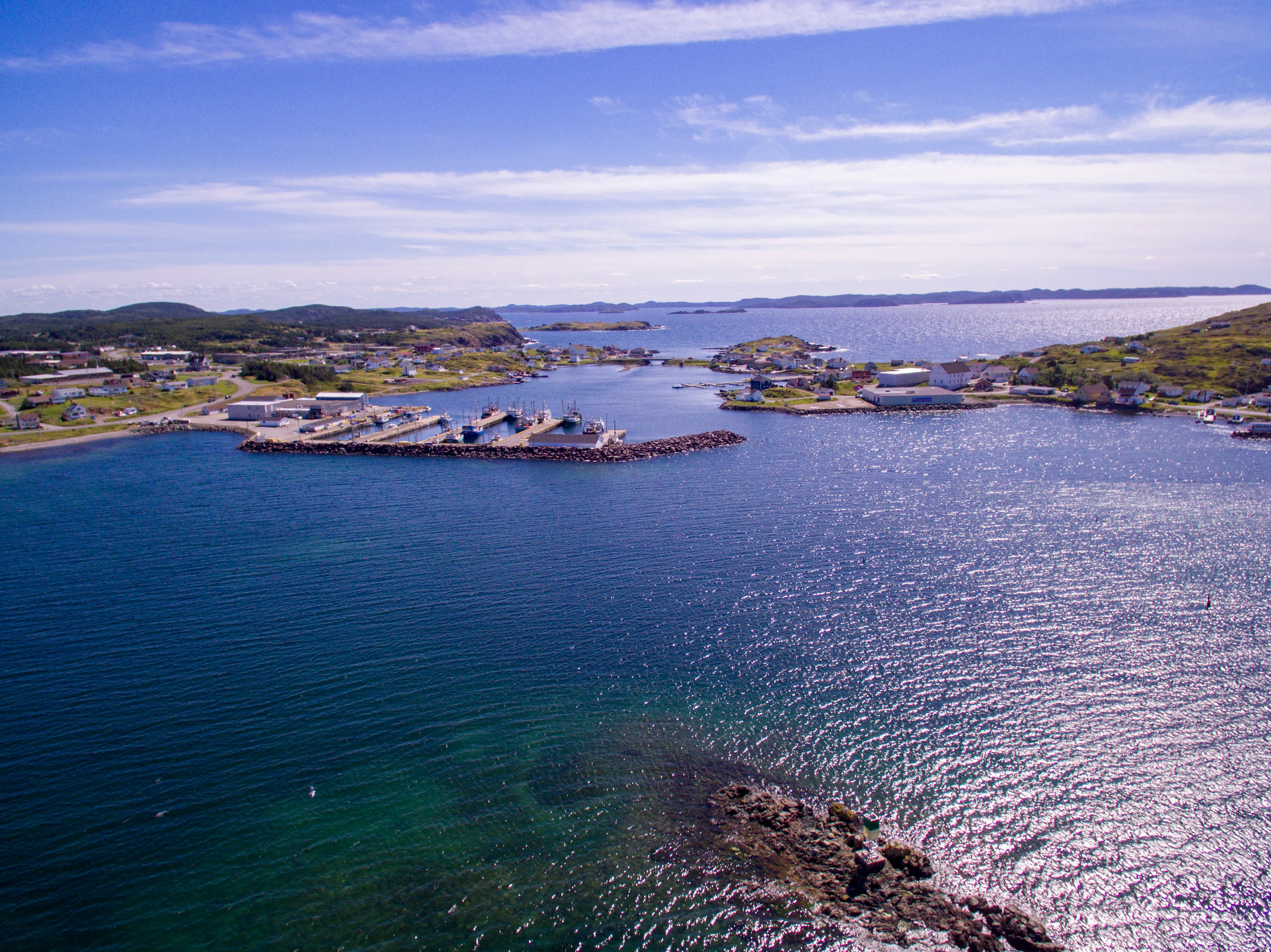
Twillingate
Gander (YQX) is nearer by 3h 4m
The iceberg headline, and the shortest drive from Gander.
- From Gander (YQX)
- 1h 48m · 113.8 km — directions
- From Deer Lake (YDF)
- 4h 52m · 360.3 km — directions (the YQX page)
Heart's Content
St. John's (YYT) is nearer by 2h 21m
- From St. John's (YYT)
- 1h 49m · 132.2 km — directions
- From Gander (YQX)
- 4h 10m · 308 km — directions (the YYT page)
- From Deer Lake (YDF)
- 7h 58m · 612 km — directions (the YYT page)
New-Wes-Valley (Barbour coast)
Gander (YQX) is nearer by 3h 48m
Wesleyville's amalgamated shore, with the bridge-stitched islands of Newtown at the end of the spur.
- From Gander (YQX)
- 1h 56m · 118.5 km — directions
- From Deer Lake (YDF)
- 5h 44m · 421.7 km — directions (the YQX page)
Clarenville
Gander (YQX) is nearer by 31 min
- From Gander (YQX)
- 1h 57m · 147.3 km — directions
- From St. John's (YYT)
- 2h 28m · 191.4 km — directions
- From Deer Lake (YDF)
- 5h 45m · 450 km — directions (the YQX page)
Greenspond
Gander (YQX) is nearer by 3h 48m
The causeway island — one of the coast's oldest outports, courthouse museum, Puffin Island light offshore.
- From Gander (YQX)
- 2h 6m · 124.3 km — directions
- From Deer Lake (YDF)
- 5h 54m · 427.4 km — directions (the YQX page)
Leading Tickles (Bay of Exploits)
Gander (YQX) is nearer by 1h 53m
The end of the road up the peninsula that walls the Bay of Exploits — the bay's islands beyond are boat access only.
- From Gander (YQX)
- 2h 10m · 148.4 km — directions
- From Deer Lake (YDF)
- 4h 3m · 298.5 km — directions (the YQX page)
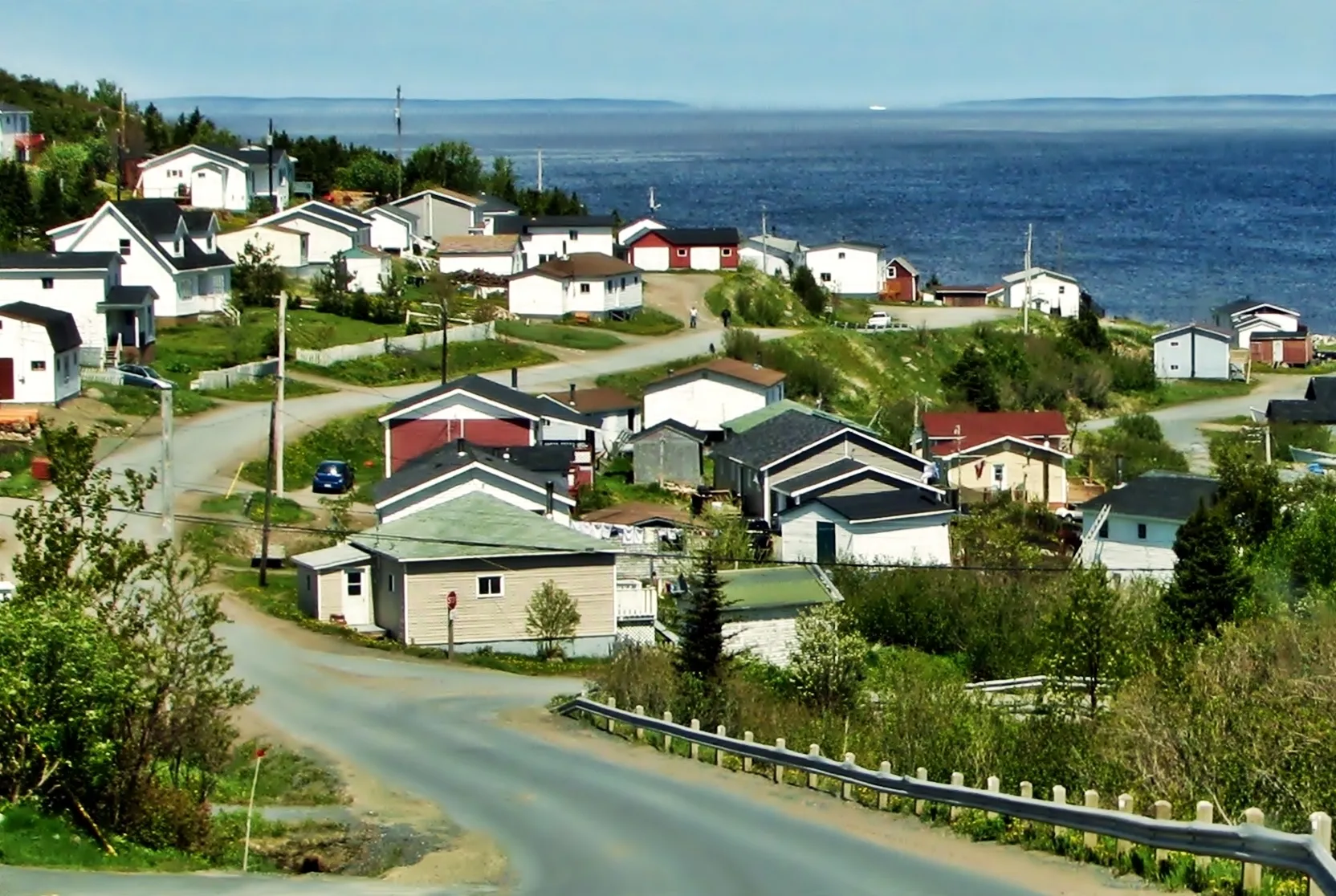
Baie Verte
Deer Lake (YDF) is nearer by 1h 27m
Sits between the two airports, which is why the question comes up.
- From Deer Lake (YDF)
- 2h 16m · 159.3 km — directions
- From Gander (YQX)
- 3h 43m · 274.7 km — directions (the YDF page)
Mistaken Point Interpretation Centre
St. John's (YYT) is nearer by 3h 22m
- From St. John's (YYT)
- 2h 17m · 144.2 km — directions
- From Gander (YQX)
- 5h 39m · 406 km — directions (the YYT page)
- From Deer Lake (YDF)
- 9h 28m · 709 km — directions (the YYT page)
Long Island (Green Bay)
Deer Lake (YDF) is nearer by 37 min
The quietest crossing on the site — a sixteen-car boat over a kilometre of water.
- From Deer Lake (YDF)
- 2h 22m · 171 km · then a ferry — directions
- From Gander (YQX)
- 2h 59m · 220.2 km — directions (the YDF page)
Triton (Green Bay)
Deer Lake (YDF) is nearer by 39 min
Causeway-hopping into the middle of Green Bay; the Sperm Whale Pavilion at the end, Brighton's some-summers ice minutes past it.
- From Deer Lake (YDF)
- 2h 24m · 173.8 km — directions
- From Gander (YQX)
- 3h 3m · 223.9 km — directions (the YDF page)
Trepassey
St. John's (YYT) is nearer by 3h 1m
- From St. John's (YYT)
- 2h 28m · 155.9 km — directions
- From Gander (YQX)
- 5h 29m · 395 km — directions (the YYT page)
- From Deer Lake (YDF)
- 9h 17m · 698 km — directions (the YYT page)
Trinity (Trinity Bay)
Gander (YQX) is nearer by 3h 48m
The saltbox town everyone tells you to see — 2h50 from YQX, pairing with Cape Bonavista for one full peninsula day.
- From Gander (YQX)
- 2h 50m · 200.3 km — directions
- From Deer Lake (YDF)
- 6h 38m · 503.5 km — directions (the YQX page)
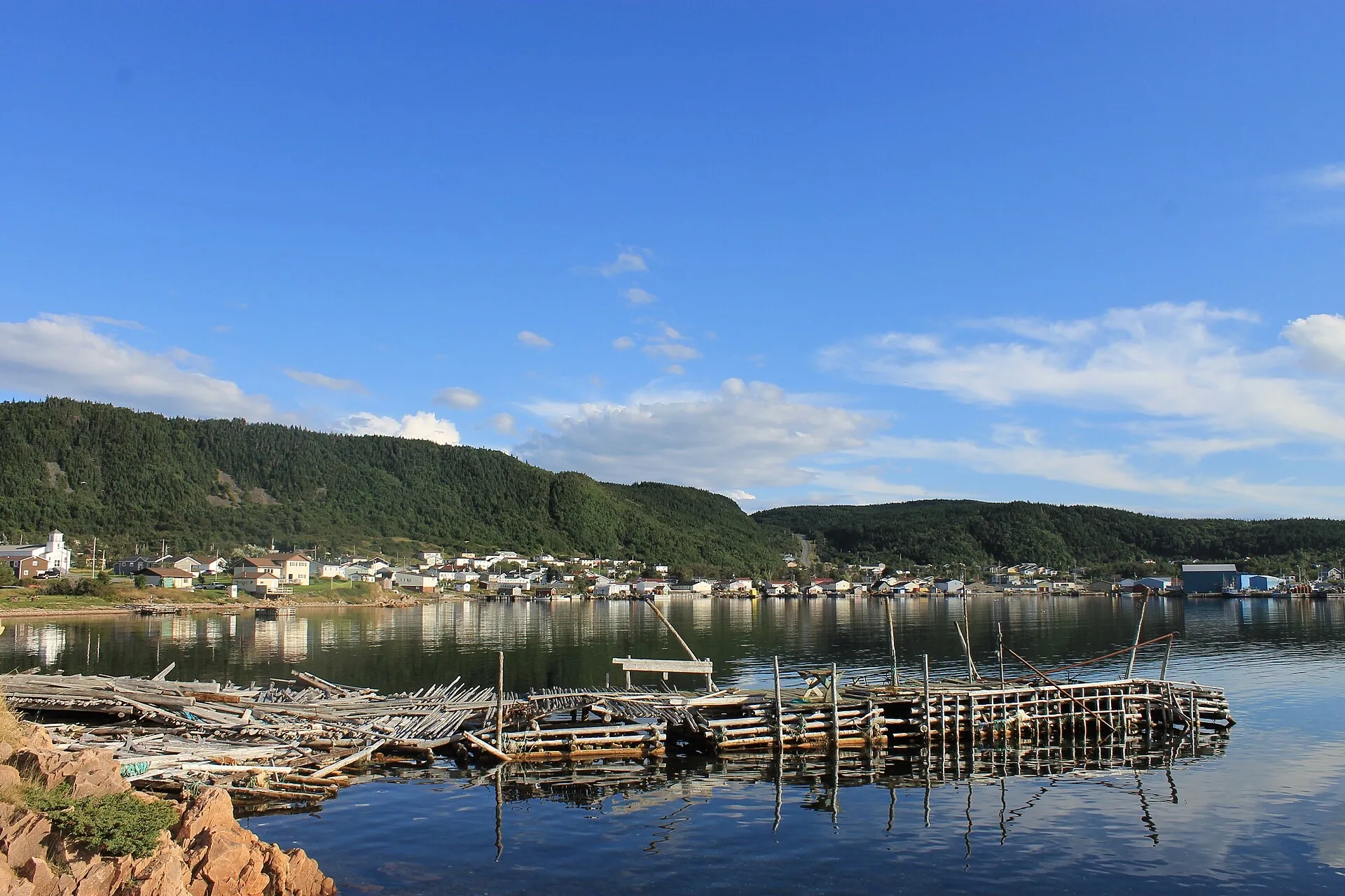
La Scie
Deer Lake (YDF) is nearer by 1h 27m
Out on the Baie Verte Peninsula; one of the province's named iceberg viewing spots.
- From Deer Lake (YDF)
- 3h 1m · 208.3 km — directions
- From Gander (YQX)
- 4h 28m · 323.7 km — directions (the YDF page)
St. Alban's (Bay d'Espoir)
Gander (YQX) is nearer by 1h 50m
The south-coast door — Route 360's long run to the bay; Conne River and the Miawpukek First Nation are on its eastern side.
- From Gander (YQX)
- 3h 27m · 234.9 km — directions
- From Deer Lake (YDF)
- 5h 17m · 368.3 km — directions (the YQX page)
Cape Bonavista (lighthouse)
Gander (YQX) is nearer by 3h 48m
The 1843 light at the road's true end — the Dungeon and Elliston's puffins on the way.
- From Gander (YQX)
- 3h 45m · 247.8 km — directions
- From Deer Lake (YDF)
- 7h 33m · 550.9 km — directions (the YQX page)
Burgeo (the Sandbanks)
Deer Lake (YDF) is nearer by 2h 42m
One of the island's loneliest roads ending at dune-backed south-coast sand — priced honestly at 3h48.
- From Deer Lake (YDF)
- 3h 48m · 265.7 km — directions
- From Gander (YQX)
- 6h 30m · 385.3 km — directions (the YDF page)
Hermitage (Gaultois ferry)
Gander (YQX) is nearer by 1h 49m
Four measured hours to a wharf where a mapped crossing serves Gaultois — a town that has never had a road.
- From Gander (YQX)
- 4h 4m · 276.1 km — directions
- From Deer Lake (YDF)
- 5h 53m · 409.5 km — directions (the YQX page)
Harbour Breton (Coast of Bays)
Gander (YQX) is nearer by 1h 49m
The south coast's principal town at the end of Route 360's long interior commitment — fuel at the turn.
- From Gander (YQX)
- 4h 9m · 280.2 km — directions
- From Deer Lake (YDF)
- 5h 58m · 413.6 km — directions (the YQX page)
L'Anse aux Meadows
Deer Lake (YDF) is nearer by 3h 48m
The Norse site at the island's tip — the full Viking Trail through Gros Morne, and an overnight route by this site's own advice.
- From Deer Lake (YDF)
- 5h 51m · 436.4 km — directions
- From Gander (YQX)
- 9h 39m · 739.7 km — directions (the YDF page)
Between the destinations
The drives people make after the thing they flew in for. The airport is not on the way between two places on this coast, and treating it as a hub costs an hour every time.
Twillingate ↔ Lewisporte
The drive nobody writes down: 91.7 km and about 1h26 between the icebergs and the bay, across the New World Island causeways.
1h 26m · 91.7 km · Routes 340, 341 · same both ways
Lewisporte ↔ Boyd's Cove
Lewisporte to Boyd's Cove: 49.6 km and about 46 minutes on Routes 341 and 340 — where you can sleep, to what the map wants you to see.
46 min · 49.6 km · Routes 341, 340 · same both ways
Rocky Harbour ↔ Twillingate
Coast to coast across Newfoundland: 427.6 km and 5h38 between the two headline destinations — an hour and three quarters longer than the airport pair people assume covers it.
5h 38m · 427.6 km · Routes 430, 1, 340 · same both ways
Baie Verte ↔ La Scie
An hour and a kilometre count between the two ends of the Baie Verte Peninsula: 60.1 km on Routes 410 and 414.
1h 1m · 60.1 km · Routes 410, 414 · same both ways
Drive times are OSRM driving-profile measurements between the airport terminal and the destination, checked on the date each directions page states. Where a destination has a directions page, these figures come from that page — there is only ever one copy of a number on this site. Routing and place data derive from OpenStreetMap contributors, ODbL.
Know a drive we should cover?How routes get accepted — the rules are published, and local knowledge is the part we cannot measure our way to.