Filmed here
Filmed in Newfoundland
Scan with your phone to open this page there. Then tap Keep for offline before you lose signal.
Where the films and shows were shot, which airport to fly into, and the drive from it. Netflix's Below and Frontier come first, spot by spot, then 21 more titles by place.
Netflix maps its own spots, with Street View for each: Netflix in Your Neighbourhood.
Below
Season 1, 6 episodes, 2026 · Source: Netflix in Your Neighbourhood · Wikipedia
A mystery-horror series: a sea creature turns up off a small Newfoundland town, and a fisherman stands between it and his family.
Share it: fromtheairport.xyz/below
Below turns on icebergs. Where and when to see a real one →
Drive them all
Below filming locations: every drive, from St. John's and Gander →One loop from St. John's airport: 249 km of driving, every Avalon spot below in order.
The seventh spot is Twillingate, from Gander: 114 km →
All seven in one trip: fly into St. John's, drive the loop, then on to Twillingate (447 km), and fly home from Gander (114 km away). Plan the days, in at St. John's, out at Gander →
Starting from
From Deer Lake, every spot is 361 km or more. Gander is nearest for Twillingate, 114 km. St. John's is nearest for 6 of 7, all within 72 km.
Every Below location, from every airport
Tap a distance for directions. Green is the closest airport to that spot. → is our route page, ↗ opens your maps app.
| Location | St. John'sYYT | GanderYQX | Deer LakeYDF |
|---|---|---|---|
| Logy Bay, St. John'sOcean Sciences Centre | 10 km↗ | 341 km↗ | 644 km↗ |
| Pouch CoveMarine Park | 23 km↗ | 355 km↗ | 658 km↗ |
| Pouch CovePouch Cove Heritage Society | 25 km↗ | 357 km↗ | 660 km↗ |
| Bay BullsBay Bulls harbour | 40 km→ | 316 km↗ | 619 km↗ |
| Harbour MainRising Tide Convenience | 55 km↗ | 287 km↗ | 591 km↗ |
| Brigus SouthBrigus South harbour | 72 km↗ | 342 km↗ | 645 km↗ |
| Twillingate | 447 km→ | 114 km→ | 361 km→ |
Ocean Sciences Centre
Logy Bay, St. John's644 km from Deer Lake airport (YDF) ↗
341 km from Gander airport (YQX) ↗
10 km from St. John's airport (YYT) ↗
On screen: The marine research lab where Calvin tries to sell the iceberg fragment he caught, in the first episode.
A working Memorial University research station. Netflix's page points visitors to its summer public program, with a touch tank and interpreters.
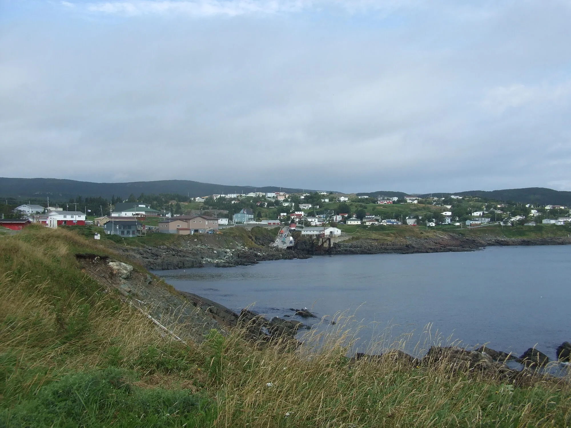
Photograph: Haydn Blackey · CC BY-SA 2.0 Pouch Cove Heritage Society
Pouch Cove660 km from Deer Lake airport (YDF) ↗
357 km from Gander airport (YQX) ↗
25 km from St. John's airport (YYT) ↗
On screen: Fisherman's Hall, where the town meets about the creature.
On the Below drive, with the other Avalon spots →Biscane Cove Trail, trailhead nearby →
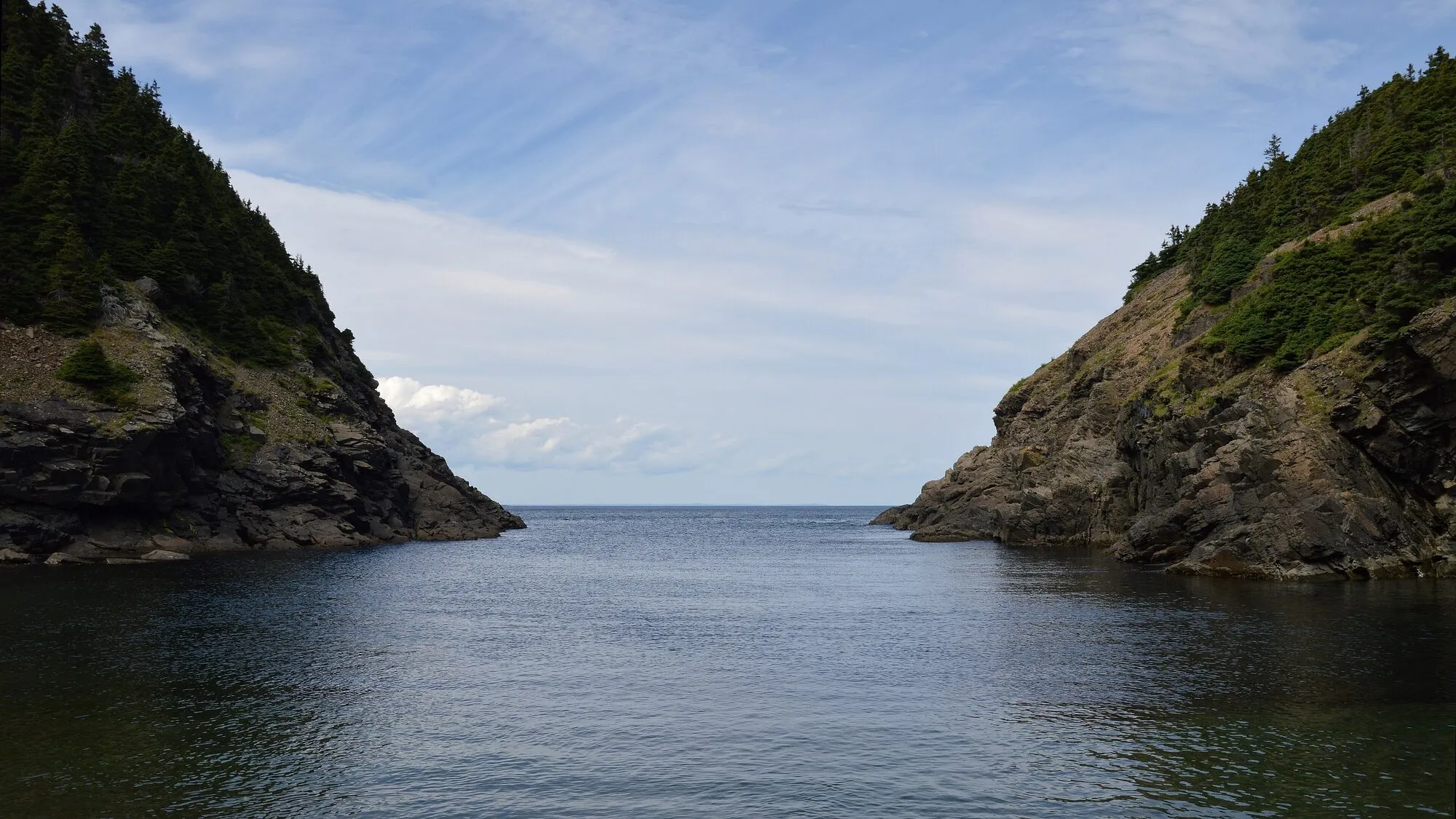
Photograph: Ryan Hodnett · CC BY-SA 4.0 Marine Park
Pouch Cove658 km from Deer Lake airport (YDF) ↗
355 km from Gander airport (YQX) ↗
23 km from St. John's airport (YYT) ↗
On screen: The fish farm where a fisherman first sees something wrong in the water.
Really a campground, with trails, a beach and lakes.
Rising Tide Convenience
Harbour Main591 km from Deer Lake airport (YDF) ↗
287 km from Gander airport (YQX) ↗
55 km from St. John's airport (YYT) ↗
On screen: Its inside became Linda's Bar, where the Penney family meet in episodes one and three.
A convenience store on the Conception Bay Highway. The bar is a set; there is no bar to visit.
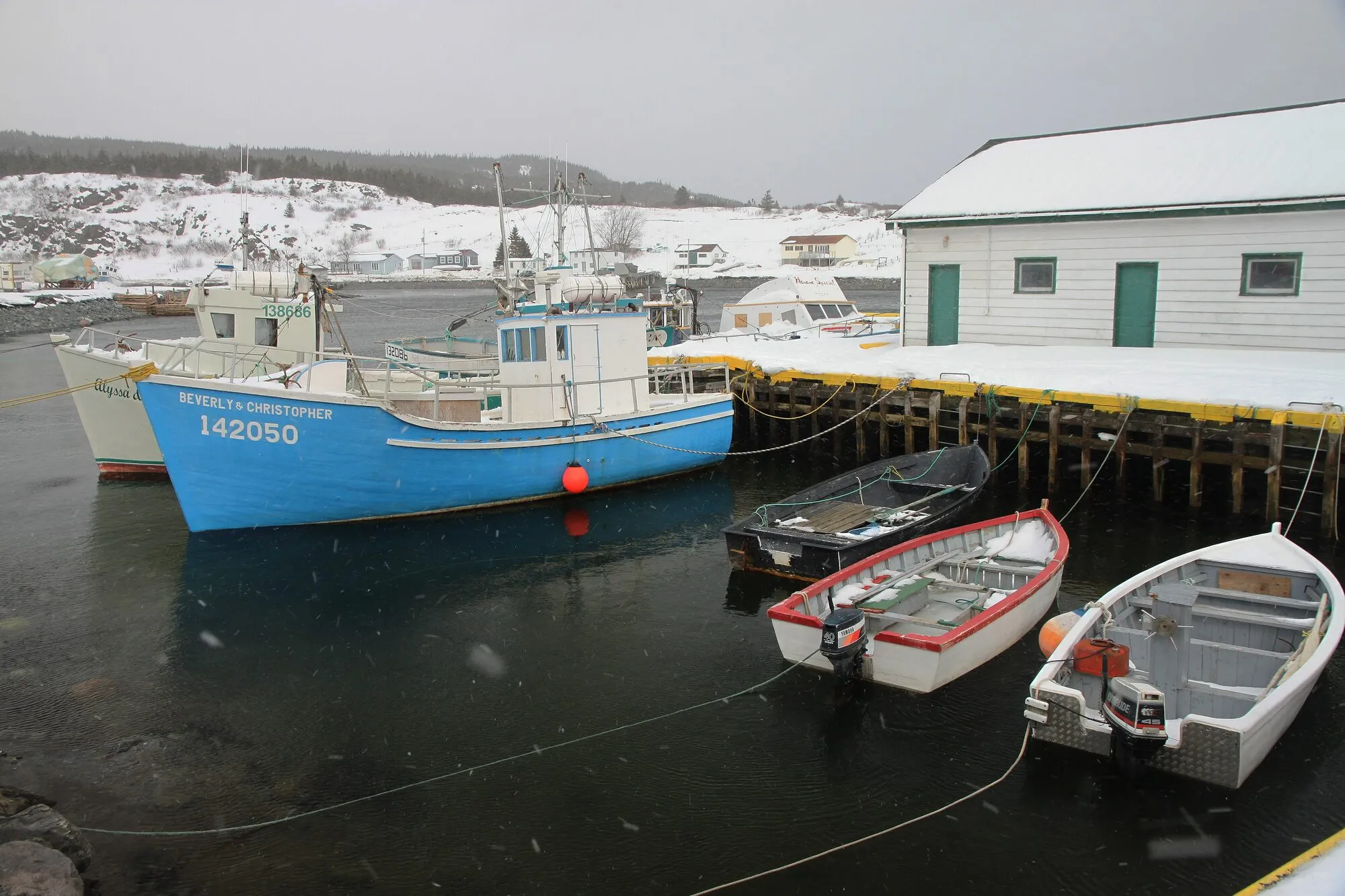
Photograph: Alan Schmierer · CC0 Brigus South harbour
Brigus South645 km from Deer Lake airport (YDF) ↗
342 km from Gander airport (YQX) ↗
72 km from St. John's airport (YYT) ↗
On screen: The Harbour Authority building plays the Harbour Master's Shack, where Ruth works.
On the Below drive, with the other Avalon spots →Brigus Head Path starts here →
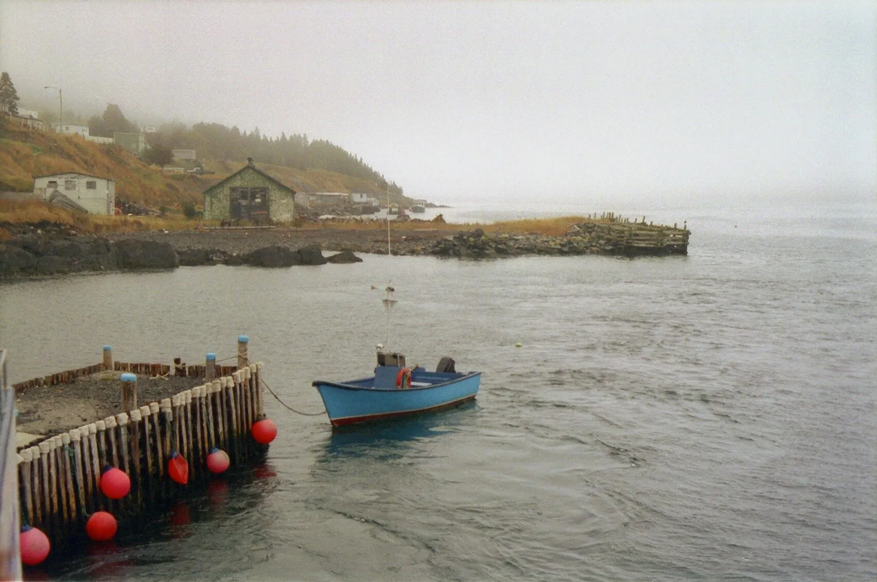
Photograph: Ken Eckert · CC BY-SA 4.0 Bay Bulls harbour
Bay Bulls619 km from Deer Lake airport (YDF) ↗
316 km from Gander airport (YQX) ↗
40 km from St. John's airport (YYT) →
On screen: Wade and Jerry head out at night from the marine base to harvest an iceberg.
The base is a working marine facility. The harbour is what you see.
On the Below drive, with the other Avalon spots →The drive to Bay Bulls and Witless Bay →The Spout Path, from Bay Bulls →
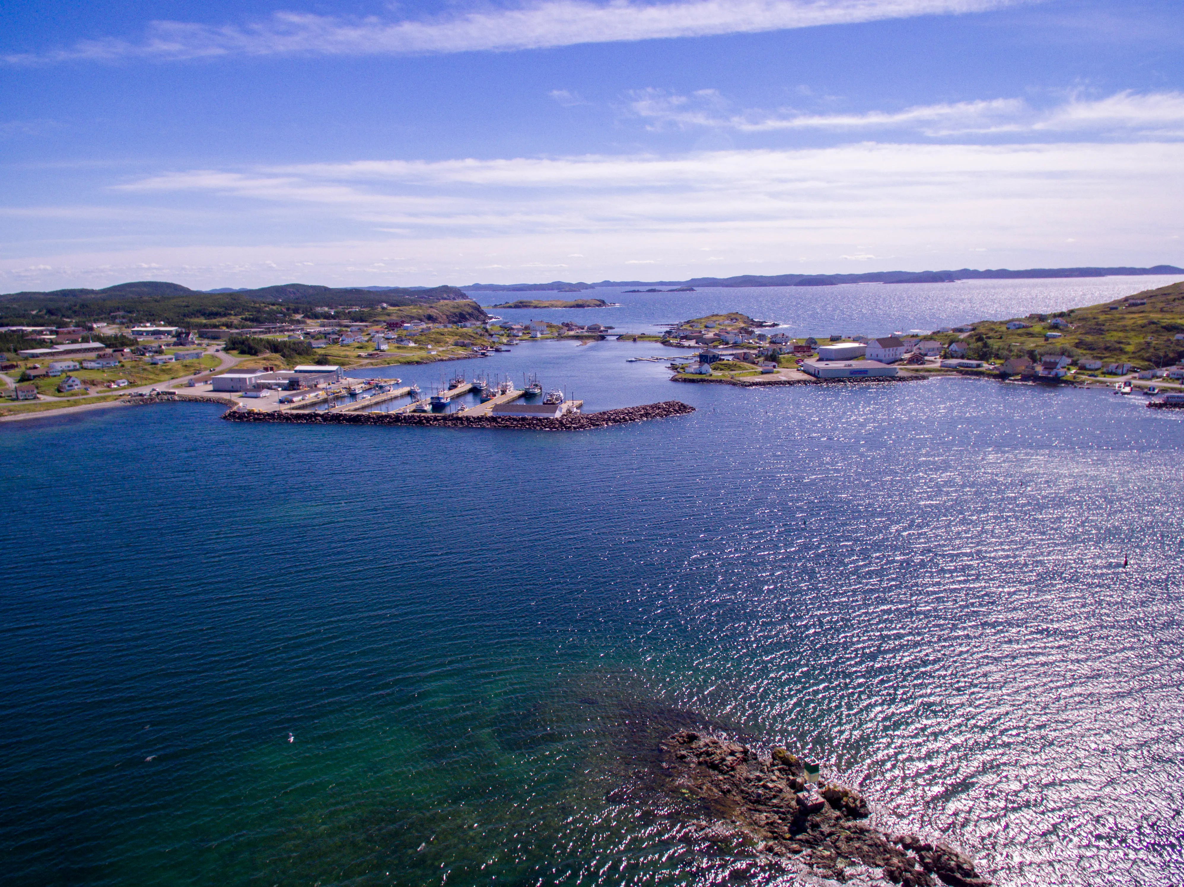
Photograph: Shhewitt · CC BY-SA 4.0 Twillingate
361 km from Deer Lake airport (YDF) →
114 km from Gander airport (YQX) →
447 km from St. John's airport (YYT) →
On screen: The icebergs Calvin goes out after were filmed off Twillingate.
Staying in Twillingate →Icebergs: where and when to see one →

.jpg)
_(5454449111).jpg)


Frontier
3 seasons, 18 episodes, 2016 to 2018 · Source: Netflix in Your Neighbourhood · Wikipedia
A drama of the North American fur trade in the late 1700s.
Share it: fromtheairport.xyz/frontier
Starting from
Deer Lake is nearest for Corner Brook, 57 km. From Gander, every spot is 332 km or more. St. John's is nearest for 3 of 4, all within 10 km.
Every Frontier location, from every airport
Tap a distance for directions. Green is the closest airport to that spot. → is our route page, ↗ opens your maps app.
| Location | St. John'sYYT | Deer LakeYDF | GanderYQX |
|---|---|---|---|
| St. John'sThe Commissariat | 7 km→ | 639 km→ | 336 km→ |
| St. John'sThe O'Brien Farm | 9 km↗ | 635 km↗ | 332 km↗ |
| Logy Bay-Middle Cove-Outer CoveMiddle Cove Beach | 10 km↗ | 645 km↗ | 342 km↗ |
| Corner BrookBackcountry near Corner Brook | 692 km→ | 57 km→ | 361 km→ |
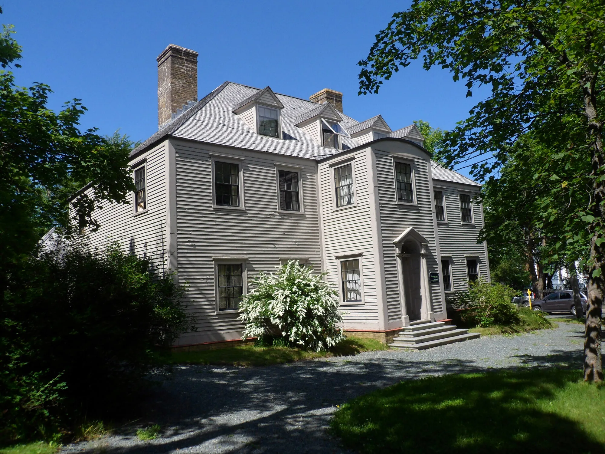
Photograph: Mo Laidlaw · CC BY-SA 3.0 The Commissariat
St. John's639 km from Deer Lake airport (YDF) →
336 km from Gander airport (YQX) →
7 km from St. John's airport (YYT) →
On screen: Its rooms play the governor's residence, and its outside stands in for James Bay.
A historic site from the early 1800s, near the Colonial Building.
The drive to downtown St. John's →North Head Trail, trailhead nearby →
The O'Brien Farm
St. John's635 km from Deer Lake airport (YDF) ↗
332 km from Gander airport (YQX) ↗
9 km from St. John's airport (YYT) ↗
On screen: Period outside shots across the series.
A working family farm about 200 years old, in Freshwater Valley. It runs workshops and events.
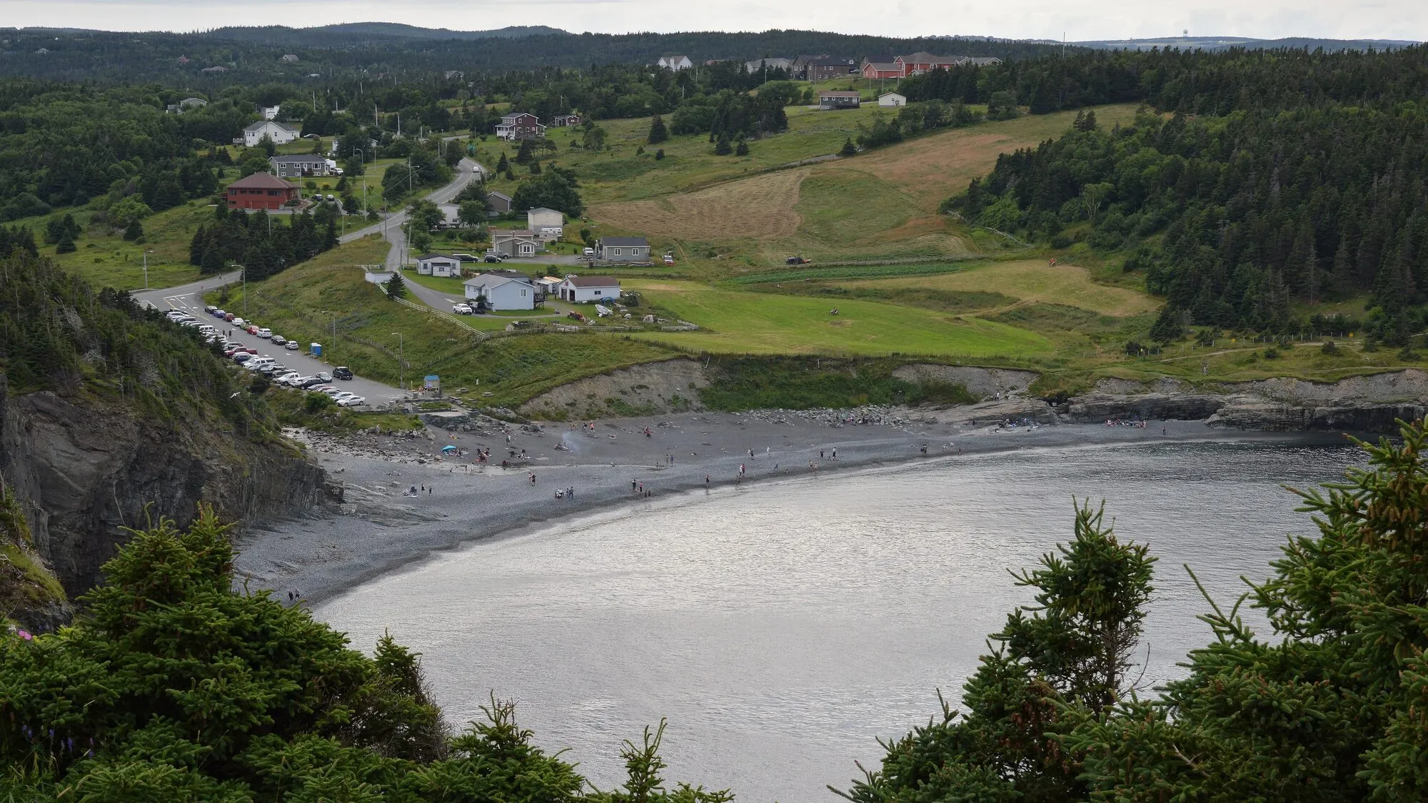
Photograph: Ryan Hodnett · CC BY-SA 4.0 Middle Cove Beach
Logy Bay-Middle Cove-Outer Cove645 km from Deer Lake airport (YDF) ↗
342 km from Gander airport (YQX) ↗
10 km from St. John's airport (YYT) ↗
On screen: Several Season 3 scenes, shot in winter.
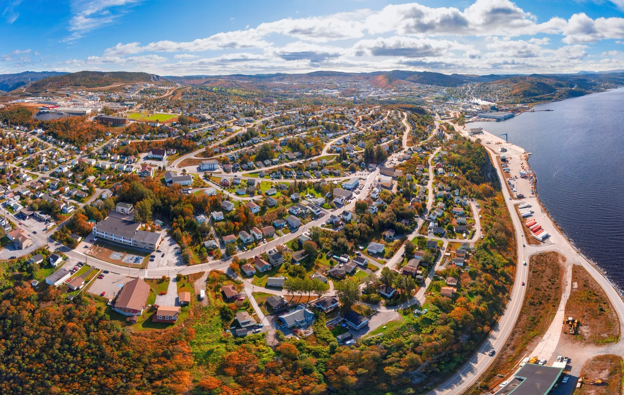
Photograph: ParsonsPhotographyNL · CC BY-SA 4.0 Backcountry near Corner Brook
Corner Brook57 km from Deer Lake airport (YDF) →
361 km from Gander airport (YQX) →
692 km from St. John's airport (YYT) →
On screen: Season 3's winter wilderness, scouted by snowmobile. Netflix does not name the exact spots, so the pin is the city.

.jpg)
.jpg)
More films and shows, by place
From the province's own list, plus any title marked with its own source. Where only a region is named, the pin is the town named below.
Every place, from every airport
Tap a distance for directions. Green is the closest airport to that spot. → is our route page, ↗ opens your maps app.
| Location | St. John'sYYT | GanderYQX | Deer LakeYDF |
|---|---|---|---|
| St. John'sRepublic of Doyle, Hudson & Rex, Astrid & Lilly Save the World, SurrealEstate, Reacher, Love & Savagery, Skeet | 8 km→ | 335 km→ | 638 km→ |
| Petty HarbourAquaman | 20 km↗ | 337 km↗ | 640 km↗ |
| Cape SpearRare Birds | 23 km→ | 346 km↗ | 649 km↗ |
| The GouldsMaudie | 24 km↗ | 330 km↗ | 633 km↗ |
| BrigusRock Solid Builds | 75 km→ | 280 km↗ | 583 km↗ |
| Trinity and Trinity BayThe Shipping News, The Grand Seduction, Random Passage | 261 km↗ | 200 km→ | 503 km↗ |
| New BonaventureThe Shipping News | 273 km↗ | 212 km↗ | 515 km↗ |
| KeelsThe King Tide | 276 km↗ | 215 km↗ | 518 km↗ |
| Bonavista PeninsulaPeter Pan & Wendy, Severance | 303 km↗ | 242 km→ | 545 km↗ |
| Corner Brook and the Bay of IslandsThe Shipping News, Outlander | 692 km→ | 360 km→ | 57 km→ |
St. John's
8 km from St. John's airport (YYT) →
- Republic of Doyle series
- Hudson & Rex series, in and around the city
- Astrid & Lilly Save the World series, most of it
- SurrealEstate series
- Reacher series, season 3, Prime Video
- Love & Savagery film, the city around 1968
- Skeet film, 2024, set in Chalker Place in the east end, with families from the neighbourhood as background actors; shot in 2023 · source: CBC · source: VOCM
Cape Spear
23 km from St. John's airport (YYT) →
- Rare Birds film
Petty Harbour
20 km from St. John's airport (YYT) ↗
- Aquaman film, several scenes and exteriors
The Goulds
24 km from St. John's airport (YYT) ↗
- Maudie film
Brigus
75 km from St. John's airport (YYT) →
- Rock Solid Builds series, reality, in and around Brigus
Trinity and Trinity Bay
200 km from Gander airport (YQX) →
- The Shipping News film
- The Grand Seduction film, Trinity Bay
- Random Passage series, 2002, filmed near Trinity · source: Wikipedia
Keels
215 km from Gander airport (YQX) ↗
- The King Tide film, mainly here
Corner Brook and the Bay of Islands
57 km from Deer Lake airport (YDF) →
- The Shipping News film
- Outlander film, Bay of Islands
Pin: OpenStreetMap node/2437986499, the city.
Also shot in the province, with no place named, so no pin: Hold Fast (film), Caught (series), Son of a Critch (series, filmed entirely in the province).
Below and Frontier: spots, scenes and pins are from Netflix's own filming map, read 2026-10-10; each pin is where its Street View opens. Film and show names link to their Wikipedia articles. Other titles: from the source beside them, or else Newfoundland and Labrador Tourism's list, read the same day; their pins are OpenStreetMap places. Drives are measured from the terminal door to the pin by road, the same way as every drive here.