Worth stopping for
Stephenville
Getting here
To Stephenville from every airport and ferry, measured by road.
Sunrise and sunset at Stephenville, by month
| The 15th | First light | Sunrise | Sunset | Last light |
|---|---|---|---|---|
| Jan | 7:35 am | 8:11 am | 4:55 pm | 5:30 pm |
| Feb | 7:00 am | 7:32 am | 5:44 pm | 6:16 pm |
| Mar | 7:07 am | 7:38 am | 7:28 pm | 7:59 pm |
| Apr | 6:01 am | 6:34 am | 8:14 pm | 8:47 pm |
| May | 5:06 am | 5:43 am | 8:56 pm | 9:34 pm |
| Jun | 4:39 am | 5:21 am | 9:27 pm | 10:09 pm |
| Jul | 4:57 am | 5:37 am | 9:22 pm | 10:02 pm |
| Aug | 5:42 am | 6:17 am | 8:40 pm | 9:15 pm |
| Sep | 6:28 am | 7:00 am | 7:38 pm | 8:10 pm |
| Oct | 7:11 am | 7:43 am | 6:36 pm | 7:08 pm |
| Nov | 6:57 am | 7:32 am | 4:46 pm | 5:20 pm |
| Dec | 7:32 am | 8:09 am | 4:29 pm | 5:06 pm |
Worked out for the 15th of each month at this spot, in local time. First and last light are when the sun is 6° below the horizon: light enough to see and shoot by. The weather line at the top has today's.
On the way to…
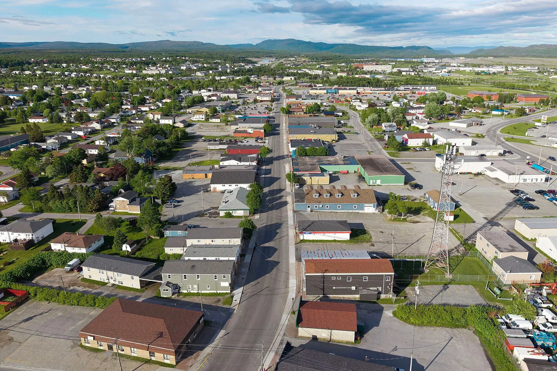
The peninsula's service town, built around a runway. Harmon Air Force Base put an American town here in the 1940s, and the street names still say Texas and Georgia. Last full services before the French Shore's smaller communities.
Stopping here adds about 1 km to that drive (188 km start to finish).
Port aux Basques → Cape St. George →
Stopping here adds about 0 km to that drive (222 km start to finish).
Stopping here adds about 0 km to that drive (491 km start to finish).
Stopping here adds about 0 km to that drive (779 km start to finish).
Stopping here adds about 0 km to that drive (823 km start to finish).
Stopping here adds about 0 km to that drive (865 km start to finish).
Use another map app
Apple Maps · Google Maps · Organic Maps · OsmAnd (both work offline, no tracking) · WazeWhat the map knows
Mapped as place: town in OpenStreetMap.
While you're stopped here: Our Lady of Mercy Heritage Church (11.6 km away) · Barachois Pond Provincial Park (23.4 km away)
From OpenStreetMap, 2026-09-05 (last edited 2023-08-22). Listed, not recommended. How we measure
Access: step-free or not isn't recorded. Ask before you go.
Pin and figures from OpenStreetMap node/1500709744 →