Worth stopping for
Pinware
Getting here
To Pinware from every airport and ferry, measured by road.
Sunrise and sunset at Pinware, by month
| Month (the 15th) | Sunrise | Sunset |
|---|---|---|
| January | 8:16 am | 4:34 pm |
| February | 7:31 am | 5:30 pm |
| March | 7:32 am | 7:20 pm |
| April | 6:21 am | 8:12 pm |
| May | 5:24 am | 9:01 pm |
| June | 4:58 am | 9:35 pm |
| July | 5:16 am | 9:29 pm |
| August | 6:01 am | 8:41 pm |
| September | 6:50 am | 7:33 pm |
| October | 7:39 am | 6:24 pm |
| November | 7:35 am | 4:28 pm |
| December | 8:16 am | 4:07 pm |
Worked out for the 15th of each month at this spot, in local time. The weather line at the top has today's.
On the way to…
Blanc-Sablon ferry → Red Bay →
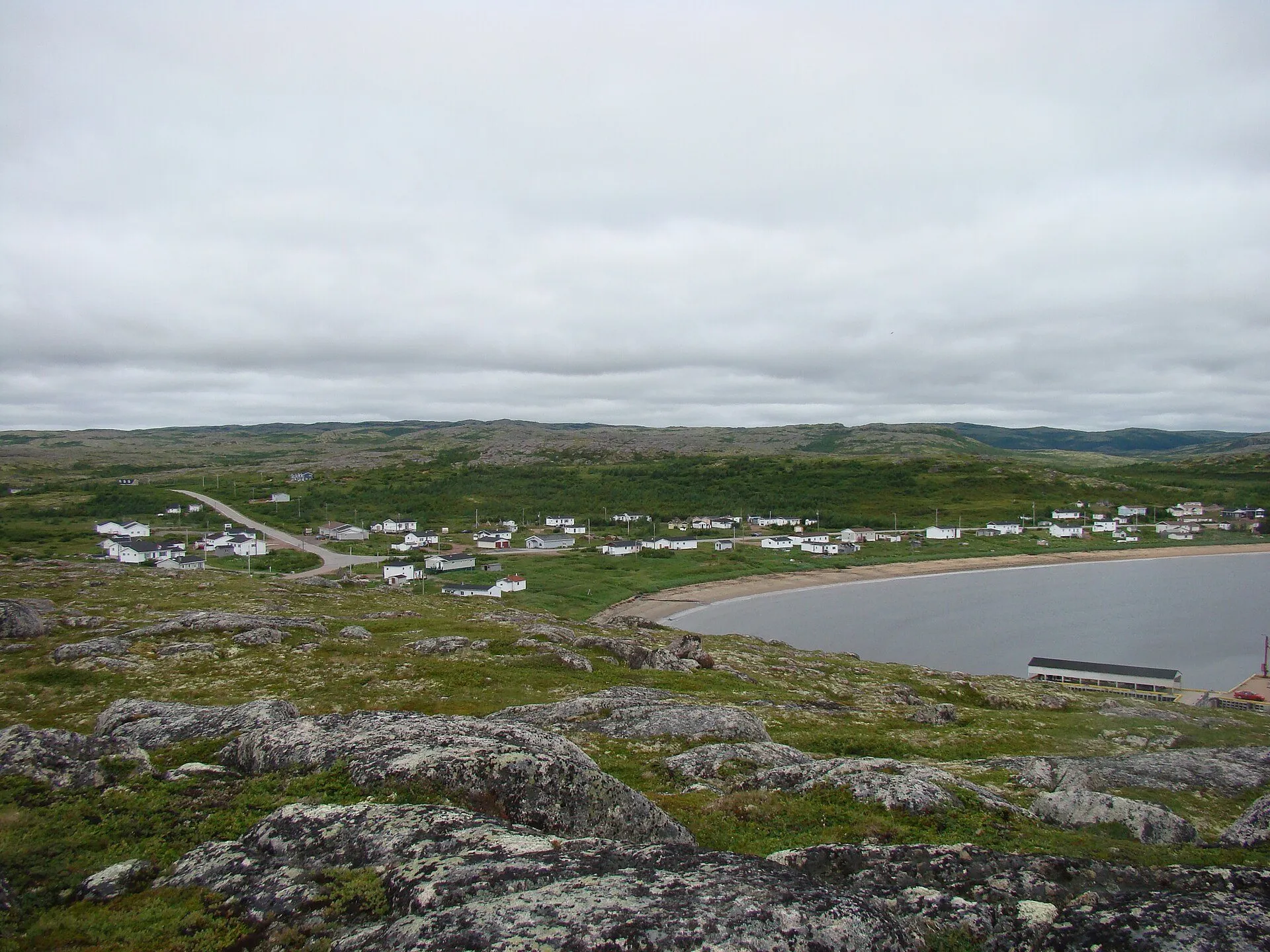
A hamlet on Route 510 between Point Amour and Red Bay.
Stopping here adds about 0 km to that drive (84 km start to finish).
Stopping here adds about 0 km to that drive (91 km start to finish).
Blanc-Sablon ferry → Mary's Harbour →
Stopping here adds about 0 km to that drive (170 km start to finish).
Stopping here adds about 0 km to that drive (178 km start to finish).
YYR → Point Amour Lighthouse →
Stopping here adds about 0 km to that drive (600 km start to finish).
Stopping here adds about 0 km to that drive (605 km start to finish).
YWK → Point Amour Lighthouse →
Stopping here adds about 0 km to that drive (1106 km start to finish).
Stopping here adds about 0 km to that drive (1110 km start to finish).
Use another map app
Apple Maps · Google Maps · Organic Maps · OsmAnd (both work offline, no tracking) · WazeWhat the map knows
While you're stopped here: Point Amour Lighthouse (20.9 km away) · Red Bay (23 km away) · Forteau (24.1 km away)
From OpenStreetMap, 2026-09-05. Listed, not recommended. How we measure
Access: step-free or not isn't recorded. Ask before you go.
Pin and figures from OpenStreetMap node/448885466 →