Worth stopping for
Cape Race Lighthouse
Getting here
To Cape Race Lighthouse from every airport and ferry, measured by road.
Sunrise and sunset at Cape Race Lighthouse, by month
| Month (the 15th) | Sunrise | Sunset |
|---|---|---|
| January | 7:42 am | 4:39 pm |
| February | 7:07 am | 5:26 pm |
| March | 7:16 am | 7:07 pm |
| April | 6:15 am | 7:48 pm |
| May | 5:28 am | 8:28 pm |
| June | 5:07 am | 8:57 pm |
| July | 5:23 am | 8:53 pm |
| August | 5:59 am | 8:14 pm |
| September | 6:39 am | 7:15 pm |
| October | 7:18 am | 6:16 pm |
| November | 7:04 am | 4:29 pm |
| December | 7:40 am | 4:15 pm |
Worked out for the 15th of each month at this spot, in local time. The weather line at the top has today's.
On the way to…
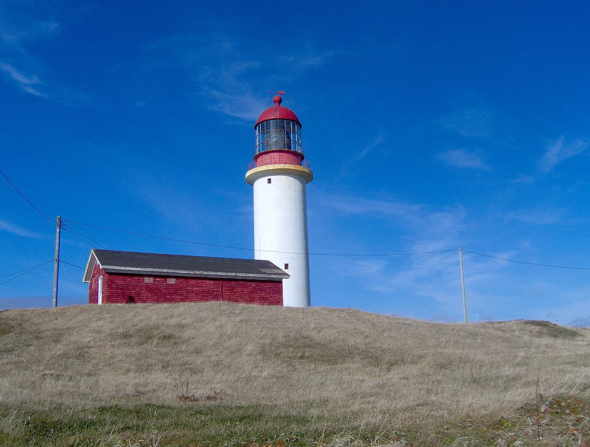
A lighthouse built in 1856 on one of the first points of land westbound sailors sighted, and a coast that wrecked hundreds of ships, per the province's tourism site. The way in is Cape Race Road, which OpenStreetMap records as unpaved for all 20.6 km it maps.
Stopping here adds about 44 km to that drive (266 km start to finish).
Use another map app
Apple Maps · Google Maps · Organic Maps · OsmAnd (both work offline, no tracking) · WazeWhat the map knows
While you're stopped here: Mistaken Point Interpretation Centre, Portugal Cove South (15.3 km away)
From OpenStreetMap, 2026-09-05. Listed, not recommended. How we measure
Access: step-free or not isn't recorded. Ask before you go.
Pin and figures from OpenStreetMap way/1557493252 →