Worth stopping for
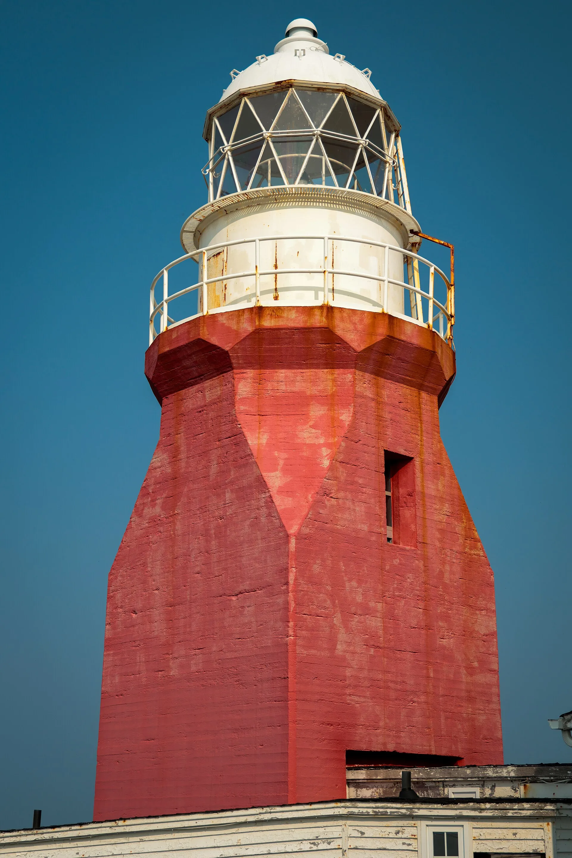
Long Point Lighthouse
On the way to…
Comfort Cove-Newstead ↔ Twillingate →
The headland most berg-watchers stand on: the lighthouse at Long Point, past Crow Head at the island's tip, with a historical exhibit alongside. The best lookout on a given day depends on where the ice is.
Stopping here adds about 14 km to that drive (85 km door to door).
The headland most berg-watchers stand on: the lighthouse at Long Point, past Crow Head at the island's tip, with a historical exhibit alongside. The best lookout on a given day depends on where the ice is.
Stopping here adds about 6.7 km to that drive (114 km door to door).
YQX → Lewisporte & Twillingate loop →
The headland most berg-watchers stand on: the lighthouse at Long Point, past Crow Head at the island's tip, with a historical exhibit beside it. A there-and-back from Twillingate. The best lookout on a given day depends on where the ice is.
Stopping here adds about 14 km to that drive (269 km door to door).
Use another map app
Apple Maps · Google Maps · Organic Maps · OsmAnd (both work offline, no tracking) · WazeWhat the map knows
Mapped as lighthouse in OpenStreetMap.
While you're stopped here: Twillingate (5 km away) · Prime Berth Fishing Museum (12.2 km away) · Bridgeport (16.1 km away)
From OpenStreetMap, 2026-09-05 (last edited 2022-12-22). Listed, not recommended. How we measure
Access: step-free or not isn't recorded. Ask before you go.
Pin and figures from OpenStreetMap node/469724587 →